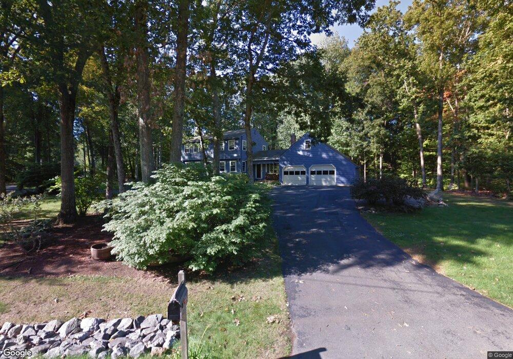
1 Wildwood Rd Windham, NH 03087
Estimated Value: $604,187 - $754,000
4
Beds
2
Baths
1,904
Sq Ft
$359/Sq Ft
Est. Value
About This Home
This home is located at 1 Wildwood Rd, Windham, NH 03087 and is currently estimated at $682,797, approximately $358 per square foot. 1 Wildwood Rd is a home located in Rockingham County with nearby schools including Golden Brook Elementary School, Windham Middle School, and Windham High School.
Ownership History
Date
Name
Owned For
Owner Type
Purchase Details
Closed on
Dec 18, 2017
Sold by
Callery Maribeth A
Bought by
Maribeth A Callery Ret
Current Estimated Value
Purchase Details
Closed on
Apr 3, 2014
Sold by
Callery Stephen P
Bought by
Callery Maribeth A
Purchase Details
Closed on
Feb 5, 2002
Sold by
Sundman Brian
Bought by
Callery Stephen P and Callery Maribeth A
Home Financials for this Owner
Home Financials are based on the most recent Mortgage that was taken out on this home.
Original Mortgage
$227,500
Interest Rate
7.15%
Create a Home Valuation Report for This Property
The Home Valuation Report is an in-depth analysis detailing your home's value as well as a comparison with similar homes in the area
Home Values in the Area
Average Home Value in this Area
Purchase History
| Date | Buyer | Sale Price | Title Company |
|---|---|---|---|
| Maribeth A Callery Ret | -- | -- | |
| Callery Maribeth A | -- | -- | |
| Callery Stephen P | $240,000 | -- |
Source: Public Records
Mortgage History
| Date | Status | Borrower | Loan Amount |
|---|---|---|---|
| Previous Owner | Callery Stephen P | $315,928 | |
| Previous Owner | Callery Stephen P | $227,500 |
Source: Public Records
Tax History
| Year | Tax Paid | Tax Assessment Tax Assessment Total Assessment is a certain percentage of the fair market value that is determined by local assessors to be the total taxable value of land and additions on the property. | Land | Improvement |
|---|---|---|---|---|
| 2024 | $7,809 | $344,900 | $127,100 | $217,800 |
| 2023 | $7,381 | $344,900 | $127,100 | $217,800 |
| 2022 | $6,815 | $344,900 | $127,100 | $217,800 |
| 2021 | $6,422 | $344,900 | $127,100 | $217,800 |
| 2020 | $6,598 | $344,900 | $127,100 | $217,800 |
| 2019 | $5,955 | $264,100 | $117,200 | $146,900 |
| 2018 | $6,151 | $264,100 | $117,200 | $146,900 |
| 2017 | $5,335 | $264,100 | $117,200 | $146,900 |
| 2016 | $5,763 | $264,100 | $117,200 | $146,900 |
| 2015 | $5,736 | $264,100 | $117,200 | $146,900 |
| 2014 | $6,110 | $254,600 | $127,000 | $127,600 |
| 2013 | $5,558 | $235,500 | $127,000 | $108,500 |
Source: Public Records
Map
Nearby Homes
- 5 Johnson St
- 6 Chadwick Cir
- 108 S Shore Rd
- 54 Enterprise Dr
- 144 N Policy St
- 10 Harris Rd
- 6-18 Mary Anthony Dr
- 11 Sullivan Ct
- 47 Cobbetts Pond Rd
- 4 Arbor Rd
- 16 Arbor Rd
- 98 Trails Edge Rd
- 30 Main St
- 48 Marblehead Rd
- 27 London Rd
- 29 London Rd
- 39 Overton Rd
- 10 Millville St
- 75 S Policy St Unit 45
- 92 Lowell Rd
Your Personal Tour Guide
Ask me questions while you tour the home.