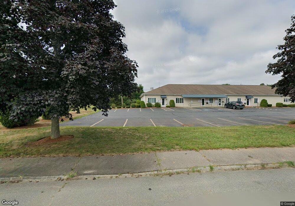
1 Wilkins Dr Plainville, MA 02762
Estimated Value: $785,382
--
Bed
1
Bath
4,850
Sq Ft
$162/Sq Ft
Est. Value
About This Home
This home is located at 1 Wilkins Dr, Plainville, MA 02762 and is currently estimated at $785,382, approximately $161 per square foot. 1 Wilkins Dr is a home located in Norfolk County with nearby schools including Anna Ware Jackson School, Beatrice H. Wood Elementary School, and Cadence Academy Preschool - North Attleborough.
Ownership History
Date
Name
Owned For
Owner Type
Purchase Details
Closed on
Mar 25, 2019
Sold by
Nicastro Robert V and Nicastro Diane M
Bought by
1 Wilkins Drive T and Nicastro
Current Estimated Value
Purchase Details
Closed on
Oct 14, 1988
Sold by
Wilkins Rlty Assoc
Bought by
Nicastro Robert V
Home Financials for this Owner
Home Financials are based on the most recent Mortgage that was taken out on this home.
Original Mortgage
$400,000
Interest Rate
10.63%
Mortgage Type
Commercial
Create a Home Valuation Report for This Property
The Home Valuation Report is an in-depth analysis detailing your home's value as well as a comparison with similar homes in the area
Home Values in the Area
Average Home Value in this Area
Purchase History
| Date | Buyer | Sale Price | Title Company |
|---|---|---|---|
| 1 Wilkins Drive T | -- | -- | |
| 1 Wilkins Drive T | -- | -- | |
| Nicastro Robert V | $284,990 | -- |
Source: Public Records
Mortgage History
| Date | Status | Borrower | Loan Amount |
|---|---|---|---|
| Previous Owner | Nicastro Robert V | $200,000 | |
| Previous Owner | Nicastro Robert V | $400,000 |
Source: Public Records
Tax History Compared to Growth
Tax History
| Year | Tax Paid | Tax Assessment Tax Assessment Total Assessment is a certain percentage of the fair market value that is determined by local assessors to be the total taxable value of land and additions on the property. | Land | Improvement |
|---|---|---|---|---|
| 2025 | $12,977 | $691,000 | $0 | $691,000 |
| 2024 | $11,013 | $586,100 | $0 | $586,100 |
| 2023 | $6,863 | $374,400 | $0 | $374,400 |
| 2022 | $7,105 | $390,400 | $0 | $390,400 |
| 2021 | $6,930 | $390,400 | $0 | $390,400 |
| 2020 | $6,914 | $390,400 | $0 | $390,400 |
| 2019 | $5,936 | $336,300 | $0 | $336,300 |
| 2018 | $5,909 | $336,300 | $0 | $336,300 |
| 2017 | $8,087 | $460,800 | $0 | $460,800 |
| 2016 | $7,978 | $474,600 | $0 | $474,600 |
| 2015 | $7,945 | $481,500 | $0 | $481,500 |
| 2014 | $7,824 | $488,400 | $0 | $488,400 |
Source: Public Records
Map
Nearby Homes
- 28 Messenger St
- 33 Dublin Way
- 2 George St Unit C
- 166 E Bacon St Unit 4
- 116 George St
- 15 Old Wood Rd
- 52 George St Unit B
- 16 Raymond Hall Dr
- 2 Woodridge St Unit 2
- 6 Hilltop Rd Unit 122
- 56B Taunton St
- 24 Red Coat Ln
- 10 Sleepy Hollow Cir
- 130 Washington St
- 126 Washington St
- 124 Washington St
- 158 Washington St
- Lot 5 Jeffrey Dr
- 11 Landry Ave
- 22 Potter Ave Unit 5
- 3 Wilkens Dr
- 7 Wilkens Dr Unit 7
- 5 Wilkens Dr Unit 3,4,5
- 5 Wilkens Dr Unit 3
- 5 Wilkens Dr Unit 4
- 5 Wilkens Dr
- 5 Wilkens Dr Unit 5
- 25 Messenger St Unit 7
- 25 Messenger St
- 2 Wilkens Dr
- 51 Messenger St
- 30 Man-Mar Dr
- 30 Man-Mar Dr Unit 10
- 30 Man-Mar Dr Unit 8
- 30 Man Mar Dr Unit 9
- 30 Man Mar Dr Unit 2
- 30 Man Mar Dr Unit 6
- 30 Man Mar Dr Unit 1
- 30 Man Mar Dr Unit 12
- 30 Man Mar Dr Unit 8