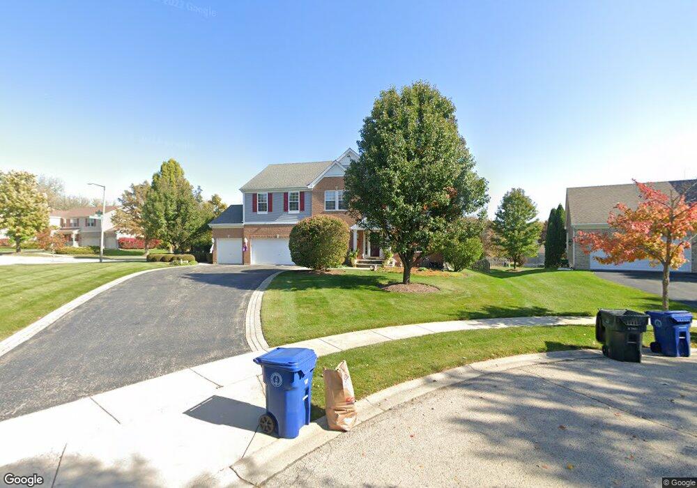
1 Windsor Ct Unit 3 Algonquin, IL 60102
Estimated Value: $456,715 - $536,000
4
Beds
3
Baths
3,190
Sq Ft
$159/Sq Ft
Est. Value
About This Home
This home is located at 1 Windsor Ct Unit 3, Algonquin, IL 60102 and is currently estimated at $505,929, approximately $158 per square foot. 1 Windsor Ct Unit 3 is a home located in McHenry County with nearby schools including Westfield Community School, United Junior High School, and Harry D Jacobs High School.
Ownership History
Date
Name
Owned For
Owner Type
Purchase Details
Closed on
May 26, 2004
Sold by
Swindells Neil and Swindells Cheryl
Bought by
Krause Martin J and Savaiinaea Krause Meta
Current Estimated Value
Home Financials for this Owner
Home Financials are based on the most recent Mortgage that was taken out on this home.
Original Mortgage
$235,000
Outstanding Balance
$114,800
Interest Rate
5.99%
Mortgage Type
Unknown
Estimated Equity
$391,129
Purchase Details
Closed on
Sep 18, 1998
Sold by
Kennedy Group Ltd Partnership
Bought by
Swindells Neil and Swindells Cheryl
Home Financials for this Owner
Home Financials are based on the most recent Mortgage that was taken out on this home.
Original Mortgage
$250,000
Interest Rate
6.5%
Create a Home Valuation Report for This Property
The Home Valuation Report is an in-depth analysis detailing your home's value as well as a comparison with similar homes in the area
Home Values in the Area
Average Home Value in this Area
Purchase History
| Date | Buyer | Sale Price | Title Company |
|---|---|---|---|
| Krause Martin J | $350,000 | Pntn | |
| Swindells Neil | $282,000 | -- |
Source: Public Records
Mortgage History
| Date | Status | Borrower | Loan Amount |
|---|---|---|---|
| Open | Krause Martin J | $235,000 | |
| Previous Owner | Swindells Neil | $250,000 |
Source: Public Records
Tax History Compared to Growth
Tax History
| Year | Tax Paid | Tax Assessment Tax Assessment Total Assessment is a certain percentage of the fair market value that is determined by local assessors to be the total taxable value of land and additions on the property. | Land | Improvement |
|---|---|---|---|---|
| 2024 | $9,777 | $140,987 | $29,718 | $111,269 |
| 2023 | $8,552 | $126,095 | $26,579 | $99,516 |
| 2022 | $9,190 | $131,494 | $29,809 | $101,685 |
| 2021 | $10,338 | $122,503 | $27,771 | $94,732 |
| 2020 | $10,072 | $118,166 | $26,788 | $91,378 |
| 2019 | $9,834 | $113,099 | $25,639 | $87,460 |
| 2018 | $10,022 | $111,148 | $25,197 | $85,951 |
| 2017 | $9,829 | $104,708 | $23,737 | $80,971 |
| 2016 | $9,696 | $98,207 | $22,263 | $75,944 |
| 2013 | -- | $86,957 | $20,768 | $66,189 |
Source: Public Records
Map
Nearby Homes
- 305 Buckingham Dr
- 661 Majestic Dr
- 2235 Dawson Ln
- 135 Arquilla Dr
- 741 Regal Ln
- 700 Fairfield Ln
- 1820 Crofton Dr
- Lots 10 & 11 Ramble Rd
- 113 Pheasant Trail
- 101 Oakleaf Rd
- 266 Grandview Ct
- 1235 Fairmont Ct
- 16 Brian Ct
- 212 Village Creek Dr
- LOT 3 Blackhawk Dr
- 909 Roger St
- 541 Blackhawk Dr
- 2801 Waterfront Ave
- 275 Indian Trail
- 601 Woods Creek Ln
- 3 Windsor Ct
- 250 Winchester Dr
- 335 Buckingham Dr
- 320 Buckingham Dr
- 260 Winchester Dr
- 6 Windsor Ct
- 2 Windsor Ct
- 4 Windsor Ct Unit 3
- 270 Winchester Dr
- 325 Cardiff Dr
- 325 Buckingham Dr
- 280 Winchester Dr
- 310 Buckingham Dr
- 290 Winchester Dr
- 300 Winchester Dr
- 255 Winchester Dr
- 310 Winchester Dr
- 265 Winchester Dr Unit 3
- 320 Winchester Dr Unit 3
- 315 Buckingham Dr