1 Xhengo Ln Hanover, MA 02339
Estimated Value: $1,480,000 - $1,806,000
4
Beds
6
Baths
4,142
Sq Ft
$392/Sq Ft
Est. Value
About This Home
This home is located at 1 Xhengo Ln, Hanover, MA 02339 and is currently estimated at $1,624,903, approximately $392 per square foot. 1 Xhengo Ln is a home with nearby schools including Hanover High School, South Shore Charter Public School, and The Master's Academy.
Ownership History
Date
Name
Owned For
Owner Type
Purchase Details
Closed on
May 23, 2016
Sold by
Xhengo Hanvoer Land Rt
Bought by
Xhengo Vladimir and Xhengo Rovena
Current Estimated Value
Home Financials for this Owner
Home Financials are based on the most recent Mortgage that was taken out on this home.
Original Mortgage
$417,000
Outstanding Balance
$324,641
Interest Rate
3%
Mortgage Type
Adjustable Rate Mortgage/ARM
Estimated Equity
$1,300,262
Create a Home Valuation Report for This Property
The Home Valuation Report is an in-depth analysis detailing your home's value as well as a comparison with similar homes in the area
Home Values in the Area
Average Home Value in this Area
Purchase History
| Date | Buyer | Sale Price | Title Company |
|---|---|---|---|
| Xhengo Vladimir | -- | -- |
Source: Public Records
Mortgage History
| Date | Status | Borrower | Loan Amount |
|---|---|---|---|
| Open | Xhengo Vladimir | $417,000 |
Source: Public Records
Tax History Compared to Growth
Tax History
| Year | Tax Paid | Tax Assessment Tax Assessment Total Assessment is a certain percentage of the fair market value that is determined by local assessors to be the total taxable value of land and additions on the property. | Land | Improvement |
|---|---|---|---|---|
| 2025 | $17,390 | $1,408,100 | $350,200 | $1,057,900 |
| 2024 | $18,080 | $1,408,100 | $350,200 | $1,057,900 |
| 2023 | $18,468 | $1,369,000 | $319,900 | $1,049,100 |
| 2022 | $17,516 | $1,148,600 | $269,000 | $879,600 |
| 2021 | $5,027 | $1,091,000 | $245,900 | $845,100 |
| 2020 | $15,922 | $976,200 | $245,900 | $730,300 |
| 2019 | $16,648 | $1,014,500 | $245,900 | $768,600 |
| 2018 | $3,673 | $877,700 | $231,900 | $645,800 |
| 2017 | $12,653 | $765,900 | $237,000 | $528,900 |
| 2016 | $3,632 | $215,400 | $215,400 | $0 |
| 2015 | $3,989 | $247,000 | $247,000 | $0 |
Source: Public Records
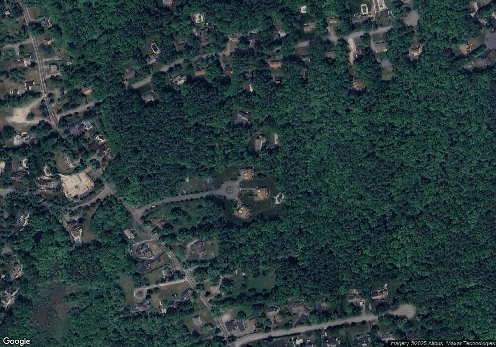
Map
Nearby Homes
- 44 Stone Meadow Ln
- 8 Merritt Rd
- 43 Simmons Rd
- 118 Bates Way
- 276 Woodland Dr
- 61 Deborah Rd
- 62 Larchmont Ln
- 1239 Main St
- 983 Webster St
- 216 Whiting St
- 1015 Webster St
- 116 Spring Meadow Ln
- 11 Silver Brook Ln Unit 11
- 1225 Hanover St
- 7 Assinippi Ave Unit 216
- 80 Coolidge Rd
- 612 Whiting St
- 1 Corn Mill Way
- 5 Corn Mill Way
- 114 Main St