10 5th St Cambridge, MA 02141
East Cambridge NeighborhoodEstimated Value: $1,100,000 - $1,386,000
3
Beds
2
Baths
1,200
Sq Ft
$1,006/Sq Ft
Est. Value
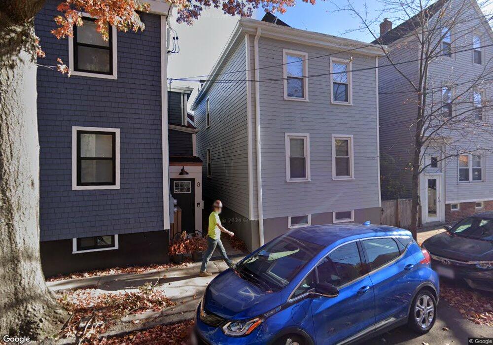
About This Home
This home is located at 10 5th St, Cambridge, MA 02141 and is currently estimated at $1,207,720, approximately $1,006 per square foot. 10 5th St is a home located in Middlesex County with nearby schools including Community Charter School of Cambridge.
Ownership History
Date
Name
Owned For
Owner Type
Purchase Details
Closed on
May 15, 2018
Sold by
Lewis Victoria
Bought by
Victoria Lewis T
Current Estimated Value
Purchase Details
Closed on
Apr 28, 1994
Sold by
Mitrano Rose M and Mitrano Mario A
Bought by
Lewis Victoria J
Create a Home Valuation Report for This Property
The Home Valuation Report is an in-depth analysis detailing your home's value as well as a comparison with similar homes in the area
Home Values in the Area
Average Home Value in this Area
Purchase History
| Date | Buyer | Sale Price | Title Company |
|---|---|---|---|
| Victoria Lewis T | -- | -- | |
| Lewis Victoria J | $98,000 | -- | |
| Lewis Victoria J | $98,000 | -- |
Source: Public Records
Mortgage History
| Date | Status | Borrower | Loan Amount |
|---|---|---|---|
| Previous Owner | Lewis Victoria J | $185,000 | |
| Previous Owner | Lewis Victoria J | $125,000 |
Source: Public Records
Property History
| Date | Event | Price | List to Sale | Price per Sq Ft |
|---|---|---|---|---|
| 10/08/2024 10/08/24 | Off Market | $4,300 | -- | -- |
| 10/01/2024 10/01/24 | For Rent | $4,300 | -- | -- |
Tax History
| Year | Tax Paid | Tax Assessment Tax Assessment Total Assessment is a certain percentage of the fair market value that is determined by local assessors to be the total taxable value of land and additions on the property. | Land | Improvement |
|---|---|---|---|---|
| 2025 | $5,518 | $869,000 | $579,500 | $289,500 |
| 2024 | $5,365 | $906,300 | $629,200 | $277,100 |
| 2023 | $4,924 | $840,200 | $600,700 | $239,500 |
| 2022 | $4,875 | $823,500 | $611,600 | $211,900 |
| 2021 | $4,663 | $797,100 | $600,200 | $196,900 |
| 2020 | $4,556 | $792,300 | $605,800 | $186,500 |
| 2019 | $4,371 | $735,800 | $594,300 | $141,500 |
| 2018 | $3,920 | $623,200 | $492,800 | $130,400 |
| 2017 | $3,664 | $564,600 | $440,600 | $124,000 |
| 2016 | $3,242 | $463,800 | $345,000 | $118,800 |
| 2015 | $3,141 | $401,700 | $295,700 | $106,000 |
| 2014 | $2,795 | $333,500 | $229,000 | $104,500 |
Source: Public Records
Map
Nearby Homes
- 262 Monsignor Obrien Hwy Unit 305
- 68 Gore St
- 59 7th St
- 59 7th St Unit 2
- 59 7th St Unit 1
- 59 7th St Unit 3
- 78 Otis St
- 47-53R 8th St
- 66 6th St Unit 3
- 76-78 Thorndike St
- 93 Third St
- 303 Hurley St
- 259 Hurley St Unit 4
- 241 Hurley St Unit 1
- 9 Medford St Unit 405
- 9 Medford St Unit 410
- 9 Medford St Unit 3
- 1 Fitchburg St Unit C303
- 30
- 30 2nd St Unit B
Your Personal Tour Guide
Ask me questions while you tour the home.