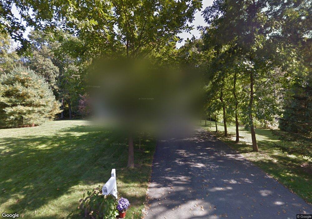
10 Algonquin Dr Hadley, MA 01035
Estimated Value: $446,356 - $542,000
2
Beds
2
Baths
1,366
Sq Ft
$374/Sq Ft
Est. Value
About This Home
This home is located at 10 Algonquin Dr, Hadley, MA 01035 and is currently estimated at $511,339, approximately $374 per square foot. 10 Algonquin Dr is a home located in Hampshire County with nearby schools including Hadley Elementary School, Hopkins Academy, and Pioneer Valley Chinese Immersion Charter School.
Ownership History
Date
Name
Owned For
Owner Type
Purchase Details
Closed on
Mar 14, 2025
Sold by
Toong Kenneth K and Toong Pamela J
Bought by
Toong Pamela J
Current Estimated Value
Purchase Details
Closed on
Nov 15, 1999
Sold by
Seppala Michael R
Bought by
Toong Kenneth K and Toong Pamela J
Home Financials for this Owner
Home Financials are based on the most recent Mortgage that was taken out on this home.
Original Mortgage
$141,200
Interest Rate
7.68%
Mortgage Type
Purchase Money Mortgage
Create a Home Valuation Report for This Property
The Home Valuation Report is an in-depth analysis detailing your home's value as well as a comparison with similar homes in the area
Home Values in the Area
Average Home Value in this Area
Purchase History
| Date | Buyer | Sale Price | Title Company |
|---|---|---|---|
| Toong Pamela J | -- | None Available | |
| Toong Pamela J | -- | None Available | |
| Toong Kenneth K | $176,500 | -- | |
| Toong Kenneth K | $176,500 | -- |
Source: Public Records
Mortgage History
| Date | Status | Borrower | Loan Amount |
|---|---|---|---|
| Previous Owner | Toong Kenneth K | $140,000 | |
| Previous Owner | Toong Kenneth K | $141,200 | |
| Previous Owner | Toong Kenneth K | $30,000 |
Source: Public Records
Tax History
| Year | Tax Paid | Tax Assessment Tax Assessment Total Assessment is a certain percentage of the fair market value that is determined by local assessors to be the total taxable value of land and additions on the property. | Land | Improvement |
|---|---|---|---|---|
| 2025 | $3,973 | $341,600 | $116,900 | $224,700 |
| 2024 | $3,733 | $327,700 | $116,900 | $210,800 |
| 2023 | $3,782 | $327,700 | $116,900 | $210,800 |
| 2022 | $3,779 | $310,300 | $116,900 | $193,400 |
| 2021 | $3,506 | $292,200 | $116,900 | $175,300 |
| 2020 | $3,572 | $279,500 | $116,900 | $162,600 |
| 2019 | $3,499 | $283,100 | $116,900 | $166,200 |
| 2018 | $3,423 | $283,100 | $116,900 | $166,200 |
| 2017 | $3,346 | $289,200 | $116,900 | $172,300 |
| 2016 | $3,225 | $289,200 | $116,900 | $172,300 |
| 2015 | $3,141 | $289,200 | $116,900 | $172,300 |
| 2014 | $3,077 | $289,200 | $116,900 | $172,300 |
Source: Public Records
Map
Nearby Homes
- 58 Main St Unit 4
- 58 Main St Unit 3
- 30 Greenleaves Dr
- 11 West St
- 27 Greenleaves Dr Unit 726
- 26 Greenleaves Dr Unit 635
- 24 Greenleaves Dr Unit 418
- 0 N Branch Rd
- 18 Elm St
- 83 Bay Rd
- 63 Amity Place Unit 63
- 75 Amity Place Unit 75
- 170 E Hadley Rd Unit 87
- 26 Russell St Unit A-B
- Lot 3 Roosevelt St
- 141 Tracy Cir
- 0 Main St
- 0 Straits Rd
- 12 Dwight St
- 48 Gray St
- 8 Algonquin Dr
- 12 Algonquin Dr
- 9 Algonquin Dr
- 11 Algonquin Dr
- 7 Algonquin Dr
- 6 Algonquin Dr
- 12 Wampanoag Dr
- 5 Algonquin Dr
- 14 Wampanoag Dr
- 10 Wampanoag Dr
- 4 Algonquin Dr
- 3 Algonquin Dr
- 11 Wampanoag Dr
- 15 Wampanoag Dr
- 8 Wampanoag Dr
- 2 Algonquin Dr
- 3 Popes Way
- 7 Wampanoag Dr
- 13 Wampanoag Dr
- 1 Popes Way
Your Personal Tour Guide
Ask me questions while you tour the home.