10 Anthony Rd North Reading, MA 01864
Estimated Value: $818,000 - $940,000
3
Beds
2
Baths
1,700
Sq Ft
$522/Sq Ft
Est. Value
About This Home
This home is located at 10 Anthony Rd, North Reading, MA 01864 and is currently estimated at $887,221, approximately $521 per square foot. 10 Anthony Rd is a home located in Middlesex County with nearby schools including J Turner Hood, North Reading Middle School, and North Reading High School.
Ownership History
Date
Name
Owned For
Owner Type
Purchase Details
Closed on
Sep 30, 2009
Sold by
Gutro James P and Gutro Lisa M
Bought by
Foster Shaun M and Riley Rachel A
Current Estimated Value
Home Financials for this Owner
Home Financials are based on the most recent Mortgage that was taken out on this home.
Original Mortgage
$276,000
Interest Rate
5.12%
Mortgage Type
Purchase Money Mortgage
Purchase Details
Closed on
Dec 14, 1995
Sold by
Sakase Takao
Bought by
Gutro James P and Gutro Lisa M
Home Financials for this Owner
Home Financials are based on the most recent Mortgage that was taken out on this home.
Original Mortgage
$180,500
Interest Rate
7.43%
Mortgage Type
Purchase Money Mortgage
Purchase Details
Closed on
Apr 30, 1990
Sold by
Warren Wanda E
Bought by
Sakase Takao
Create a Home Valuation Report for This Property
The Home Valuation Report is an in-depth analysis detailing your home's value as well as a comparison with similar homes in the area
Home Values in the Area
Average Home Value in this Area
Purchase History
| Date | Buyer | Sale Price | Title Company |
|---|---|---|---|
| Foster Shaun M | $376,000 | -- | |
| Gutro James P | $190,000 | -- | |
| Sakase Takao | $185,000 | -- |
Source: Public Records
Mortgage History
| Date | Status | Borrower | Loan Amount |
|---|---|---|---|
| Open | Sakase Takao | $279,500 | |
| Closed | Foster Shaun M | $276,000 | |
| Previous Owner | Sakase Takao | $179,500 | |
| Previous Owner | Sakase Takao | $180,500 |
Source: Public Records
Tax History
| Year | Tax Paid | Tax Assessment Tax Assessment Total Assessment is a certain percentage of the fair market value that is determined by local assessors to be the total taxable value of land and additions on the property. | Land | Improvement |
|---|---|---|---|---|
| 2025 | $10,316 | $789,900 | $391,500 | $398,400 |
| 2024 | $9,901 | $749,500 | $362,500 | $387,000 |
| 2023 | $9,649 | $689,700 | $350,800 | $338,900 |
| 2022 | $9,329 | $621,900 | $319,800 | $302,100 |
| 2021 | $10,444 | $668,200 | $320,100 | $348,100 |
Source: Public Records
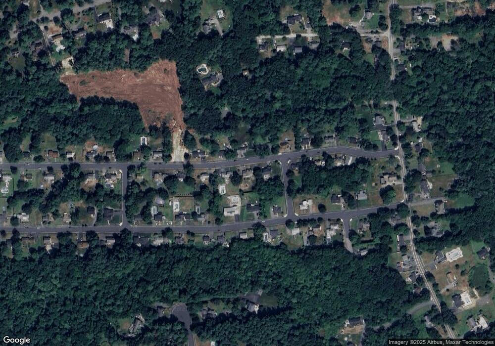
Map
Nearby Homes
- 2 Pipers Glen
- 47 Harold Parker Rd
- 12 Magnolia St
- 5 Palomino Dr
- 156 North St
- 30 Colonial Dr Unit 5A
- 5 Greenbriar Dr Unit 107
- 11 Cogswell Rd
- 12D Chester Rd
- 3 Greenbriar Dr Unit 106
- 3 Greenbriar Dr Unit 303
- 18 Duane Dr
- 2 Greenbriar Dr Unit 205
- 177 Haverhill St
- 1 Greenbriar Dr Unit 303
- 3 Pinecrest Rd
- 12 Parkview Terrace
- 19 Pleasant St
- 245 Elm St
- 114 Haverhill St
Your Personal Tour Guide
Ask me questions while you tour the home.