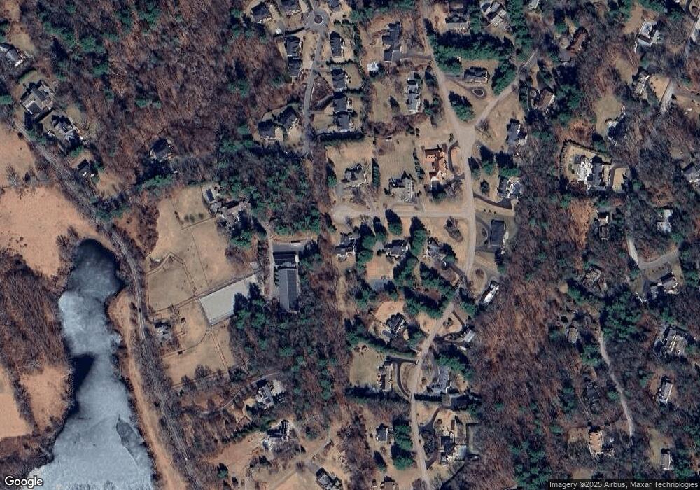
10 Apache Trail Weston, MA 02493
Estimated Value: $2,102,000 - $2,725,000
4
Beds
4
Baths
4,246
Sq Ft
$563/Sq Ft
Est. Value
About This Home
This home is located at 10 Apache Trail, Weston, MA 02493 and is currently estimated at $2,388,949, approximately $562 per square foot. 10 Apache Trail is a home with nearby schools including Wayland High School.
Ownership History
Date
Name
Owned For
Owner Type
Purchase Details
Closed on
May 4, 2021
Sold by
Jackson Walter F and Jackson Mary B
Bought by
Jackson Ft and Jackson
Current Estimated Value
Purchase Details
Closed on
Jun 21, 2002
Sold by
Burke Joan K
Bought by
Shaughnessy Maura A and Regenauer Bernard J
Purchase Details
Closed on
Jul 16, 1987
Sold by
Drape Eugene W
Bought by
Burke Joan K
Home Financials for this Owner
Home Financials are based on the most recent Mortgage that was taken out on this home.
Original Mortgage
$300,000
Interest Rate
10.69%
Mortgage Type
Purchase Money Mortgage
Create a Home Valuation Report for This Property
The Home Valuation Report is an in-depth analysis detailing your home's value as well as a comparison with similar homes in the area
Home Values in the Area
Average Home Value in this Area
Purchase History
| Date | Buyer | Sale Price | Title Company |
|---|---|---|---|
| Jackson Ft | -- | None Available | |
| Shaughnessy Maura A | $1,348,000 | -- | |
| Burke Joan K | $565,000 | -- | |
| Shaughnessy Maura A | $1,348,000 | -- |
Source: Public Records
Mortgage History
| Date | Status | Borrower | Loan Amount |
|---|---|---|---|
| Previous Owner | Burke Joan K | $487,800 | |
| Previous Owner | Burke Joan K | $500,000 | |
| Previous Owner | Burke Joan K | $300,000 |
Source: Public Records
Tax History
| Year | Tax Paid | Tax Assessment Tax Assessment Total Assessment is a certain percentage of the fair market value that is determined by local assessors to be the total taxable value of land and additions on the property. | Land | Improvement |
|---|---|---|---|---|
| 2025 | $24,758 | $1,584,000 | $680,300 | $903,700 |
| 2024 | $23,401 | $1,507,800 | $647,700 | $860,100 |
| 2023 | $22,669 | $1,361,500 | $588,700 | $772,800 |
| 2022 | $21,690 | $1,182,000 | $487,700 | $694,300 |
| 2021 | $21,074 | $1,137,900 | $443,600 | $694,300 |
| 2020 | $20,209 | $1,137,900 | $443,600 | $694,300 |
| 2019 | $19,349 | $1,058,500 | $422,600 | $635,900 |
| 2018 | $18,546 | $1,028,600 | $422,600 | $606,000 |
| 2017 | $17,984 | $991,400 | $409,300 | $582,100 |
| 2016 | $16,487 | $950,800 | $418,400 | $532,400 |
| 2015 | $16,904 | $919,200 | $418,400 | $500,800 |
Source: Public Records
Map
Nearby Homes
- 10 Audubon Rd
- 1605 Wisteria Way
- 8 Fox Hollow
- 9 Sanderson Ln
- 19 Old Connecticut Path
- 180 Highland St
- 10 Hayward Rd
- 6 Steepletree Ln
- 156 Boston Post Rd
- 1 Pine Summit Cir
- 5 Pickwick Way
- 741 Boston Post Rd
- 620 South Ave
- 1 Winthrop Terrace
- 83 Brown St
- 37 Davelin Rd
- 1 Cole Rd
- 02 Wellesley St
- 01 Wellesley St
- 0 Wellesley St
- 4 Apache Trail
- 153 Buckskin Dr
- 205 Rice Rd
- 9 Apache Trail
- 5 Apache Trail
- 145 Buckskin Dr
- 149 Buckskin Dr
- 21 Covered Bridge Ln
- 139 Buckskin Dr
- 139 Buckskin Dr Unit 1
- 153 Buckskin Dr
- 20 Covered Bridge Ln
- 23 Covered Bridge Ln
- 18 Covered Bridge Ln
- 150 Buckskin Dr
- 148 Buckskin Dr
- 33 Whispering Ln
- 142 Buckskin Dr
- 142 Buckskin Dr
- 142 Buckskin Dr
