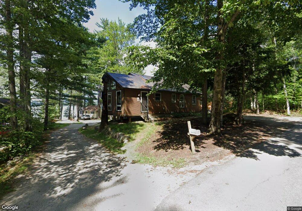
10 Arrowhead Point Rd Bristol, NH 03222
Estimated Value: $515,665 - $673,000
2
Beds
2
Baths
1,382
Sq Ft
$441/Sq Ft
Est. Value
About This Home
This home is located at 10 Arrowhead Point Rd, Bristol, NH 03222 and is currently estimated at $609,416, approximately $440 per square foot. 10 Arrowhead Point Rd is a home located in Grafton County with nearby schools including Bristol Elementary School.
Ownership History
Date
Name
Owned For
Owner Type
Purchase Details
Closed on
Jun 11, 1997
Sold by
Oconnor Brian D and Oconnor Patricia E
Bought by
Colpitts Laurie A and Colpitts Gerald A
Current Estimated Value
Home Financials for this Owner
Home Financials are based on the most recent Mortgage that was taken out on this home.
Original Mortgage
$70,200
Interest Rate
7.97%
Create a Home Valuation Report for This Property
The Home Valuation Report is an in-depth analysis detailing your home's value as well as a comparison with similar homes in the area
Home Values in the Area
Average Home Value in this Area
Purchase History
| Date | Buyer | Sale Price | Title Company |
|---|---|---|---|
| Colpitts Laurie A | $86,500 | -- |
Source: Public Records
Mortgage History
| Date | Status | Borrower | Loan Amount |
|---|---|---|---|
| Open | Colpitts Laurie A | $230,000 | |
| Closed | Colpitts Laurie A | $70,200 |
Source: Public Records
Tax History Compared to Growth
Tax History
| Year | Tax Paid | Tax Assessment Tax Assessment Total Assessment is a certain percentage of the fair market value that is determined by local assessors to be the total taxable value of land and additions on the property. | Land | Improvement |
|---|---|---|---|---|
| 2024 | $6,864 | $290,600 | $155,800 | $134,800 |
| 2023 | $6,611 | $290,600 | $155,800 | $134,800 |
| 2022 | $6,037 | $287,600 | $155,800 | $131,800 |
| 2021 | $5,812 | $287,600 | $155,800 | $131,800 |
| 2020 | $6,273 | $303,200 | $171,400 | $131,800 |
| 2019 | $5,119 | $224,500 | $105,400 | $119,100 |
| 2018 | $4,894 | $224,500 | $105,400 | $119,100 |
| 2017 | $4,968 | $224,500 | $105,400 | $119,100 |
| 2016 | $4,629 | $224,500 | $105,400 | $119,100 |
| 2015 | $4,521 | $224,600 | $97,200 | $127,400 |
| 2014 | $4,521 | $224,600 | $97,200 | $127,400 |
| 2013 | $4,532 | $224,600 | $97,200 | $127,400 |
Source: Public Records
Map
Nearby Homes
- 383 Wulamat Rd
- 40 Adams Rd
- 35 Manor Estates Dr Unit 14
- 199 Cottage City Rd
- 26 Don Gerry Rd
- 125 Verrill Rd
- 114 Ledgewood Terrace
- 862 Mayhew Turnpike Unit 1
- 4 Birchwood Dr Unit A
- 497 W Shore Rd
- 00 Ledgewood Cir Unit 7
- 94 Mandi Ln
- 301 Perkins Hill Rd
- 341 Perkins Hill Rd
- 29 Daniels Rd
- Lot 7 Hall Rd
- 80 Patten Rd
- 333 Lake St
- 150 Peaked Hill Rd
- 135 Pleasant St
- 24 Arrowhead Point Rd
- 11 Arrowhead Point Rd
- 309 Wulamat Rd
- 19 Arrowhead Point Rd
- 321 Wulamat Rd
- 311 Wulamat Rd
- 25 Arrowhead Point Rd
- 307 Wulamat Rd
- 318 Wulamat Rd
- 300 Wulamat Rd
- 305 Wulamat Rd
- 301 Wulamat Rd
- 327 Wulamat Rd
- 33 Arrowhead Point Rd
- 333 Wulamat Rd
- 280 Wulamat Rd
- 39 Arrowhead Point Rd
- 303 Wulamat Rd
- 336 Wulamat Rd
- 345 Wulamat Rd