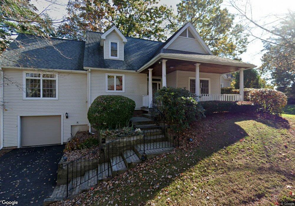
10 Aster Place Windsor, CT 06095
West Windsor NeighborhoodEstimated Value: $403,000 - $447,000
2
Beds
2
Baths
2,295
Sq Ft
$189/Sq Ft
Est. Value
About This Home
This home is located at 10 Aster Place, Windsor, CT 06095 and is currently estimated at $433,131, approximately $188 per square foot. 10 Aster Place is a home located in Hartford County with nearby schools including Oliver Ellsworth School, John F. Kennedy School, and Sage Park Middle School.
Ownership History
Date
Name
Owned For
Owner Type
Purchase Details
Closed on
Jul 29, 2019
Sold by
2 Fish Aster Llc
Bought by
Marius Kathie
Current Estimated Value
Home Financials for this Owner
Home Financials are based on the most recent Mortgage that was taken out on this home.
Original Mortgage
$182,500
Outstanding Balance
$159,820
Interest Rate
3.8%
Mortgage Type
New Conventional
Estimated Equity
$273,311
Purchase Details
Closed on
Feb 9, 1995
Sold by
Remer John
Bought by
Fleissner Mary Lou
Create a Home Valuation Report for This Property
The Home Valuation Report is an in-depth analysis detailing your home's value as well as a comparison with similar homes in the area
Home Values in the Area
Average Home Value in this Area
Purchase History
| Date | Buyer | Sale Price | Title Company |
|---|---|---|---|
| Marius Kathie | $234,900 | -- | |
| Fleissner Mary Lou | $182,500 | -- |
Source: Public Records
Mortgage History
| Date | Status | Borrower | Loan Amount |
|---|---|---|---|
| Open | Marius Kathie | $182,500 | |
| Previous Owner | Fleissner Mary Lou | $88,000 |
Source: Public Records
Tax History
| Year | Tax Paid | Tax Assessment Tax Assessment Total Assessment is a certain percentage of the fair market value that is determined by local assessors to be the total taxable value of land and additions on the property. | Land | Improvement |
|---|---|---|---|---|
| 2025 | $6,849 | $240,730 | $0 | $240,730 |
| 2024 | $7,299 | $240,730 | $0 | $240,730 |
| 2023 | $5,988 | $178,220 | $0 | $178,220 |
| 2022 | $5,929 | $178,220 | $0 | $178,220 |
| 2021 | $5,929 | $178,220 | $0 | $178,220 |
| 2020 | $5,901 | $178,220 | $0 | $178,220 |
| 2019 | $5,771 | $178,220 | $0 | $178,220 |
| 2018 | $6,416 | $194,670 | $0 | $194,670 |
| 2017 | $6,317 | $194,670 | $0 | $194,670 |
| 2016 | $6,136 | $194,670 | $0 | $194,670 |
| 2015 | $6,019 | $194,670 | $0 | $194,670 |
| 2014 | $5,932 | $194,670 | $0 | $194,670 |
Source: Public Records
Map
Nearby Homes
- 10 Cleary Ln
- 24 Mary Catherine Cir
- 1 Deanne Lynn Cir
- 22 Eastview Dr
- 490 Old Day Hill Rd
- 16 Cornfield Rd
- 22 Apple Tree Ln
- 9 Milo Peck Ln
- 16 Hilltop Rd
- 109 Old Village Cir
- 823 Stone Rd
- 136 High Path Rd
- 118 High Path Rd Unit 118
- 1946 Poquonock Ave
- 98 High Path Rd
- 268 High Path Rd Unit 268
- 58 High Path Rd Unit 58
- 943 High Path Rd Unit 943
- 105 Trent Dr
- 39 Loren Cir
- 10 Aster Place
- 10 Aster Place Unit 10
- 37 Knollwood N
- 37 Knollwood N Unit 37
- 12 Aster Place
- 38 Knollwood N
- 39 Knollwood N
- 14 Aster Place
- 14 Aster Place Unit 14
- 11 Aster Place
- 2 Scarlet Ln
- 2 Scarlet Ln Unit 2
- 20 Ivy Ln
- 20 Ivy Ln Unit 20
- 35 Knollwood N
- 35 Knollwood N Unit 35
- 33 Knollwood N
- 22 Ivy Ln
- 36 Knollwood N
- 106 Knollwood S
Your Personal Tour Guide
Ask me questions while you tour the home.