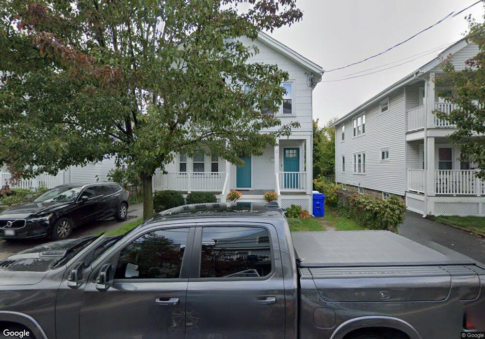
10 Bagnal St Unit 12 Allston, MA 02134
Allston NeighborhoodEstimated Value: $1,039,000 - $1,238,000
2
Beds
2
Baths
2,260
Sq Ft
$510/Sq Ft
Est. Value
About This Home
This home is located at 10 Bagnal St Unit 12, Allston, MA 02134 and is currently estimated at $1,152,703, approximately $510 per square foot. 10 Bagnal St Unit 12 is a home located in Suffolk County with nearby schools including Boston Green Academy Horace Mann Charter School, German International School Boston, and St Herman Of Alaska Christian School.
Ownership History
Date
Name
Owned For
Owner Type
Purchase Details
Closed on
Sep 30, 1997
Sold by
Goto Norio and Goto Judith B
Bought by
Mcnair David and Mcnair Lindsay
Current Estimated Value
Home Financials for this Owner
Home Financials are based on the most recent Mortgage that was taken out on this home.
Original Mortgage
$172,000
Interest Rate
7.47%
Mortgage Type
Purchase Money Mortgage
Create a Home Valuation Report for This Property
The Home Valuation Report is an in-depth analysis detailing your home's value as well as a comparison with similar homes in the area
Home Values in the Area
Average Home Value in this Area
Purchase History
| Date | Buyer | Sale Price | Title Company |
|---|---|---|---|
| Mcnair David | $215,000 | -- |
Source: Public Records
Mortgage History
| Date | Status | Borrower | Loan Amount |
|---|---|---|---|
| Open | Mcnair David | $340,000 | |
| Closed | Mcnair David | $143,000 | |
| Closed | Mcnair David | $172,000 |
Source: Public Records
Tax History Compared to Growth
Tax History
| Year | Tax Paid | Tax Assessment Tax Assessment Total Assessment is a certain percentage of the fair market value that is determined by local assessors to be the total taxable value of land and additions on the property. | Land | Improvement |
|---|---|---|---|---|
| 2025 | $11,725 | $1,012,500 | $408,700 | $603,800 |
| 2024 | $10,371 | $951,500 | $302,800 | $648,700 |
| 2023 | $9,638 | $897,400 | $285,600 | $611,800 |
| 2022 | $9,211 | $846,600 | $269,400 | $577,200 |
| 2021 | $9,033 | $846,600 | $269,400 | $577,200 |
| 2020 | $7,596 | $719,300 | $257,100 | $462,200 |
| 2019 | $7,084 | $672,100 | $189,600 | $482,500 |
| 2018 | $6,522 | $622,300 | $189,600 | $432,700 |
| 2017 | $6,461 | $610,100 | $189,600 | $420,500 |
| 2016 | $5,836 | $530,500 | $189,600 | $340,900 |
| 2015 | $5,207 | $429,970 | $134,615 | $295,355 |
| 2014 | $4,581 | $364,135 | $134,615 | $229,520 |
Source: Public Records
Map
Nearby Homes
- 54-60 Holton St Unit 58
- 110-112 Litchfield St
- 408 Western Ave
- 472-474 Western Ave
- 180 Telford St Unit 5-9
- 180 Telford St Unit 321
- 20 Penniman Rd Unit 208
- 30 Penniman Rd Unit 201
- 100 Lincoln St Unit 302
- 100 Lincoln St Unit 507
- 100 Lincoln St Unit 306
- 100 Lincoln St Unit 201
- 100 Lincoln St Unit 303
- 11 Easton St
- 8 Franklin St Unit 202
- 8 Franklin St Unit 403
- 8 Franklin St Unit 401
- 4 Franklin St Unit 403
- 27 Coolidge Rd Unit 1
- 42 Waverly St Unit M
- 16 Bagnal St Unit 16
- 14 Bagnal St Unit 16
- 14 Bagnal St Unit 1
- 6 Bagnal St Unit 1
- 68 Bagnal St
- 6 Bagnal St
- 8 Bagnal St
- 54 Holton St
- 54 Holton St
- 54 Holton St Unit 1
- 60 Holton St Unit 1
- 18 Bagnal St Unit 20
- 203 Everett St Unit 203A
- 203 Everett St Unit 1
- 203 Everett St
- 203 Everett St Unit 2
- 56 Holton St
- 56 Holton St Unit 1
- 201 Everett St
- 11 Bagnal St