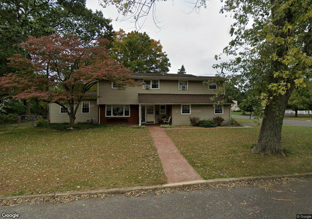
10 Barbara Ln Oakhurst, NJ 07755
Estimated Value: $924,000 - $1,058,000
3
Beds
2
Baths
1,842
Sq Ft
$551/Sq Ft
Est. Value
About This Home
This home is located at 10 Barbara Ln, Oakhurst, NJ 07755 and is currently estimated at $1,014,482, approximately $550 per square foot. 10 Barbara Ln is a home located in Monmouth County with nearby schools including Ocean Township High School, Bet Yaakov of the Jersey Shore, and St. Mary of the Assumption School.
Ownership History
Date
Name
Owned For
Owner Type
Purchase Details
Closed on
Mar 17, 2000
Sold by
Tipping Edward
Bought by
Hicks Matthew and Hicks Pamela
Current Estimated Value
Home Financials for this Owner
Home Financials are based on the most recent Mortgage that was taken out on this home.
Original Mortgage
$144,500
Outstanding Balance
$49,043
Interest Rate
8.31%
Estimated Equity
$965,439
Create a Home Valuation Report for This Property
The Home Valuation Report is an in-depth analysis detailing your home's value as well as a comparison with similar homes in the area
Home Values in the Area
Average Home Value in this Area
Purchase History
| Date | Buyer | Sale Price | Title Company |
|---|---|---|---|
| Hicks Matthew | $154,500 | -- |
Source: Public Records
Mortgage History
| Date | Status | Borrower | Loan Amount |
|---|---|---|---|
| Open | Hicks Matthew | $144,500 |
Source: Public Records
Tax History
| Year | Tax Paid | Tax Assessment Tax Assessment Total Assessment is a certain percentage of the fair market value that is determined by local assessors to be the total taxable value of land and additions on the property. | Land | Improvement |
|---|---|---|---|---|
| 2025 | $12,225 | $919,100 | $721,600 | $197,500 |
| 2024 | $13,026 | $857,300 | $664,300 | $193,000 |
| 2023 | $13,026 | $851,900 | $664,300 | $187,600 |
| 2022 | $9,393 | $642,900 | $464,300 | $178,600 |
| 2021 | $9,393 | $478,000 | $321,000 | $157,000 |
| 2020 | $9,447 | $474,500 | $321,000 | $153,500 |
| 2019 | $8,707 | $427,000 | $281,000 | $146,000 |
| 2018 | $7,438 | $355,200 | $216,000 | $139,200 |
| 2017 | $6,995 | $332,600 | $201,000 | $131,600 |
| 2016 | $8,127 | $347,600 | $201,000 | $146,600 |
| 2015 | $8,169 | $353,800 | $211,000 | $142,800 |
| 2014 | $7,848 | $344,500 | $211,000 | $133,500 |
Source: Public Records
Map
Nearby Homes
- 120 Whalepond Rd
- 96 Whalepond Rd
- 104 Pear St
- 441 Slocum Place
- 432 W Park Ave
- 8 Corey Dr
- 471 W Park Ave
- 46 Whalepond Rd
- 186 Whalepond Rd
- 421 W Lincoln Ave
- 1 Robin Dr
- 489 Freehold St
- 443 Harnell Ave
- 197 Delaware Ave
- 185 Pinecrest Rd
- 187 Pinecrest Rd
- 201 Freehold St
- 450 Wells Ave
- 2 Century Dr
- 185 Elmwood Rd
- 3 Cheryl Dr
- 6 Barbara Ln
- 4 Barbara Ln
- 8 Cheryl Dr
- 6 Cheryl Dr
- 11 Barbara Ln
- 13 Barbara Ln
- 9 Barbara Ln
- 1 Cheryl Dr
- 2 Barbara Ln
- 4 Cheryl Dr
- 3 Barbara Ln
- 18 Barbara Ln
- 5 Barbara Ln
- 6 Calvin Terrace
- 6 Calvin Terrace Unit Winter
- 6 Calvin Terrace Unit Summer
- 2 Cheryl Dr
- 7 Barbara Ln
- 7 Barbara Ln Unit WINTER
Your Personal Tour Guide
Ask me questions while you tour the home.