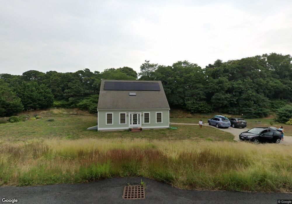
10 Barquentine Ct Eastham, MA 2642
Estimated Value: $908,000 - $2,184,000
4
Beds
3
Baths
1,836
Sq Ft
$698/Sq Ft
Est. Value
About This Home
This home is located at 10 Barquentine Ct, Eastham, MA 2642 and is currently estimated at $1,280,710, approximately $697 per square foot. 10 Barquentine Ct is a home located in Barnstable County with nearby schools including Eastham Elementary School, Nauset Regional Middle School, and Nauset Regional High School.
Ownership History
Date
Name
Owned For
Owner Type
Purchase Details
Closed on
Jun 5, 2023
Sold by
Drabkin Alan and Goldman Rose H
Bought by
10 Barquentine Ct Rt and Drabkin
Current Estimated Value
Purchase Details
Closed on
Feb 14, 2003
Sold by
Weir Rd Rt and Murphy
Bought by
Drabkin Alan and Goldman Rose H
Purchase Details
Closed on
May 27, 1994
Sold by
Nickerson Rlty Corp
Bought by
Canavari Russell L and Canavari Brenda Lee
Home Financials for this Owner
Home Financials are based on the most recent Mortgage that was taken out on this home.
Original Mortgage
$36,675
Interest Rate
8.22%
Mortgage Type
Purchase Money Mortgage
Create a Home Valuation Report for This Property
The Home Valuation Report is an in-depth analysis detailing your home's value as well as a comparison with similar homes in the area
Home Values in the Area
Average Home Value in this Area
Purchase History
| Date | Buyer | Sale Price | Title Company |
|---|---|---|---|
| 10 Barquentine Ct Rt | -- | None Available | |
| Drabkin Alan | $189,000 | -- | |
| Canavari Russell L | $48,900 | -- |
Source: Public Records
Mortgage History
| Date | Status | Borrower | Loan Amount |
|---|---|---|---|
| Previous Owner | Drabkin Alan | $320,000 | |
| Previous Owner | Drabkin Alan | $314,950 | |
| Previous Owner | Canavari Russell L | $36,675 |
Source: Public Records
Tax History Compared to Growth
Tax History
| Year | Tax Paid | Tax Assessment Tax Assessment Total Assessment is a certain percentage of the fair market value that is determined by local assessors to be the total taxable value of land and additions on the property. | Land | Improvement |
|---|---|---|---|---|
| 2025 | $6,173 | $800,700 | $293,000 | $507,700 |
| 2024 | $5,450 | $777,400 | $284,400 | $493,000 |
| 2023 | $5,051 | $697,600 | $263,400 | $434,200 |
| 2022 | $4,722 | $550,300 | $235,200 | $315,100 |
| 2021 | $4,619 | $503,200 | $213,700 | $289,500 |
| 2020 | $4,291 | $492,100 | $218,100 | $274,000 |
| 2019 | $3,967 | $480,800 | $211,800 | $269,000 |
| 2018 | $3,922 | $469,700 | $205,600 | $264,100 |
| 2017 | $3,342 | $423,000 | $161,300 | $261,700 |
| 2016 | $3,433 | $461,400 | $201,600 | $259,800 |
| 2015 | $3,213 | $452,600 | $197,600 | $255,000 |
Source: Public Records
Map
Nearby Homes
- 10 Kellies Path
- 10 Field Rd
- 4 Wood Duck Ln
- 60 Briggs Field Rd
- 45 Cranberry Cir
- 45 Starlight Ln
- 255 Massasoit Rd
- 10 Alston Ct
- 1295 Herring Brook Rd
- 645 Samoset Rd
- 100 Orchard Dr
- 85 Huckleberry Ln
- 35 Old County Rd Unit 1
- 10 Surrey Dr
- 20 Redberry Ln
- 72 Dory Ln
- 70 Deerfield Ln
- 65 Cestaro Way
- 30 Mayflower Rd
- 125 Bay Rd
- 15 Barquentine Ct
- 20 Barquentine Ct
- 5 Barquentine Ct
- 199 Philips Ln
- 162 Philips Ln
- 25 Barquentine Ct
- 290 Weir Rd
- 197 Philips Ln
- 255 Weir Rd
- 5 Lady Slipper Ln
- 160 Philips Ln
- 170 Philips Ln
- 15 Wood Song Dr
- 154 Philips Ln
- 165 Phillips Ln
- 177 Philips Ln
- 300 Weir Rd
- 140 Philips Ln
- 150 Philips Ln
- 10 Lady Slipper Ln