10 Berkeley Ave Nantucket, MA 02554
Estimated Value: $2,037,848 - $2,336,000
3
Beds
3
Baths
1,764
Sq Ft
$1,250/Sq Ft
Est. Value
About This Home
This home is located at 10 Berkeley Ave, Nantucket, MA 02554 and is currently estimated at $2,204,212, approximately $1,249 per square foot. 10 Berkeley Ave is a home located in Nantucket County with nearby schools including Nantucket Elementary School, Cyrus Peirce Middle School, and Nantucket High School.
Ownership History
Date
Name
Owned For
Owner Type
Purchase Details
Closed on
Sep 15, 2017
Sold by
Robbins Kent E and Robbins Anna M
Bought by
Olson Joseph and Clayton-Twombly Frank
Current Estimated Value
Home Financials for this Owner
Home Financials are based on the most recent Mortgage that was taken out on this home.
Original Mortgage
$792,370
Outstanding Balance
$647,819
Interest Rate
3.93%
Mortgage Type
Purchase Money Mortgage
Estimated Equity
$1,556,393
Create a Home Valuation Report for This Property
The Home Valuation Report is an in-depth analysis detailing your home's value as well as a comparison with similar homes in the area
Home Values in the Area
Average Home Value in this Area
Purchase History
| Date | Buyer | Sale Price | Title Company |
|---|---|---|---|
| Olson Joseph | $932,200 | -- |
Source: Public Records
Mortgage History
| Date | Status | Borrower | Loan Amount |
|---|---|---|---|
| Open | Olson Joseph | $792,370 |
Source: Public Records
Tax History
| Year | Tax Paid | Tax Assessment Tax Assessment Total Assessment is a certain percentage of the fair market value that is determined by local assessors to be the total taxable value of land and additions on the property. | Land | Improvement |
|---|---|---|---|---|
| 2025 | $4,229 | $1,289,200 | $637,500 | $651,700 |
| 2024 | $4,006 | $1,280,000 | $637,500 | $642,500 |
| 2023 | $3,473 | $1,081,800 | $607,300 | $474,500 |
| 2022 | $3,218 | $860,300 | $506,100 | $354,200 |
| 2021 | $3,119 | $859,100 | $506,100 | $353,000 |
| 2020 | $3,028 | $877,600 | $506,100 | $371,500 |
| 2019 | $2,794 | $831,600 | $460,100 | $371,500 |
| 2018 | $2,697 | $764,000 | $460,100 | $303,900 |
| 2017 | $2,343 | $691,200 | $395,600 | $295,600 |
| 2016 | $2,263 | $673,600 | $386,400 | $287,200 |
| 2015 | $2,237 | $619,700 | $357,700 | $262,000 |
| 2014 | $2,330 | $619,700 | $357,700 | $262,000 |
Source: Public Records
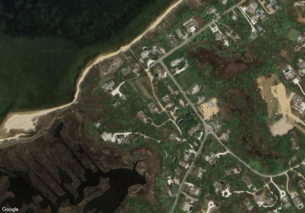
Map
Nearby Homes
- 16 H Milestone Rd Unit 8 - Dionis
- 4 Cathcart Rd
- 163 Orange St
- 2 Mariner Way
- 6 Mariner Way
- 54 Union St
- 85 Orange St
- 10 York St
- 32 Union St
- 2 Silver St
- 2B Forest Ave Unit 6
- 2B Forest Ave Unit 2
- 52 Pleasant St
- 6 Eagle Ln
- 2A Forest Ave Unit 5
- 2A Forest Ave Unit 1
- 13 Fawn Ln
- 47 Fair St
- 4 Fawn Ln
- 27 Fairgrounds Rd
- 10 Berkeley Ave
- 6 Berkeley Ave
- 44 Monomoy Rd
- 46 Monomoy Rd
- 6 Monomoy Creek Rd
- 42 Monomoy Rd
- 4 Berkeley Ave
- 4 Berkeley Ave
- 8 Monomoy Creek Rd
- 17 Berkeley Ave
- 10 Monomoy Creek Rd
- 10 Monomoy Creek Rd
- 21 Berkeley Ave
- 21 Berkeley Ave
- 45 Monomoy Rd
- 45 Monomoy Rd
- 12 Monomoy Creek Rd
- 47 Monomoy Rd
- 48 Monomoy Rd
- 38 Monomoy Rd
Your Personal Tour Guide
Ask me questions while you tour the home.