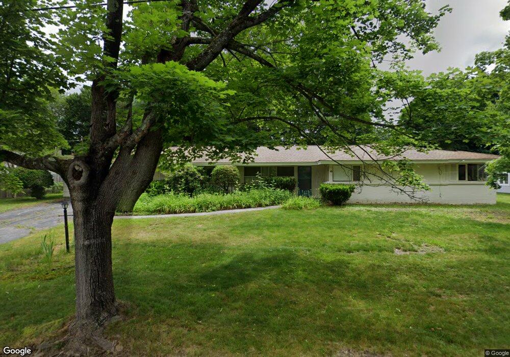
10 Birchwood Rd Worcester, MA 01609
Forest Grove NeighborhoodEstimated Value: $527,008 - $627,000
3
Beds
3
Baths
1,920
Sq Ft
$299/Sq Ft
Est. Value
About This Home
This home is located at 10 Birchwood Rd, Worcester, MA 01609 and is currently estimated at $573,252, approximately $298 per square foot. 10 Birchwood Rd is a home located in Worcester County with nearby schools including Chandler Magnet, Jacob Hiatt Magnet School, and Flagg Street School.
Ownership History
Date
Name
Owned For
Owner Type
Purchase Details
Closed on
Nov 10, 2014
Sold by
Gordon Clifford L and Gordon Linda S
Bought by
Clifford L Gordon Ft and Gordon Adam
Current Estimated Value
Create a Home Valuation Report for This Property
The Home Valuation Report is an in-depth analysis detailing your home's value as well as a comparison with similar homes in the area
Home Values in the Area
Average Home Value in this Area
Purchase History
We collect this data history from publicly available records. To have your information removed, we recommend requesting removal directly through your county’s website.
| Date | Buyer | Sale Price | Title Company |
|---|---|---|---|
| Clifford L Gordon Ft | -- | -- |
Source: Public Records
Tax History
| Year | Tax Paid | Tax Assessment Tax Assessment Total Assessment is a certain percentage of the fair market value that is determined by local assessors to be the total taxable value of land and additions on the property. | Land | Improvement |
|---|---|---|---|---|
| 2025 | $5,773 | $437,700 | $123,900 | $313,800 |
| 2024 | $5,638 | $410,000 | $123,900 | $286,100 |
| 2023 | $5,454 | $380,300 | $106,600 | $273,700 |
| 2022 | $4,852 | $319,000 | $85,300 | $233,700 |
| 2021 | $4,970 | $305,300 | $68,300 | $237,000 |
| 2020 | $4,750 | $279,400 | $68,100 | $211,300 |
| 2019 | $4,545 | $252,500 | $65,800 | $186,700 |
| 2018 | $4,398 | $232,600 | $65,800 | $166,800 |
| 2017 | $4,471 | $232,600 | $65,800 | $166,800 |
| 2016 | $4,540 | $220,300 | $54,600 | $165,700 |
| 2015 | $4,421 | $220,300 | $54,600 | $165,700 |
| 2014 | $4,688 | $239,900 | $54,600 | $185,300 |
Source: Public Records
Map
Nearby Homes
- 770 Salisbury St Unit 424
- 3901 Knightsbridge Close Unit 3901
- 7 Primmett Ln
- 3 Summerland Way Unit 3
- 6 Barrows Rd
- 26 Whisper Dr
- 11 Tattan Farm Rd
- 7 Tideswell Ln Unit 7
- 7 Albemarle St
- 21 Salisbury Hill Blvd
- 97 Parkton Ave
- 3 Old Brook Dr
- 531 Salisbury St
- 61 Nelson Place
- 306 Fisher Rd
- 35 Hickory Dr
- 38 Hapgood Rd
- 20 Westwood Dr
- 437 Salisbury St
- 577 Grove St
Your Personal Tour Guide
Ask me questions while you tour the home.