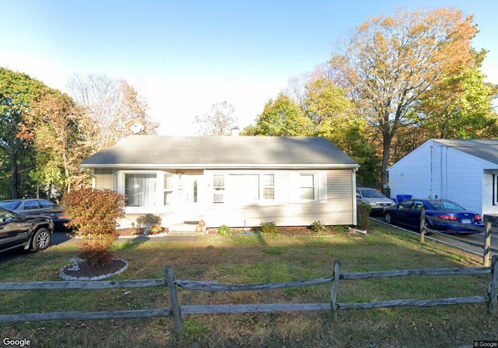
10 Briarwood Dr Danbury, CT 06810
Estimated Value: $394,000 - $465,000
3
Beds
2
Baths
956
Sq Ft
$451/Sq Ft
Est. Value
About This Home
This home is located at 10 Briarwood Dr, Danbury, CT 06810 and is currently estimated at $431,542, approximately $451 per square foot. 10 Briarwood Dr is a home located in Fairfield County with nearby schools including Shelter Rock School, Rogers Park Middle School, and Danbury High School.
Ownership History
Date
Name
Owned For
Owner Type
Purchase Details
Closed on
Dec 3, 2007
Sold by
Walther Axel
Bought by
Henao Patricia
Current Estimated Value
Home Financials for this Owner
Home Financials are based on the most recent Mortgage that was taken out on this home.
Original Mortgage
$218,500
Outstanding Balance
$132,816
Interest Rate
6.48%
Estimated Equity
$298,726
Purchase Details
Closed on
Apr 1, 2005
Sold by
Azevedo Teresa
Bought by
Walther Axel
Home Financials for this Owner
Home Financials are based on the most recent Mortgage that was taken out on this home.
Original Mortgage
$227,200
Interest Rate
5.61%
Create a Home Valuation Report for This Property
The Home Valuation Report is an in-depth analysis detailing your home's value as well as a comparison with similar homes in the area
Home Values in the Area
Average Home Value in this Area
Purchase History
| Date | Buyer | Sale Price | Title Company |
|---|---|---|---|
| Henao Patricia | $90,000 | -- | |
| Walther Axel | $284,000 | -- |
Source: Public Records
Mortgage History
| Date | Status | Borrower | Loan Amount |
|---|---|---|---|
| Open | Walther Axel | $218,500 | |
| Previous Owner | Walther Axel | $227,200 |
Source: Public Records
Tax History Compared to Growth
Tax History
| Year | Tax Paid | Tax Assessment Tax Assessment Total Assessment is a certain percentage of the fair market value that is determined by local assessors to be the total taxable value of land and additions on the property. | Land | Improvement |
|---|---|---|---|---|
| 2025 | $4,912 | $196,560 | $60,200 | $136,360 |
| 2024 | $4,804 | $196,560 | $60,200 | $136,360 |
| 2023 | $4,586 | $196,560 | $60,200 | $136,360 |
| 2022 | $3,900 | $138,200 | $63,400 | $74,800 |
| 2021 | $3,814 | $138,200 | $63,400 | $74,800 |
| 2020 | $3,814 | $138,200 | $63,400 | $74,800 |
| 2019 | $3,814 | $138,200 | $63,400 | $74,800 |
| 2018 | $3,814 | $138,200 | $63,400 | $74,800 |
| 2017 | $3,653 | $126,200 | $60,300 | $65,900 |
| 2016 | $3,619 | $126,200 | $60,300 | $65,900 |
| 2015 | $3,566 | $126,200 | $60,300 | $65,900 |
| 2014 | $3,483 | $126,200 | $60,300 | $65,900 |
Source: Public Records
Map
Nearby Homes
- 8 Briarwood Dr
- 35 Briarwood Dr
- 55 Cross St Unit B6
- 156 Triangle St
- 92 Woodcrest Ln
- 25 Topstone Dr
- 127 Triangle St
- 1 Beaver Brook Rd Unit 37
- 51 Wildman St Unit 407
- 23 Westview Dr
- 1 Skyline Dr
- 5 Woodside Ave Unit 41
- 18 Meadow St
- 20 Meadow St
- 2 Garry Knolls
- 37 Faith Ln Unit 37
- 32 Crows Nest Ln Unit 23
- 16 Springside Ave
- 34 Morgan Ave
- 25 E Cross Trail Unit 25