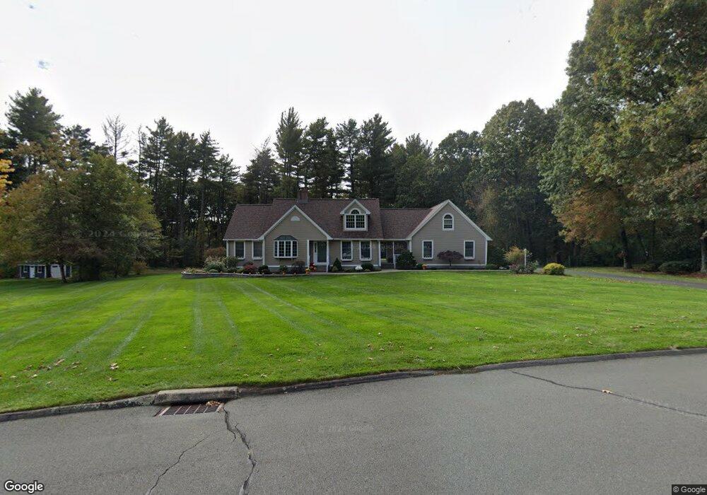
10 Brockway Rd Ellington, CT 06029
Estimated Value: $634,000 - $728,000
4
Beds
3
Baths
2,562
Sq Ft
$262/Sq Ft
Est. Value
About This Home
This home is located at 10 Brockway Rd, Ellington, CT 06029 and is currently estimated at $670,289, approximately $261 per square foot. 10 Brockway Rd is a home located in Tolland County with nearby schools including Ellington High School.
Ownership History
Date
Name
Owned For
Owner Type
Purchase Details
Closed on
Jan 31, 2008
Sold by
Arnone Leo and Arnone Linda
Bought by
Sisco Brian and Sisco Brenda
Current Estimated Value
Home Financials for this Owner
Home Financials are based on the most recent Mortgage that was taken out on this home.
Original Mortgage
$360,000
Interest Rate
6.18%
Purchase Details
Closed on
Mar 29, 1993
Sold by
Luginbuhl Scott
Bought by
Arnone Leo and Arnone Linda
Create a Home Valuation Report for This Property
The Home Valuation Report is an in-depth analysis detailing your home's value as well as a comparison with similar homes in the area
Home Values in the Area
Average Home Value in this Area
Purchase History
| Date | Buyer | Sale Price | Title Company |
|---|---|---|---|
| Sisco Brian | $460,000 | -- | |
| Arnone Leo | $81,000 | -- |
Source: Public Records
Mortgage History
| Date | Status | Borrower | Loan Amount |
|---|---|---|---|
| Open | Arnone Leo | $52,500 | |
| Open | Arnone Leo | $346,000 | |
| Closed | Arnone Leo | $360,000 |
Source: Public Records
Tax History Compared to Growth
Tax History
| Year | Tax Paid | Tax Assessment Tax Assessment Total Assessment is a certain percentage of the fair market value that is determined by local assessors to be the total taxable value of land and additions on the property. | Land | Improvement |
|---|---|---|---|---|
| 2025 | $10,087 | $271,890 | $65,550 | $206,340 |
| 2024 | $9,788 | $271,890 | $65,550 | $206,340 |
| 2023 | $9,326 | $271,890 | $65,550 | $206,340 |
| 2022 | $8,836 | $271,890 | $65,550 | $206,340 |
| 2021 | $8,592 | $271,890 | $65,550 | $206,340 |
| 2020 | $9,797 | $300,530 | $66,600 | $233,930 |
| 2019 | $9,797 | $300,530 | $66,600 | $233,930 |
| 2016 | $8,723 | $285,990 | $66,600 | $219,390 |
| 2015 | $8,882 | $291,220 | $66,600 | $224,620 |
| 2014 | $8,358 | $291,220 | $66,600 | $224,620 |
Source: Public Records
Map
Nearby Homes