10 Brookside St Jamestown, OH 45335
Estimated Value: $148,000 - $226,000
3
Beds
2
Baths
1,226
Sq Ft
$156/Sq Ft
Est. Value
About This Home
This home is located at 10 Brookside St, Jamestown, OH 45335 and is currently estimated at $191,305, approximately $156 per square foot. 10 Brookside St is a home located in Greene County with nearby schools including Greeneview Elementary School, Greeneview Middle School, and Greeneview High School.
Ownership History
Date
Name
Owned For
Owner Type
Purchase Details
Closed on
Sep 13, 2018
Sold by
Louderback Phyllis M
Bought by
Louderback Roger P
Current Estimated Value
Purchase Details
Closed on
Jul 18, 2013
Sold by
Vantress E and Vantress Penny L
Bought by
Louderback Roger P and Louderback Phyllis M
Home Financials for this Owner
Home Financials are based on the most recent Mortgage that was taken out on this home.
Original Mortgage
$72,206
Outstanding Balance
$52,726
Interest Rate
4.02%
Mortgage Type
VA
Estimated Equity
$138,579
Purchase Details
Closed on
Dec 2, 2011
Sold by
Pnc Bank National Association
Bought by
Vantress Thirl E and Vantress Penny L
Home Financials for this Owner
Home Financials are based on the most recent Mortgage that was taken out on this home.
Original Mortgage
$32,500
Interest Rate
4.11%
Mortgage Type
New Conventional
Purchase Details
Closed on
Sep 27, 2011
Sold by
Lawson Leigh D and Lawson Kenneth
Bought by
Pnc Bank National Association
Purchase Details
Closed on
Dec 3, 2005
Sold by
Edwards William T and Edwards Christina M
Bought by
Lawson Leigh D
Home Financials for this Owner
Home Financials are based on the most recent Mortgage that was taken out on this home.
Original Mortgage
$81,600
Interest Rate
6.87%
Mortgage Type
Fannie Mae Freddie Mac
Purchase Details
Closed on
Mar 7, 2003
Sold by
Miller Jared L and Miller Erin C
Bought by
Edwards William T and Edwards Christina M
Home Financials for this Owner
Home Financials are based on the most recent Mortgage that was taken out on this home.
Original Mortgage
$97,000
Interest Rate
6%
Purchase Details
Closed on
Jul 11, 2001
Sold by
Pauley Nicholas D
Bought by
Miller Jared L and Miller Erin C
Home Financials for this Owner
Home Financials are based on the most recent Mortgage that was taken out on this home.
Original Mortgage
$11,934
Interest Rate
7.27%
Purchase Details
Closed on
Aug 30, 1999
Sold by
Bates Matthew J and Bates Karla N
Bought by
Pauley Nicholas D
Home Financials for this Owner
Home Financials are based on the most recent Mortgage that was taken out on this home.
Original Mortgage
$8,075
Interest Rate
7.59%
Mortgage Type
Assumption
Create a Home Valuation Report for This Property
The Home Valuation Report is an in-depth analysis detailing your home's value as well as a comparison with similar homes in the area
Home Values in the Area
Average Home Value in this Area
Purchase History
| Date | Buyer | Sale Price | Title Company |
|---|---|---|---|
| Louderback Roger P | -- | None Available | |
| Louderback Roger P | $69,900 | None Available | |
| Vantress Thirl E | $65,000 | Omega Title Agency Llc | |
| Pnc Bank National Association | $64,000 | None Available | |
| Lawson Leigh D | $102,000 | -- | |
| Edwards William T | $94,000 | -- | |
| Miller Jared L | $86,300 | -- | |
| Pauley Nicholas D | $65,000 | -- |
Source: Public Records
Mortgage History
| Date | Status | Borrower | Loan Amount |
|---|---|---|---|
| Open | Louderback Roger P | $72,206 | |
| Previous Owner | Vantress Thirl E | $32,500 | |
| Previous Owner | Lawson Leigh D | $81,600 | |
| Previous Owner | Edwards William T | $97,000 | |
| Previous Owner | Miller Jared L | $11,934 | |
| Previous Owner | Pauley Nicholas D | $8,075 |
Source: Public Records
Tax History Compared to Growth
Tax History
| Year | Tax Paid | Tax Assessment Tax Assessment Total Assessment is a certain percentage of the fair market value that is determined by local assessors to be the total taxable value of land and additions on the property. | Land | Improvement |
|---|---|---|---|---|
| 2024 | $1,991 | $41,270 | $3,490 | $37,780 |
| 2023 | $1,991 | $41,270 | $3,490 | $37,780 |
| 2022 | $1,719 | $30,360 | $3,490 | $26,870 |
| 2021 | $1,732 | $30,360 | $3,490 | $26,870 |
| 2020 | $1,605 | $30,360 | $3,490 | $26,870 |
| 2019 | $1,547 | $28,240 | $3,490 | $24,750 |
| 2018 | $1,516 | $28,240 | $3,490 | $24,750 |
| 2017 | $1,492 | $28,240 | $3,490 | $24,750 |
| 2016 | $1,493 | $28,380 | $3,490 | $24,890 |
| 2015 | $1,459 | $28,380 | $3,490 | $24,890 |
| 2014 | $1,381 | $28,380 | $3,490 | $24,890 |
Source: Public Records
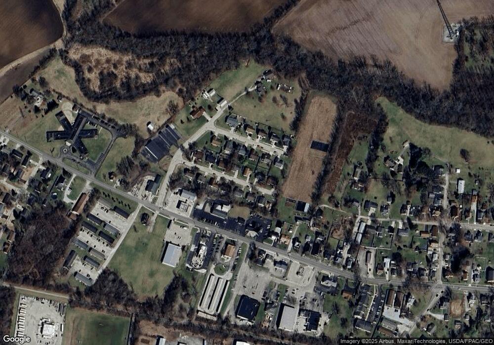
Map
Nearby Homes
- 14 Brookside St
- 3 Brookside St
- 56 W Xenia St
- 21 S Buckles Ave
- 8 Maplewood Dr
- 4620 82 1/2 x 161 Nelson St
- 26 S Limestone St
- 21 E Xenia St
- 280 S Charleston Rd
- 4737 Cottonville Rd
- 55 E Xenia St
- 204 Ivy Creek Cove
- 0 Brickel Rd Unit 1850484
- 12.139ac Cherry Grove Rd
- 0 Apache Trail Unit 941961
- 4270 Shawnee Trail
- 5852 Old Us Route 35 E
- 4208 Shawnee Trail
- 4184 Shawnee Trail
- 643 Brickel Rd
- 8 Brookside St
- 12 Brookside St
- 7 Creekside St
- 9 Creekside St
- 9 Brookside St
- 6 Brookside St
- 11 Brookside St
- 7 Brookside St
- 3 Creekside St
- 11 Creekside St
- 13 Brookside St
- 5 Brookside St
- 4 Brookside St
- 6 Creekside St
- 4 Creekside St
- 8 Creekside St
- 1 Creekside St
- 10 Creekside St
- 2 Creekside St
- 2 Brookside St