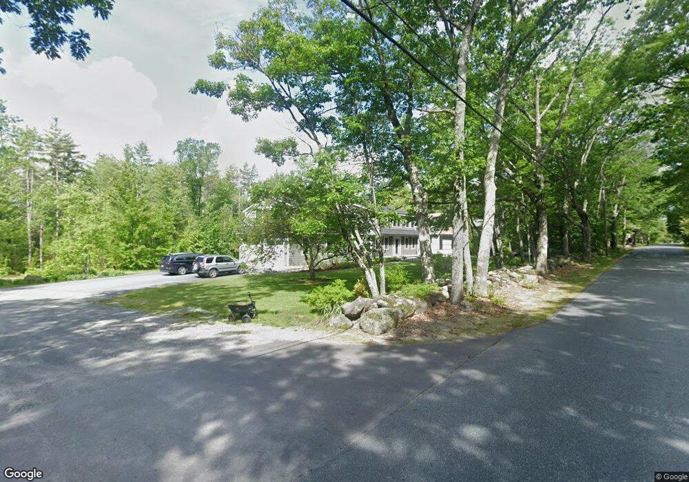
10 Buker Way New London, NH 03257
Estimated Value: $866,000 - $1,099,000
4
Beds
3
Baths
4,330
Sq Ft
$218/Sq Ft
Est. Value
About This Home
This home is located at 10 Buker Way, New London, NH 03257 and is currently estimated at $944,764, approximately $218 per square foot. 10 Buker Way is a home located in Merrimack County with nearby schools including Kearsarge Elementary School - New London, Kearsarge Regional Middle School, and Kearsarge Regional High School.
Ownership History
Date
Name
Owned For
Owner Type
Purchase Details
Closed on
May 2, 2006
Sold by
Timbrell Stefan H and Timbrell Lisa E
Bought by
Bemis Matthew B and Bemis Kathryn H
Current Estimated Value
Home Financials for this Owner
Home Financials are based on the most recent Mortgage that was taken out on this home.
Original Mortgage
$300,000
Outstanding Balance
$79,822
Interest Rate
6.4%
Estimated Equity
$864,942
Create a Home Valuation Report for This Property
The Home Valuation Report is an in-depth analysis detailing your home's value as well as a comparison with similar homes in the area
Home Values in the Area
Average Home Value in this Area
Purchase History
| Date | Buyer | Sale Price | Title Company |
|---|---|---|---|
| Bemis Matthew B | $425,000 | -- | |
| Bemis Kathryn H | $425,000 | -- |
Source: Public Records
Mortgage History
| Date | Status | Borrower | Loan Amount |
|---|---|---|---|
| Open | Bemis Kathryn H | $300,000 | |
| Closed | Bemis Matthew B | $300,000 |
Source: Public Records
Tax History Compared to Growth
Tax History
| Year | Tax Paid | Tax Assessment Tax Assessment Total Assessment is a certain percentage of the fair market value that is determined by local assessors to be the total taxable value of land and additions on the property. | Land | Improvement |
|---|---|---|---|---|
| 2024 | $8,723 | $751,300 | $190,400 | $560,900 |
| 2023 | $8,122 | $751,300 | $190,400 | $560,900 |
| 2022 | $8,044 | $507,200 | $99,900 | $407,300 |
| 2021 | $7,727 | $502,100 | $99,900 | $402,200 |
| 2020 | $6,583 | $440,600 | $99,900 | $340,700 |
| 2019 | $4,978 | $338,400 | $99,900 | $238,500 |
| 2018 | $4,636 | $335,100 | $107,800 | $227,300 |
| 2017 | $4,725 | $324,600 | $107,800 | $216,800 |
| 2016 | $4,624 | $324,600 | $107,800 | $216,800 |
| 2015 | $5,015 | $324,600 | $107,800 | $216,800 |
| 2014 | $4,970 | $324,600 | $107,800 | $216,800 |
| 2013 | $5,033 | $334,400 | $107,800 | $226,600 |
Source: Public Records
Map
Nearby Homes
- 155 Wilder Ln
- 0 Fairway Ln Unit 8
- 000 Shaker Rd Unit 288
- 295 Andover Rd
- 385 Seamans Rd
- 58 Kearsarge Rd
- 24 Mountain Overlook
- 158 Quail Run
- 0 Quiet Cove Way Unit 5
- 27 Pipers Glen
- 00 Mountainside Dr Unit 183
- 555 Shaker Rd
- 65 Barrett Rd
- 0 Summit Rd Unit 431
- Lot 8 Stone Bridge Rd
- 712 Sugarhouse Rd
- 0 Newport Rd Unit 10
- 106-23 Fieldstone Ln
- Lot 16 Granite Hill Rd
- 0 Howe Rd Unit 4996459