10 Burt Rd Westhampton, MA 01027
Estimated Value: $276,000 - $526,000
3
Beds
2
Baths
1,863
Sq Ft
$219/Sq Ft
Est. Value
About This Home
This home is located at 10 Burt Rd, Westhampton, MA 01027 and is currently estimated at $407,432, approximately $218 per square foot. 10 Burt Rd is a home located in Hampshire County with nearby schools including Hampshire Regional High School.
Ownership History
Date
Name
Owned For
Owner Type
Purchase Details
Closed on
Dec 16, 2013
Sold by
Norris Charles P and Norris Linda M
Bought by
Norris Charles P and Norris Christopher W
Current Estimated Value
Home Financials for this Owner
Home Financials are based on the most recent Mortgage that was taken out on this home.
Original Mortgage
$1
Outstanding Balance
$1
Interest Rate
4.14%
Create a Home Valuation Report for This Property
The Home Valuation Report is an in-depth analysis detailing your home's value as well as a comparison with similar homes in the area
Home Values in the Area
Average Home Value in this Area
Purchase History
We collect this data history from publicly available records. To have your information removed, we recommend requesting removal directly through your county’s website.
| Date | Buyer | Sale Price | Title Company |
|---|---|---|---|
| Norris Charles P | -- | -- |
Source: Public Records
Mortgage History
We collect this data history from publicly available records. To have your information removed, we recommend requesting removal directly through your county’s website.
| Date | Status | Borrower | Loan Amount |
|---|---|---|---|
| Open | Norris Charles P | $1 | |
| Closed | Norris Charles P | $0 |
Source: Public Records
Tax History
| Year | Tax Paid | Tax Assessment Tax Assessment Total Assessment is a certain percentage of the fair market value that is determined by local assessors to be the total taxable value of land and additions on the property. | Land | Improvement |
|---|---|---|---|---|
| 2025 | $5,796 | $278,800 | $76,600 | $202,200 |
| 2024 | $5,768 | $278,800 | $76,600 | $202,200 |
| 2023 | $5,616 | $279,000 | $76,600 | $202,400 |
| 2022 | $5,422 | $264,600 | $76,600 | $188,000 |
| 2021 | $5,271 | $255,400 | $76,600 | $178,800 |
| 2020 | $5,328 | $262,200 | $76,600 | $185,600 |
| 2019 | $5,046 | $248,700 | $76,600 | $172,100 |
| 2018 | $4,467 | $229,900 | $76,600 | $153,300 |
| 2017 | $4,366 | $226,100 | $76,600 | $149,500 |
| 2016 | $3,956 | $209,300 | $76,600 | $132,700 |
| 2015 | $3,705 | $203,000 | $76,600 | $126,400 |
Source: Public Records
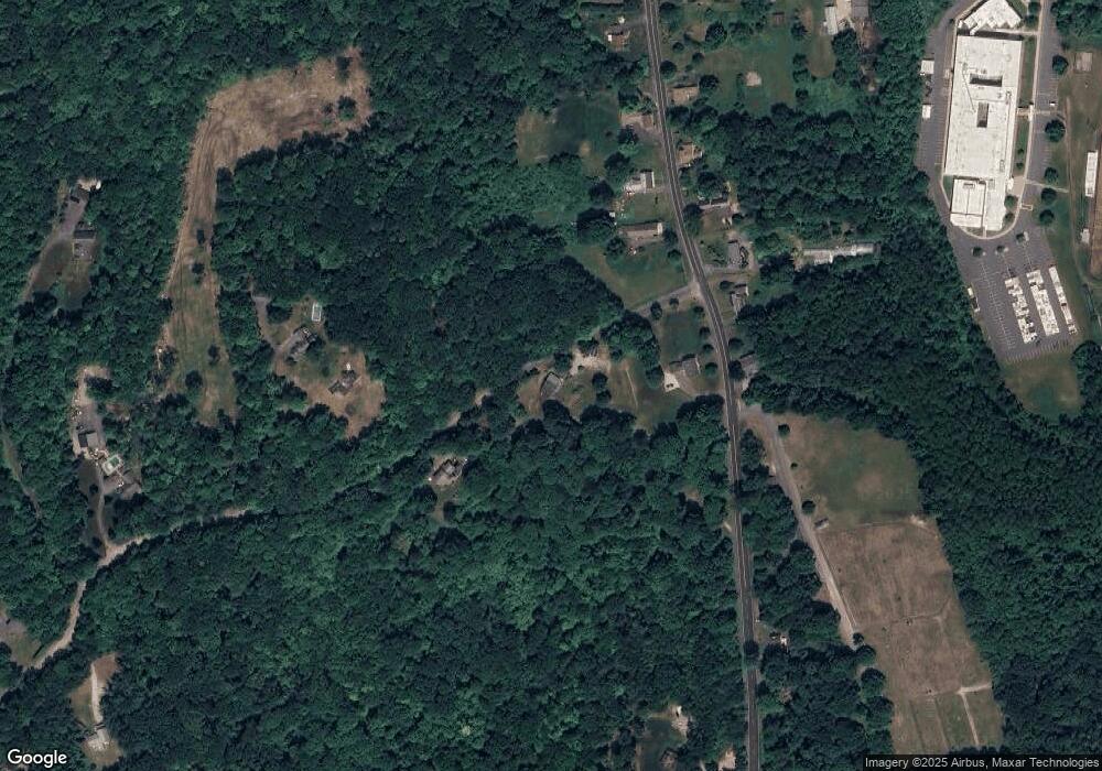
Map
Nearby Homes
- 41 Edwards Rd
- 0 Westhampton Rd Unit 73526722
- 71 Mine Rd
- 6 Blueberry Ln
- 329 Southampton Rd
- 75 Lead Mine Rd
- 1024 Westhampton Rd
- 0 W Farms Rd
- 20-11 Sylvester Rd
- 36 Torrey St
- 1 Searle Rd
- 312 Fomer Rd
- 296 Northwest Rd
- 5 Torrey St
- 792 Ryan Rd
- 130 Crooked Ledge Rd
- 0 Glendale Rd
- 7 Quigley Rd
- 16 Steplar Crossing Unit 16
- 723 Lot B Ryan Rd
Your Personal Tour Guide
Ask me questions while you tour the home.