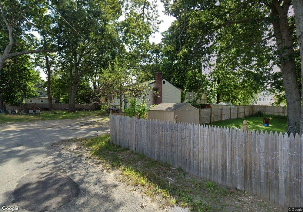
10 Burton Place Brockton, MA 02302
Campello NeighborhoodEstimated Value: $493,000 - $573,000
3
Beds
2
Baths
1,596
Sq Ft
$333/Sq Ft
Est. Value
About This Home
This home is located at 10 Burton Place, Brockton, MA 02302 and is currently estimated at $531,276, approximately $332 per square foot. 10 Burton Place is a home located in Plymouth County with nearby schools including Davis K-8 School, John F. Kennedy Elementary School, and South Middle School.
Ownership History
Date
Name
Owned For
Owner Type
Purchase Details
Closed on
Jun 8, 1993
Sold by
Metropolitan Life Ins
Bought by
Maldonado Gilberto and Maldonado Joanne
Current Estimated Value
Purchase Details
Closed on
Jan 6, 1992
Sold by
Hackett Joan S
Bought by
Metro Life Ins Co
Purchase Details
Closed on
May 20, 1988
Sold by
Gerstel Donna L
Bought by
Hackett Joan S
Create a Home Valuation Report for This Property
The Home Valuation Report is an in-depth analysis detailing your home's value as well as a comparison with similar homes in the area
Home Values in the Area
Average Home Value in this Area
Purchase History
| Date | Buyer | Sale Price | Title Company |
|---|---|---|---|
| Maldonado Gilberto | $86,500 | -- | |
| Metro Life Ins Co | $105,000 | -- | |
| Hackett Joan S | $145,900 | -- |
Source: Public Records
Mortgage History
| Date | Status | Borrower | Loan Amount |
|---|---|---|---|
| Open | Hackett Joan S | $213,500 | |
| Closed | Hackett Joan S | $175,000 | |
| Closed | Hackett Joan S | $148,000 |
Source: Public Records
Tax History Compared to Growth
Tax History
| Year | Tax Paid | Tax Assessment Tax Assessment Total Assessment is a certain percentage of the fair market value that is determined by local assessors to be the total taxable value of land and additions on the property. | Land | Improvement |
|---|---|---|---|---|
| 2025 | $5,923 | $489,100 | $156,700 | $332,400 |
| 2024 | $5,634 | $468,700 | $156,700 | $312,000 |
| 2023 | $5,449 | $419,800 | $106,900 | $312,900 |
| 2022 | $4,902 | $350,900 | $97,100 | $253,800 |
| 2021 | $4,800 | $331,000 | $89,100 | $241,900 |
| 2020 | $4,698 | $310,100 | $78,600 | $231,500 |
| 2019 | $4,274 | $275,000 | $74,600 | $200,400 |
| 2018 | $4,158 | $258,900 | $74,600 | $184,300 |
| 2017 | $3,806 | $236,400 | $74,600 | $161,800 |
| 2016 | $3,732 | $215,000 | $71,200 | $143,800 |
| 2015 | $3,536 | $194,800 | $71,200 | $123,600 |
| 2014 | $3,323 | $183,300 | $71,200 | $112,100 |
Source: Public Records
Map
Nearby Homes
- 63 Brentwood Ave
- 152 Riverview St
- 156 Riverview St
- 55 Brentwood Ave
- 164 Riverview St
- 39 Beach St
- 43 Beach St
- 134 Riverview St
- 86 Snell Ave
- 75 Brentwood Ave
- 130 Riverview St
- 49 Beach St
- 128 Riverview St
- 79 Brentwood Ave
- 170 Riverview St
- 60 Brentwood Ave
- 60 Brentwood Ave Unit 1
- 68 Brentwood Ave
- 52 Brentwood Ave
- 76 Brentwood Ave