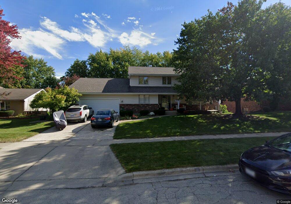
10 Cari Ct Dekalb, IL 60115
Estimated Value: $331,587 - $406,000
Studio
--
Bath
--
Sq Ft
13,504
Sq Ft Lot
About This Home
This home is located at 10 Cari Ct, Dekalb, IL 60115 and is currently estimated at $376,147. 10 Cari Ct is a home located in DeKalb County with nearby schools including Gwendolyn Brooks Elementary School, Clinton Rosette Middle School, and De Kalb High School.
Ownership History
Date
Name
Owned For
Owner Type
Purchase Details
Closed on
Jan 10, 2022
Sold by
Bathje Mary E
Bought by
Bathje Mary E and Vance Kathy
Current Estimated Value
Home Financials for this Owner
Home Financials are based on the most recent Mortgage that was taken out on this home.
Original Mortgage
$190,000
Outstanding Balance
$175,109
Interest Rate
3.11%
Mortgage Type
New Conventional
Estimated Equity
$201,038
Create a Home Valuation Report for This Property
The Home Valuation Report is an in-depth analysis detailing your home's value as well as a comparison with similar homes in the area
Home Values in the Area
Average Home Value in this Area
Purchase History
| Date | Buyer | Sale Price | Title Company |
|---|---|---|---|
| Bathje Mary E | -- | Citywide Title |
Source: Public Records
Mortgage History
| Date | Status | Borrower | Loan Amount |
|---|---|---|---|
| Open | Bathje Mary E | $190,000 |
Source: Public Records
Tax History
| Year | Tax Paid | Tax Assessment Tax Assessment Total Assessment is a certain percentage of the fair market value that is determined by local assessors to be the total taxable value of land and additions on the property. | Land | Improvement |
|---|---|---|---|---|
| 2024 | $4,828 | $102,893 | $20,329 | $82,564 |
| 2023 | $5,183 | $89,714 | $17,725 | $71,989 |
| 2022 | $5,183 | $81,908 | $20,229 | $61,679 |
| 2021 | $5,676 | $76,822 | $18,973 | $57,849 |
| 2020 | $5,898 | $75,598 | $18,671 | $56,927 |
| 2019 | $6,019 | $72,627 | $17,937 | $54,690 |
| 2018 | $6,083 | $70,164 | $17,329 | $52,835 |
| 2017 | $6,389 | $67,446 | $16,658 | $50,788 |
| 2016 | $6,482 | $65,743 | $16,237 | $49,506 |
| 2015 | -- | $62,292 | $15,385 | $46,907 |
| 2014 | -- | $64,121 | $22,262 | $41,859 |
| 2013 | -- | $67,354 | $23,384 | $43,970 |
Source: Public Records
Map
Nearby Homes
- 2 Golfview Place
- 301 River Dr
- TBD Greenwood Acres Dr
- 2708 Greenwood Acres Dr
- 3051 Fairway Oaks Dr
- 3160 Covered Bridge Ln
- 1707 Judy Ln
- 295 Larking Ave
- 181 Tilton Park Dr
- 1752 Tallmeadow Dr
- 102 Quinlan Ave
- 368 Kingsbury Dr
- 151 Quinlan Ave
- 1306 N 1st St
- 3428 Comstock Ave
- 3431 Comstock Ave
- 582 W Dresser Rd
- 2639 Lilac Ln
- 512 Quinlan Ave
- 487 Quinlan Ave
Your Personal Tour Guide
Ask me questions while you tour the home.