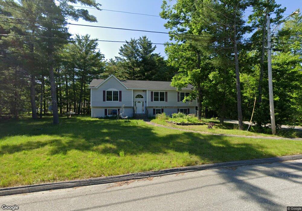
10 Carroll Ct Brewer, ME 04412
Estimated Value: $368,000 - $451,760
3
Beds
2
Baths
2,328
Sq Ft
$170/Sq Ft
Est. Value
About This Home
This home is located at 10 Carroll Ct, Brewer, ME 04412 and is currently estimated at $395,440, approximately $169 per square foot. 10 Carroll Ct is a home located in Penobscot County with nearby schools including Brewer Community School, Brewer High School, and Calvary Chapel Christian School.
Ownership History
Date
Name
Owned For
Owner Type
Purchase Details
Closed on
Jul 15, 2008
Sold by
Buck Sally A
Bought by
Bailey Adam J and Bailey Decha L
Current Estimated Value
Home Financials for this Owner
Home Financials are based on the most recent Mortgage that was taken out on this home.
Original Mortgage
$194,000
Interest Rate
6.13%
Mortgage Type
Unknown
Purchase Details
Closed on
Dec 12, 2006
Sold by
Buck Richard L
Bought by
Buck Sally A
Home Financials for this Owner
Home Financials are based on the most recent Mortgage that was taken out on this home.
Original Mortgage
$100,000
Interest Rate
6.4%
Mortgage Type
Purchase Money Mortgage
Create a Home Valuation Report for This Property
The Home Valuation Report is an in-depth analysis detailing your home's value as well as a comparison with similar homes in the area
Home Values in the Area
Average Home Value in this Area
Purchase History
| Date | Buyer | Sale Price | Title Company |
|---|---|---|---|
| Bailey Adam J | -- | -- | |
| Buck Sally A | -- | -- |
Source: Public Records
Mortgage History
| Date | Status | Borrower | Loan Amount |
|---|---|---|---|
| Open | Bailey Adam J | $193,000 | |
| Closed | Bailey Adam J | $194,000 | |
| Previous Owner | Buck Sally A | $100,000 |
Source: Public Records
Tax History Compared to Growth
Tax History
| Year | Tax Paid | Tax Assessment Tax Assessment Total Assessment is a certain percentage of the fair market value that is determined by local assessors to be the total taxable value of land and additions on the property. | Land | Improvement |
|---|---|---|---|---|
| 2024 | $5,766 | $306,700 | $46,500 | $260,200 |
| 2023 | $5,584 | $277,800 | $44,700 | $233,100 |
| 2021 | $5,381 | $241,300 | $42,900 | $198,400 |
| 2020 | $1,820 | $240,200 | $42,900 | $197,300 |
| 2019 | $1,652 | $240,200 | $42,900 | $197,300 |
| 2018 | $1,656 | $223,100 | $42,900 | $180,200 |
| 2017 | $5,020 | $223,100 | $42,900 | $180,200 |
| 2016 | $4,801 | $223,100 | $42,900 | $180,200 |
| 2015 | $11,852 | $223,100 | $42,900 | $180,200 |
| 2014 | $4,667 | $223,100 | $42,900 | $180,200 |
| 2013 | $4,255 | $203,400 | $27,500 | $175,900 |
Source: Public Records
Map
Nearby Homes
- Lot 25 Pinetree Rd
- 120 Wiswell Rd
- 3 Lakeview Dr
- 47 Balsam Dr
- 13 Sleepy Hollow Dr
- 7 Nelligan Dr
- 30 Main Rd
- 42 Moon Ave
- 367 Copeland Hill Rd
- 0 Wilson St Unit M2 L1
- 19 Winters Rd
- 26 Loon Hollow
- 147 Copeland Hill Rd
- Lot A Winters Rd
- Lot C Winters Rd
- 80 Emerald Dr
- 123 Copeland Hill Rd
- 155 Copeland Hill Rd
- 0 Clisham Rd
- 185 Elm St
- 8 Carroll Ct
- LOT 8 Carroll Ct
- 4 Carroll Ct
- LOT 4 Carroll Ct
- 9 Carroll Ct
- LOT 9 Carroll Ct
- Lot 7 Carroll Ct
- 296 Wiswell Rd
- 280 Wiswell Rd
- 283 Wiswell Rd
- 17 Carroll Ct
- 293 Wiswell Rd
- 7 Carroll Ct
- 1 Carroll Ct
- 272 Wiswell Rd
- 20 Pinetree Rd
- Lot #7 Carroll Ct
- 312 Wiswell Rd
- 264 Wiswell Rd
- Lot 6 Pinetree Rd