10 Cedar Ln Gloucester, MA 01930
Riverview NeighborhoodEstimated Value: $1,030,000 - $1,529,000
3
Beds
2
Baths
2,070
Sq Ft
$643/Sq Ft
Est. Value
About This Home
This home is located at 10 Cedar Ln, Gloucester, MA 01930 and is currently estimated at $1,330,156, approximately $642 per square foot. 10 Cedar Ln is a home located in Essex County with nearby schools including Beeman Memorial, Ralph B O'maley Middle School, and Gloucester High School.
Ownership History
Date
Name
Owned For
Owner Type
Purchase Details
Closed on
May 1, 2020
Sold by
Aliberte Francis S and Aliberte Rebecca I
Bought by
Aliberte Ft
Current Estimated Value
Purchase Details
Closed on
Mar 30, 1990
Sold by
Callahan Arlene M
Bought by
Aliberte Francis S
Create a Home Valuation Report for This Property
The Home Valuation Report is an in-depth analysis detailing your home's value as well as a comparison with similar homes in the area
Home Values in the Area
Average Home Value in this Area
Purchase History
| Date | Buyer | Sale Price | Title Company |
|---|---|---|---|
| Aliberte Ft | -- | None Available | |
| Aliberte Francis S | $140,000 | -- |
Source: Public Records
Mortgage History
| Date | Status | Borrower | Loan Amount |
|---|---|---|---|
| Previous Owner | Aliberte Francis S | $145,000 | |
| Previous Owner | Aliberte Francis S | $150,000 | |
| Previous Owner | Aliberte Francis S | $150,000 |
Source: Public Records
Tax History
| Year | Tax Paid | Tax Assessment Tax Assessment Total Assessment is a certain percentage of the fair market value that is determined by local assessors to be the total taxable value of land and additions on the property. | Land | Improvement |
|---|---|---|---|---|
| 2025 | $12,663 | $1,302,800 | $703,500 | $599,300 |
| 2024 | $12,350 | $1,269,300 | $670,000 | $599,300 |
| 2023 | $11,605 | $1,095,800 | $571,600 | $524,200 |
| 2022 | $11,224 | $956,900 | $497,100 | $459,800 |
| 2021 | $10,417 | $837,400 | $451,900 | $385,500 |
| 2020 | $10,425 | $845,500 | $451,900 | $393,600 |
| 2019 | $9,996 | $787,700 | $430,900 | $356,800 |
| 2018 | $9,723 | $752,000 | $420,400 | $331,600 |
| 2017 | $9,432 | $715,100 | $400,400 | $314,700 |
| 2016 | $9,101 | $668,700 | $383,000 | $285,700 |
| 2015 | $8,799 | $644,600 | $374,300 | $270,300 |
Source: Public Records
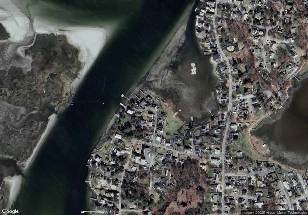
Map
Nearby Homes
- 13 Honeysuckle Rd
- 2 Breezy Point Rd
- 3 Deacon Farm Ln
- 31 Echo Ave
- 167 Atlantic St
- 178 Atlantic St
- 672 Washington St
- 226 Atlantic St
- 3 Rockland St
- 13 Mystic Ave
- 8 Mystic Ave
- 6 Monroe Ct
- 98 Maplewood Ave
- 9 Cleveland Place
- 12 Arthur St
- 5 Samoset Rd Unit B
- 145 Essex Ave Unit 402
- 40 Sargent St
- 15 Harvard St
- 24 Cobblestone Ln Unit 603
- 5 Cedar Ln
- 4 Gilson Way
- 9 Cedar Ln
- 6 Cedar Ln
- 3 Cedar Ln
- 11 Cedar Ln
- 11 Cedar Ln
- 09 Cedar Ln
- 4 Cedar Ln
- 13 Cedar Ln
- 1 Cedar Ln
- 2 Cedar Ln
- 56 Thurston Point Rd
- 62 Thurston Point Rd
- 64 Thurston Point Rd
- 8 Thurston Ln
- 8 Thurston Ln Unit 2
- Lot 11E Road b
- 66 Thurston Point Rd
- 8 Thurston Lane U:2 Unit WINTER RENT
Your Personal Tour Guide
Ask me questions while you tour the home.