10 Center Roadway White Sulphur Springs, MT 59645
Estimated Value: $354,000 - $545,000
3
Beds
1
Bath
922
Sq Ft
$488/Sq Ft
Est. Value
About This Home
This home is located at 10 Center Roadway, White Sulphur Springs, MT 59645 and is currently estimated at $449,500, approximately $487 per square foot. 10 Center Roadway is a home located in Meagher County with nearby schools including White Sulphur Springs High School.
Ownership History
Date
Name
Owned For
Owner Type
Purchase Details
Closed on
Sep 14, 2020
Sold by
Simmons William H and Simmons Agnes L
Bought by
Buckley Brian T
Current Estimated Value
Home Financials for this Owner
Home Financials are based on the most recent Mortgage that was taken out on this home.
Original Mortgage
$110,000
Outstanding Balance
$77,631
Interest Rate
2.4%
Mortgage Type
Construction
Estimated Equity
$371,869
Purchase Details
Closed on
Oct 10, 2001
Bought by
Simmons William H and Simmons Agnes L
Create a Home Valuation Report for This Property
The Home Valuation Report is an in-depth analysis detailing your home's value as well as a comparison with similar homes in the area
Home Values in the Area
Average Home Value in this Area
Purchase History
| Date | Buyer | Sale Price | Title Company |
|---|---|---|---|
| Buckley Brian T | $137,500 | First American Title | |
| Simmons William H | -- | -- |
Source: Public Records
Mortgage History
| Date | Status | Borrower | Loan Amount |
|---|---|---|---|
| Open | Buckley Brian T | $110,000 |
Source: Public Records
Tax History Compared to Growth
Tax History
| Year | Tax Paid | Tax Assessment Tax Assessment Total Assessment is a certain percentage of the fair market value that is determined by local assessors to be the total taxable value of land and additions on the property. | Land | Improvement |
|---|---|---|---|---|
| 2025 | $915 | $240,400 | $0 | $0 |
| 2024 | $2,037 | $300,400 | $0 | $0 |
| 2023 | $1,968 | $299,600 | $0 | $0 |
| 2022 | $1,260 | $168,700 | $0 | $0 |
| 2021 | $1,222 | $168,700 | $0 | $0 |
| 2020 | $1,031 | $141,800 | $0 | $0 |
| 2019 | $1,054 | $141,800 | $0 | $0 |
| 2018 | $906 | $118,498 | $0 | $0 |
| 2017 | $915 | $118,498 | $0 | $0 |
| 2016 | $767 | $101,528 | $0 | $0 |
| 2015 | $674 | $101,528 | $0 | $0 |
| 2014 | $813 | $65,614 | $0 | $0 |
Source: Public Records
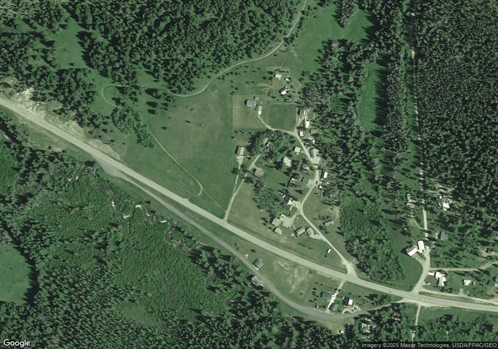
Map
Nearby Homes
- 95 Little Moose Creek Trail
- 95 Little Moose Creek
- TBD Divide Rd
- 97 Moose Creek Rd
- 612 S Main St
- NHN Luppold
- 37 Lind Ln
- 63 Castle Mountain Estates Rd
- 215 Badger St
- NHN 3rd Ave NE
- 405 1st Ave NE
- 308 E Larime St
- Nhn Hampton St E
- TBD U S 12
- 402 5th Ave SE Unit 1,2,3,4
- 12 W Main St
- 210 S Central Ave
- 301 E Crawford St
- Lot 11 4th Ave SE
- Tbd W Main St
- 2055 Us Highway 89 N
- TBD W Roadway
- 2052 Us Highway 89 N
- 3 Ranch Creek Rd
- 16 Ranch Creek Rd S
- 12 Ranch Creek Rd
- 2036 U S 89
- 2045 Us Highway 89 N
- 2045 U S Hwy 89 N
- 2045 U S 89
- 2045 U S 89 Unit WHITE SULPHUR SPRING
- 23 Smoky Mountain Cir
- 25 Smoky Mountain Cir
- Tbd Hwy 89 N
- TBD Hwy 89 N Forest Green
- 2077 Us Highway 89 N
- 2126 Us Highway 89 N
- 2130 Us Highway 89 N