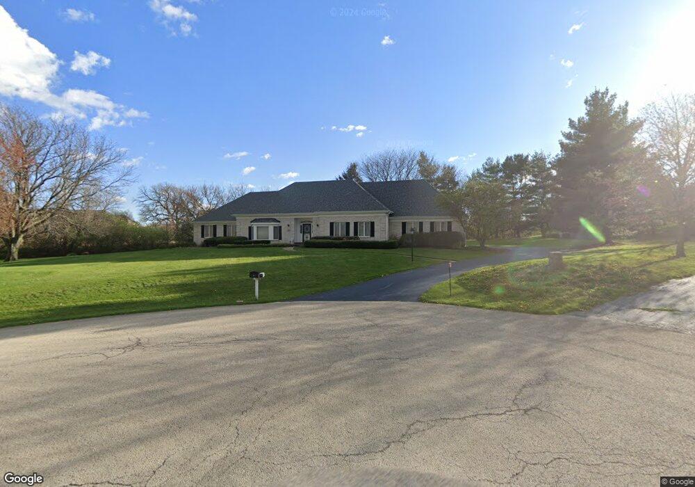
10 Century Ct Oswego, IL 60543
Northwest Oswego NeighborhoodEstimated Value: $473,000 - $588,000
4
Beds
3
Baths
3,700
Sq Ft
$148/Sq Ft
Est. Value
About This Home
This home is located at 10 Century Ct, Oswego, IL 60543 and is currently estimated at $548,616, approximately $148 per square foot. 10 Century Ct is a home located in Kendall County with nearby schools including Fox Chase Elementary School, Traughber Junior High School, and Oswego High School.
Ownership History
Date
Name
Owned For
Owner Type
Purchase Details
Closed on
Jun 21, 2001
Sold by
Myers Maurice W
Bought by
Cornwall Gerald W and Cornwall Carolyn Jane G
Current Estimated Value
Purchase Details
Closed on
May 22, 2001
Sold by
Myers Maurice W
Bought by
Myers Maurice W
Purchase Details
Closed on
May 15, 1998
Sold by
Myers Maurice W and Myers Charlene F
Bought by
Myers Maurice W
Purchase Details
Closed on
Aug 1, 1986
Create a Home Valuation Report for This Property
The Home Valuation Report is an in-depth analysis detailing your home's value as well as a comparison with similar homes in the area
Home Values in the Area
Average Home Value in this Area
Purchase History
| Date | Buyer | Sale Price | Title Company |
|---|---|---|---|
| Cornwall Gerald W | $328,000 | -- | |
| Myers Maurice W | -- | -- | |
| Myers Maurice W | -- | -- | |
| -- | $28,700 | -- |
Source: Public Records
Tax History Compared to Growth
Tax History
| Year | Tax Paid | Tax Assessment Tax Assessment Total Assessment is a certain percentage of the fair market value that is determined by local assessors to be the total taxable value of land and additions on the property. | Land | Improvement |
|---|---|---|---|---|
| 2024 | $12,000 | $162,595 | $21,754 | $140,841 |
| 2023 | $11,406 | $150,551 | $20,143 | $130,408 |
| 2022 | $11,406 | $139,399 | $18,651 | $120,748 |
| 2021 | $11,210 | $132,761 | $17,763 | $114,998 |
| 2020 | $11,079 | $130,158 | $17,415 | $112,743 |
| 2019 | $11,257 | $130,158 | $17,415 | $112,743 |
| 2018 | $11,360 | $127,431 | $17,050 | $110,381 |
| 2017 | $11,262 | $122,530 | $16,394 | $106,136 |
| 2016 | $10,774 | $116,142 | $15,539 | $100,603 |
| 2015 | $11,306 | $116,142 | $15,539 | $100,603 |
| 2014 | -- | $119,170 | $15,539 | $103,631 |
| 2013 | -- | $140,285 | $15,086 | $125,199 |
Source: Public Records
Map
Nearby Homes
- 1721 State Route 31
- 133 River Mist Dr Unit 3
- 156 River Mist Dr
- 2110 State Route 31
- 2100 Light Rd Unit 109
- 608 Clearwater Ct
- 602 Clearwater Ct Unit 2
- 403 Lake Ct
- 2350 State Route 31
- 7.43 Acres Vacant La State Route 31
- 505 Parkland Ct
- 173 Dolores St
- 11-13 W Anchor Rd
- Parcel 004 & 003 Illinois 25
- 102 Mary St
- 5.43 B-3 Commercial State Route 31
- 34 N Adams St
- 409 Fawn Dr
- 22 Sherwick Rd
- 125 Presidential Blvd Unit 3248
- 6 Century Ct
- 6 Century Ct
- 6 Century Ct
- 6 Century Ct
- 104 River Mist Dr
- 106 River Mist Dr
- 102 River Mist Dr
- 100 River Mist Dr
- 2 Century Ct
- 110 River Mist Dr Unit 1
- 112 River Mist Dr
- 112 River Mist Dr Unit 211
- 114 River Mist Dr
- 83 Century Dr
- 196 River Mist Dr
- 20 Century Dr
- 70 Century Dr
- 194 River Mist Dr
- 192 River Mist Dr
- 197 River Mist Dr Unit 1