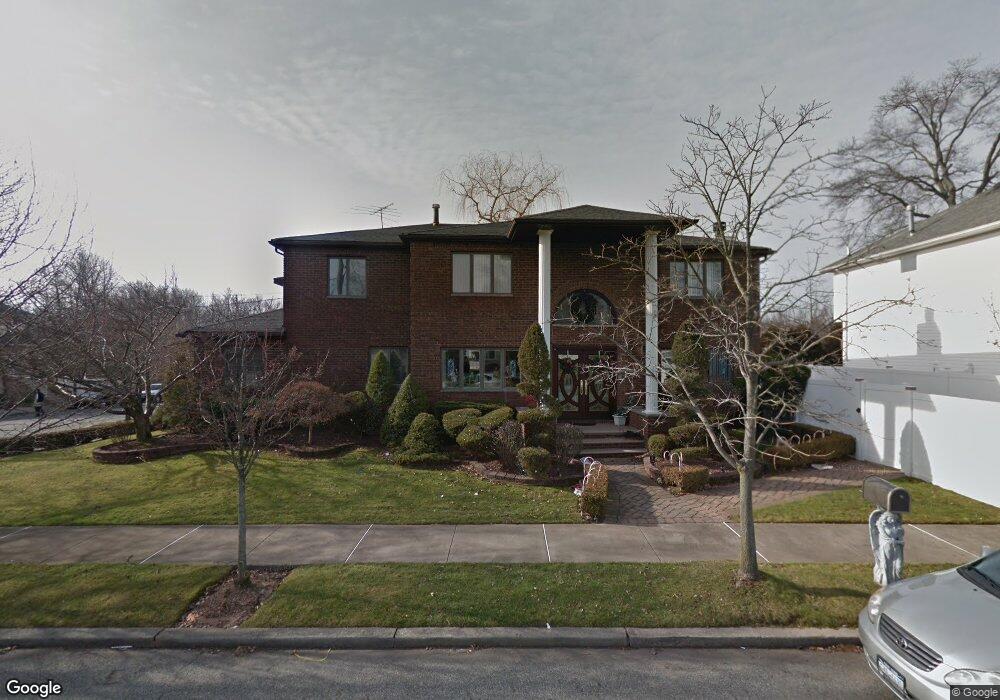
10 Clearmont Ave Staten Island, NY 10309
Prince's Bay NeighborhoodEstimated Value: $1,416,000 - $1,627,000
5
Beds
4
Baths
3,480
Sq Ft
$441/Sq Ft
Est. Value
About This Home
This home is located at 10 Clearmont Ave, Staten Island, NY 10309 and is currently estimated at $1,535,872, approximately $441 per square foot. 10 Clearmont Ave is a home located in Richmond County with nearby schools including P.S. 3 - The Margaret Gioiosa School, I.S. 007 Elias Bernstein, and Tottenville High School.
Ownership History
Date
Name
Owned For
Owner Type
Purchase Details
Closed on
Sep 27, 2002
Sold by
Block 950 Realty Corp
Bought by
Longo Joseph
Current Estimated Value
Home Financials for this Owner
Home Financials are based on the most recent Mortgage that was taken out on this home.
Original Mortgage
$384,900
Interest Rate
6.34%
Mortgage Type
Purchase Money Mortgage
Purchase Details
Closed on
Jun 4, 2002
Sold by
Masucci Richard and Masucci Donna
Bought by
Block 950 Realty Corp
Create a Home Valuation Report for This Property
The Home Valuation Report is an in-depth analysis detailing your home's value as well as a comparison with similar homes in the area
Home Values in the Area
Average Home Value in this Area
Purchase History
| Date | Buyer | Sale Price | Title Company |
|---|---|---|---|
| Longo Joseph | $522,500 | Old Republic Natl Title Ins | |
| Block 950 Realty Corp | $640,000 | -- |
Source: Public Records
Mortgage History
| Date | Status | Borrower | Loan Amount |
|---|---|---|---|
| Previous Owner | Longo Joseph | $384,900 |
Source: Public Records
Tax History Compared to Growth
Tax History
| Year | Tax Paid | Tax Assessment Tax Assessment Total Assessment is a certain percentage of the fair market value that is determined by local assessors to be the total taxable value of land and additions on the property. | Land | Improvement |
|---|---|---|---|---|
| 2025 | $14,570 | $102,780 | $15,556 | $87,224 |
| 2024 | $14,582 | $84,000 | $17,957 | $66,043 |
| 2023 | $13,882 | $69,756 | $16,939 | $52,817 |
| 2022 | $12,850 | $86,760 | $21,360 | $65,400 |
| 2021 | $13,546 | $80,760 | $21,360 | $59,400 |
| 2020 | $13,529 | $71,160 | $21,360 | $49,800 |
| 2019 | $12,597 | $61,860 | $21,360 | $40,500 |
| 2018 | $11,552 | $58,130 | $18,882 | $39,248 |
| 2017 | $10,879 | $54,840 | $21,360 | $33,480 |
| 2016 | $10,989 | $56,520 | $21,360 | $35,160 |
| 2015 | $10,311 | $55,320 | $17,820 | $37,500 |
| 2014 | $10,311 | $55,320 | $17,820 | $37,500 |
Source: Public Records
Map
Nearby Homes
- 436 Ashland Ave
- 21 Boynton St
- 37 Depew Place
- 15 Minturn Ave
- 518 Bradford Ave
- 5975 Amboy Rd
- 190 Parkwood Ave
- 27 Utica St
- 6136 Amboy Rd
- 634 Darlington Ave
- 93 Wheeling Ave
- 274 Ashland Ave
- 6233 Amboy Rd
- 61 Queensdale St
- 1051 Edgegrove Ave
- 1047 Edgegrove Ave
- 71 Excelsior Ave
- 299 Foster Rd
- 987 Ionia Ave
- 52 Cranberry Ct
- 8 Clearmont Ave
- 163 Uncas Ave
- 4 Clearmont Ave
- 156 Uncas Ave
- 15 Clearmont Ave
- 19 Clearmont Ave
- 474 Albourne Ave
- 162 Uncas Ave
- 11 Clearmont Ave
- 7 Clearmont Ave
- 28 Clearmont Ave
- 173 Uncas Ave
- 27 Clearmont Ave
- 3 Clearmont Ave
- 133 Uncas Ave
- 32 Clearmont Ave
- 31 Clearmont Ave
- 301 Vogel Ave
- 66 Minturn Ave
- 450 Albourne Ave