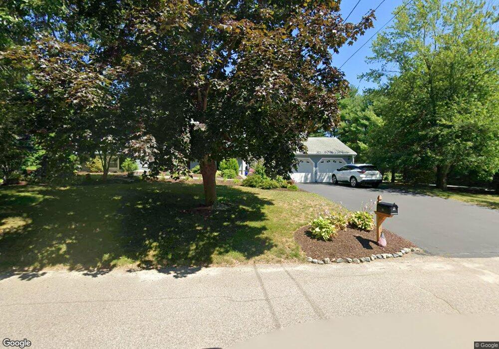
10 Colts Way Attleboro, MA 02703
Estimated Value: $579,000 - $633,344
3
Beds
2
Baths
1,292
Sq Ft
$468/Sq Ft
Est. Value
About This Home
This home is located at 10 Colts Way, Attleboro, MA 02703 and is currently estimated at $605,086, approximately $468 per square foot. 10 Colts Way is a home located in Bristol County with nearby schools including Thomas E. Willett School, Cyril K. Brennan Middle School, and Attleboro High School.
Ownership History
Date
Name
Owned For
Owner Type
Purchase Details
Closed on
Aug 23, 1995
Sold by
Mccusker Paul A and Mccusker Leeann
Bought by
Jette Stephen A and Jette Bonnie J
Current Estimated Value
Create a Home Valuation Report for This Property
The Home Valuation Report is an in-depth analysis detailing your home's value as well as a comparison with similar homes in the area
Home Values in the Area
Average Home Value in this Area
Purchase History
| Date | Buyer | Sale Price | Title Company |
|---|---|---|---|
| Jette Stephen A | $154,000 | -- |
Source: Public Records
Mortgage History
| Date | Status | Borrower | Loan Amount |
|---|---|---|---|
| Open | Jette Stephen A | $180,000 | |
| Closed | Jette Stephen A | $150,000 |
Source: Public Records
Tax History Compared to Growth
Tax History
| Year | Tax Paid | Tax Assessment Tax Assessment Total Assessment is a certain percentage of the fair market value that is determined by local assessors to be the total taxable value of land and additions on the property. | Land | Improvement |
|---|---|---|---|---|
| 2025 | $6,227 | $496,200 | $169,300 | $326,900 |
| 2024 | $5,992 | $470,700 | $152,400 | $318,300 |
| 2023 | $5,843 | $426,800 | $153,800 | $273,000 |
| 2022 | $5,540 | $383,400 | $146,500 | $236,900 |
| 2021 | $5,161 | $348,700 | $141,100 | $207,600 |
| 2020 | $4,841 | $332,500 | $134,800 | $197,700 |
| 2019 | $4,577 | $323,200 | $132,300 | $190,900 |
| 2018 | $4,385 | $295,900 | $128,300 | $167,600 |
| 2017 | $4,266 | $293,200 | $125,200 | $168,000 |
| 2016 | $3,958 | $267,100 | $116,800 | $150,300 |
| 2015 | $3,907 | $265,600 | $116,800 | $148,800 |
| 2014 | $3,747 | $252,300 | $111,800 | $140,500 |
Source: Public Records
Map
Nearby Homes
- 6 Colts Way
- 36 Cranberry Rd
- 6 Cedar Creek Dr
- 122 Mary Ann Way
- 17 Peters Way
- 115 Westfield Dr
- 21 Shady Ln
- 47 Old Farm Rd
- 20 Sperry Ln
- 451R Gilbert St
- 70 Sperry Ln Unit Lot 11
- 546 Towne St
- 18 Quincy Way
- 11 Landry Ave
- 57 Vine St
- 10 Sleepy Hollow Cir
- 14 Claire Ave
- 176 Elm St
- 17 Karen St
- 2 Oak St Unit 2D