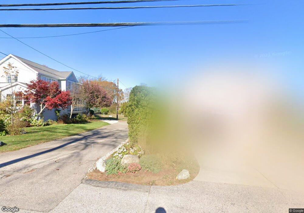
10 Conanicut Rd Narragansett, RI 02882
Estimated Value: $787,273 - $1,254,000
3
Beds
3
Baths
2,065
Sq Ft
$466/Sq Ft
Est. Value
About This Home
This home is located at 10 Conanicut Rd, Narragansett, RI 02882 and is currently estimated at $962,318, approximately $466 per square foot. 10 Conanicut Rd is a home located in Washington County with nearby schools including Narragansett Elementary School, Narragansett Pier Middle School, and Narragansett High School.
Ownership History
Date
Name
Owned For
Owner Type
Purchase Details
Closed on
Feb 5, 2024
Sold by
Deery Deborah A and Robinson John H
Bought by
Robinson Gena C
Current Estimated Value
Purchase Details
Closed on
Aug 7, 2017
Sold by
Deery Deborah A and Robinson John H
Bought by
Deery Deborah A and Robinson John H
Purchase Details
Closed on
Sep 9, 2009
Sold by
Deery Marianne and Deery Deborah
Bought by
Deery Marianne and Deery Deborah A
Create a Home Valuation Report for This Property
The Home Valuation Report is an in-depth analysis detailing your home's value as well as a comparison with similar homes in the area
Home Values in the Area
Average Home Value in this Area
Purchase History
| Date | Buyer | Sale Price | Title Company |
|---|---|---|---|
| Robinson Gena C | -- | None Available | |
| Deery Deborah A | -- | -- | |
| Deery Marianne | -- | -- |
Source: Public Records
Mortgage History
| Date | Status | Borrower | Loan Amount |
|---|---|---|---|
| Previous Owner | Deery Marianne | $124,000 |
Source: Public Records
Tax History Compared to Growth
Tax History
| Year | Tax Paid | Tax Assessment Tax Assessment Total Assessment is a certain percentage of the fair market value that is determined by local assessors to be the total taxable value of land and additions on the property. | Land | Improvement |
|---|---|---|---|---|
| 2025 | $4,422 | $651,200 | $279,800 | $371,400 |
| 2024 | $4,265 | $651,200 | $279,800 | $371,400 |
| 2023 | $4,391 | $471,600 | $174,800 | $296,800 |
| 2022 | $2,899 | $322,100 | $174,800 | $147,300 |
| 2021 | $3,752 | $423,500 | $174,800 | $248,700 |
| 2020 | $3,821 | $364,600 | $139,000 | $225,600 |
| 2019 | $3,730 | $364,600 | $139,000 | $225,600 |
| 2018 | $3,628 | $364,600 | $139,000 | $225,600 |
| 2017 | $3,277 | $310,300 | $134,500 | $175,800 |
| 2016 | $3,128 | $310,300 | $134,500 | $175,800 |
| 2015 | $3,084 | $310,300 | $134,500 | $175,800 |
| 2014 | $3,171 | $315,800 | $145,700 | $170,100 |
Source: Public Records
Map
Nearby Homes
- 0 Betty Dr
- 91 Bonnet Point Rd
- 7 Leatherleaf Rd
- 64 Juniper Trail
- 51 Bonnet Shores Rd
- 53 Bonnet Shores Rd
- 80 Old Pine Rd
- 55 Bonnet Shores Rd
- 51 Osceola Ave
- 74 Bayberry Rd
- 121 Spice Bush Trail
- 727 Boston Neck Rd
- 11 Tupelo Trail
- 137 Bonnet Shores Rd
- 47 Wayland Trail
- 264 Colonel John Gardner Rd
- 20 Anchorage Rd
- 0 S River Dr
- 46 S River Dr
- 18 Anawan Ave
- 6 Algonquin Rd
- 13 Bonnet View Dr
- 7 Bonnet View Dr
- 6 Conanicut Rd
- 14 Conanicut Rd
- 12 Algonquin Rd
- 0 Conanicut Rd
- 17 Bonnet View Dr
- 16 Algonquin Rd
- 1 Mcmillen Way
- 22 Algonquin Rd
- 2 Diane Rd
- 15 Algonquin Rd
- 883 Boston Neck Rd
- 21 Bonnet View Dr
- 887 Boston Neck Rd
- 20 Bonnet View Dr
- 25 Conanicut Rd
- 3 Diane Rd
- 17 Algonquin Rd