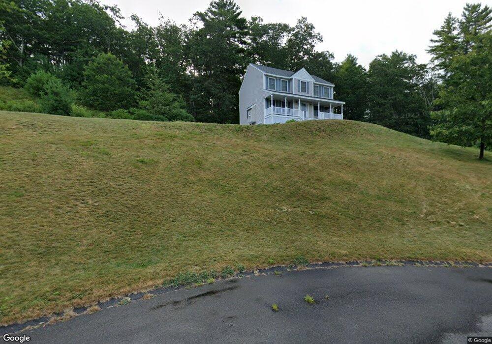
10 Conservation Dr MerriMacK, NH 03054
Estimated Value: $681,473 - $790,000
4
Beds
3
Baths
2,334
Sq Ft
$321/Sq Ft
Est. Value
About This Home
This home is located at 10 Conservation Dr, MerriMacK, NH 03054 and is currently estimated at $748,868, approximately $320 per square foot. 10 Conservation Dr is a home located in Hillsborough County with nearby schools including James Mastricola Elementary School, Merrimack Middle School, and James Mastricola Upper Elementary School.
Ownership History
Date
Name
Owned For
Owner Type
Purchase Details
Closed on
May 15, 2025
Sold by
Mcdaniel Joshua and Mcdaniel Jessica
Bought by
10 Conservation Drive Rt and Mcdaniel
Current Estimated Value
Purchase Details
Closed on
Jul 25, 2024
Sold by
Johnson Edward R
Bought by
Mcdaniel Joshua and Mcdaniel Jessica
Home Financials for this Owner
Home Financials are based on the most recent Mortgage that was taken out on this home.
Original Mortgage
$549,600
Interest Rate
6.95%
Mortgage Type
Purchase Money Mortgage
Purchase Details
Closed on
Nov 24, 2010
Sold by
Conservation Drive Llc
Bought by
Johnson Edward R
Home Financials for this Owner
Home Financials are based on the most recent Mortgage that was taken out on this home.
Original Mortgage
$345,349
Interest Rate
4.25%
Mortgage Type
Purchase Money Mortgage
Create a Home Valuation Report for This Property
The Home Valuation Report is an in-depth analysis detailing your home's value as well as a comparison with similar homes in the area
Home Values in the Area
Average Home Value in this Area
Purchase History
| Date | Buyer | Sale Price | Title Company |
|---|---|---|---|
| 10 Conservation Drive Rt | -- | None Available | |
| Mcdaniel Joshua | $159,800 | None Available | |
| Mcdaniel Joshua | $159,800 | None Available | |
| Mcdaniel Joshua | $159,800 | None Available | |
| Johnson Edward R | $353,000 | -- | |
| Johnson Edward R | $353,000 | -- |
Source: Public Records
Mortgage History
| Date | Status | Borrower | Loan Amount |
|---|---|---|---|
| Previous Owner | Mcdaniel Joshua | $549,600 | |
| Previous Owner | Johnson Edward R | $345,349 | |
| Previous Owner | Johnson Edward R | $1,344,000 |
Source: Public Records
Tax History Compared to Growth
Tax History
| Year | Tax Paid | Tax Assessment Tax Assessment Total Assessment is a certain percentage of the fair market value that is determined by local assessors to be the total taxable value of land and additions on the property. | Land | Improvement |
|---|---|---|---|---|
| 2024 | $9,927 | $479,800 | $256,900 | $222,900 |
| 2023 | $9,332 | $479,800 | $256,900 | $222,900 |
| 2022 | $8,339 | $479,800 | $256,900 | $222,900 |
| 2021 | $8,238 | $479,800 | $256,900 | $222,900 |
| 2020 | $8,395 | $348,900 | $173,700 | $175,200 |
| 2019 | $8,419 | $348,900 | $173,700 | $175,200 |
| 2018 | $8,415 | $348,900 | $173,700 | $175,200 |
| 2017 | $8,109 | $347,000 | $173,700 | $173,300 |
| 2016 | $7,908 | $347,000 | $173,700 | $173,300 |
| 2015 | $8,187 | $331,200 | $168,100 | $163,100 |
| 2014 | $7,979 | $331,200 | $168,100 | $163,100 |
| 2013 | $7,919 | $331,200 | $168,100 | $163,100 |
Source: Public Records
Map
Nearby Homes
- 10 Conservation Dr
- 8 Conservation Dr
- 9 Conservation Dr
- 11 Conservation Dr
- 11 Conservation Dr
- 6 Conservation Dr
- 7 Conservation Dr
- 38 Marty Dr
- 5 Conservation Dr
- 4 Conservation Dr
- 48 Marty Dr
- 40 Marty Dr
- 3 Conservation Dr
- 42 Marty Dr
- 44 Marty Dr
- 46 Marty Dr
- 4 Linden Way
- 6 Linden Way
- 36 Marty Dr
- 10 Linden Way