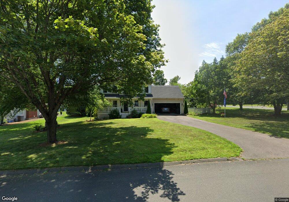
10 Conservation Rd Suffield, CT 06078
Estimated Value: $496,064 - $556,000
3
Beds
3
Baths
1,659
Sq Ft
$310/Sq Ft
Est. Value
About This Home
This home is located at 10 Conservation Rd, Suffield, CT 06078 and is currently estimated at $515,016, approximately $310 per square foot. 10 Conservation Rd is a home located in Hartford County with nearby schools including A. Ward Spaulding School, Mcalister Intermediate School, and Suffield Middle School.
Ownership History
Date
Name
Owned For
Owner Type
Purchase Details
Closed on
Apr 19, 2006
Sold by
Powers Christopher
Bought by
Barthen Raymond and Barthen Barbara
Current Estimated Value
Home Financials for this Owner
Home Financials are based on the most recent Mortgage that was taken out on this home.
Original Mortgage
$150,000
Interest Rate
6.37%
Purchase Details
Closed on
Sep 12, 2000
Sold by
Marco Prop
Bought by
Towers Christopher and Towers Terri
Home Financials for this Owner
Home Financials are based on the most recent Mortgage that was taken out on this home.
Original Mortgage
$183,850
Interest Rate
8.1%
Purchase Details
Closed on
Dec 28, 1998
Sold by
Talarski Walter
Bought by
Rfr Equipment
Create a Home Valuation Report for This Property
The Home Valuation Report is an in-depth analysis detailing your home's value as well as a comparison with similar homes in the area
Home Values in the Area
Average Home Value in this Area
Purchase History
| Date | Buyer | Sale Price | Title Company |
|---|---|---|---|
| Barthen Raymond | $325,000 | -- | |
| Towers Christopher | $204,500 | -- | |
| Rfr Equipment | $52,800 | -- |
Source: Public Records
Mortgage History
| Date | Status | Borrower | Loan Amount |
|---|---|---|---|
| Closed | Rfr Equipment | $100,000 | |
| Closed | Rfr Equipment | $150,000 | |
| Previous Owner | Rfr Equipment | $198,000 | |
| Previous Owner | Rfr Equipment | $183,850 |
Source: Public Records
Tax History Compared to Growth
Tax History
| Year | Tax Paid | Tax Assessment Tax Assessment Total Assessment is a certain percentage of the fair market value that is determined by local assessors to be the total taxable value of land and additions on the property. | Land | Improvement |
|---|---|---|---|---|
| 2025 | $6,422 | $274,330 | $61,530 | $212,800 |
| 2024 | $6,208 | $274,330 | $61,530 | $212,800 |
| 2023 | $5,557 | $194,250 | $61,320 | $132,930 |
| 2022 | $5,557 | $194,250 | $61,320 | $132,930 |
| 2021 | $5,563 | $194,250 | $61,320 | $132,930 |
| 2020 | $5,563 | $194,250 | $61,320 | $132,930 |
| 2019 | $5,579 | $194,250 | $61,320 | $132,930 |
| 2018 | $5,679 | $193,690 | $60,480 | $133,210 |
| 2017 | $5,596 | $193,690 | $60,480 | $133,210 |
| 2016 | $5,462 | $193,690 | $60,480 | $133,210 |
| 2015 | $5,381 | $193,690 | $60,480 | $133,210 |
| 2014 | $5,253 | $193,690 | $60,480 | $133,210 |
Source: Public Records
Map
Nearby Homes
- 3 Green Briar Dr Unit 3
- 779 Bridge St
- 2 Pearl Street Extension
- 813 Overhill Dr
- 155 Mountain Laurel Way
- 20 Greendale Dr
- 424 Bridge St
- 78 Landing Cir Unit 78
- 660 East St S
- 5 Spier Ave
- 180 Dusky Ln
- 1165 Enfield St Unit 11
- 8 Frew Terrace
- 61 Fairview Ave
- 1527 King St
- 69 Prospect St
- 56 S River St
- 1070 Enfield St
- 1561 King St
- 0 Boston Neck Rd
- 18 Conservation Rd
- 19 East St S
- 10 East St S
- 26 Conservation Rd
- 45 East St S
- 0 East St S
- 0 East St S Unit 170485949
- 0 East St S Unit 170473764
- 0 East St S Unit 170435559
- 00 East St S
- 985 Bridge St
- 57 East St S
- 53 Audubon St
- 21 Conservation Rd
- 70 East St S
- 61 Audubon St
- 49 Audubon St
- 71 East St S
- 8 East St N
- 971 Bridge St