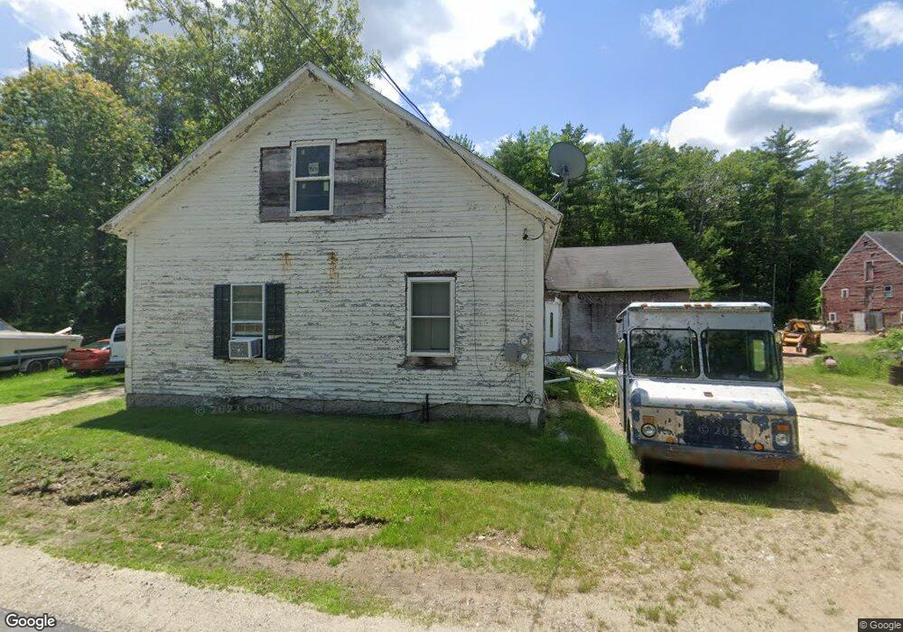
10 Cooledge Rd Hillsborough, NH 03244
Hillsboro NeighborhoodEstimated Value: $415,017 - $537,000
4
Beds
3
Baths
2,330
Sq Ft
$202/Sq Ft
Est. Value
About This Home
This home is located at 10 Cooledge Rd, Hillsborough, NH 03244 and is currently estimated at $469,672, approximately $201 per square foot. 10 Cooledge Rd is a home located in Hillsborough County with nearby schools including Hillsboro-Deering Elementary School, Hillsboro-Deering High School, and Hillsboro Christian School.
Ownership History
Date
Name
Owned For
Owner Type
Purchase Details
Closed on
Jan 25, 2001
Sold by
Shedd Brook Sand & Gra
Bought by
Breto Roger M Roger and Breton Debra L
Current Estimated Value
Home Financials for this Owner
Home Financials are based on the most recent Mortgage that was taken out on this home.
Original Mortgage
$142,500
Outstanding Balance
$52,666
Interest Rate
7.39%
Mortgage Type
Purchase Money Mortgage
Estimated Equity
$417,006
Create a Home Valuation Report for This Property
The Home Valuation Report is an in-depth analysis detailing your home's value as well as a comparison with similar homes in the area
Home Values in the Area
Average Home Value in this Area
Purchase History
| Date | Buyer | Sale Price | Title Company |
|---|---|---|---|
| Breto Roger M Roger | $162,500 | -- |
Source: Public Records
Mortgage History
| Date | Status | Borrower | Loan Amount |
|---|---|---|---|
| Open | Breto Roger M Roger | $142,500 |
Source: Public Records
Tax History Compared to Growth
Tax History
| Year | Tax Paid | Tax Assessment Tax Assessment Total Assessment is a certain percentage of the fair market value that is determined by local assessors to be the total taxable value of land and additions on the property. | Land | Improvement |
|---|---|---|---|---|
| 2024 | $6,146 | $183,800 | $66,700 | $117,100 |
| 2023 | $5,738 | $183,800 | $66,700 | $117,100 |
| 2022 | $4,906 | $183,800 | $66,700 | $117,100 |
| 2021 | $5,315 | $183,800 | $66,700 | $117,100 |
| 2020 | $5,281 | $183,800 | $66,700 | $117,100 |
| 2018 | $5,233 | $164,900 | $56,700 | $108,200 |
| 2017 | $6,070 | $164,900 | $56,700 | $108,200 |
| 2016 | $7,327 | $156,100 | $51,700 | $104,400 |
| 2015 | $4,535 | $156,100 | $51,700 | $104,400 |
| 2014 | $4,302 | $156,100 | $51,700 | $104,400 |
| 2013 | $4,380 | $156,100 | $51,700 | $104,400 |
Source: Public Records
Map
Nearby Homes
- 00 Windsor Rd Unit 21
- 235 Windsor Rd
- 246 Windsor Rd
- 499 2nd New Hampshire Turnpike
- M7 L107 Gleason Falls Rd
- M7/L28 Stowe Mountain Rd
- 134 Hall Rd
- 328 2nd Nh Turnpike
- 298 2nd New Hampshire Turnpike Unit 10-038-000
- 298 2nd New Hampshire Turnpike
- 626 W Main St
- 17 Minott Rd
- 162 Rocky Ledge Rd
- Lot 14 Old Mill Farm Rd
- 62 County Rd
- 165 Second New Hampshire Turnpike
- 571 Center Rd
- 447 Center Rd
- 5-166 Kimball Hill Rd
- 33 Kimball Hill Rd
- 656 Second New Hampshire Turnpike
- 672 2nd Nh Turnpike
- 28 Gleason Falls Rd
- 644 2nd Nh Turnpike
- 17 Bystrek Rd
- 647 2nd New Hampshire Turnpike N
- 647 2nd Nh Turnpike
- 647 2nd Nh Turnpike
- 74 Bystrek Rd
- 7 Gleason Falls Rd
- 6 Gleason Falls Rd
- 630 2nd Nh Turnpike
- 630 2nd Nh Turnpike
- 622 2nd Nh Turnpike
- 622 2nd Nh Turnpike
- 622 2nd Nh Turnpike
- 633 Second New Hampshire Turnpike
- 618 2nd Nh Turnpike
- 618 2nd Nh Turnpike
- 32 Lasala Rd