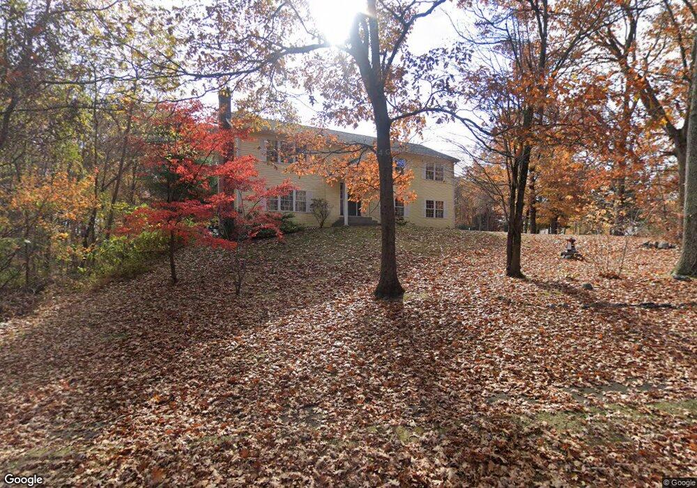
10 Cove Rd Bristol, CT 06010
South Bristol NeighborhoodEstimated Value: $418,000 - $469,000
3
Beds
2
Baths
1,352
Sq Ft
$324/Sq Ft
Est. Value
About This Home
This home is located at 10 Cove Rd, Bristol, CT 06010 and is currently estimated at $437,475, approximately $323 per square foot. 10 Cove Rd is a home located in Hartford County with nearby schools including Chippens Hill Middle School, Bristol Central High School, and Immanuel Lutheran School.
Ownership History
Date
Name
Owned For
Owner Type
Purchase Details
Closed on
Nov 19, 2009
Sold by
Latvis Diane S
Bought by
Latvis Michelle A
Current Estimated Value
Home Financials for this Owner
Home Financials are based on the most recent Mortgage that was taken out on this home.
Original Mortgage
$100,000
Interest Rate
4.86%
Create a Home Valuation Report for This Property
The Home Valuation Report is an in-depth analysis detailing your home's value as well as a comparison with similar homes in the area
Home Values in the Area
Average Home Value in this Area
Purchase History
| Date | Buyer | Sale Price | Title Company |
|---|---|---|---|
| Latvis Michelle A | $125,000 | -- |
Source: Public Records
Mortgage History
| Date | Status | Borrower | Loan Amount |
|---|---|---|---|
| Open | Latvis Michelle A | $98,000 | |
| Closed | Latvis Michelle A | $100,000 | |
| Previous Owner | Latvis Michelle A | $100,000 |
Source: Public Records
Tax History Compared to Growth
Tax History
| Year | Tax Paid | Tax Assessment Tax Assessment Total Assessment is a certain percentage of the fair market value that is determined by local assessors to be the total taxable value of land and additions on the property. | Land | Improvement |
|---|---|---|---|---|
| 2025 | $7,978 | $236,390 | $65,450 | $170,940 |
| 2024 | $7,529 | $236,390 | $65,450 | $170,940 |
| 2023 | $7,174 | $236,390 | $65,450 | $170,940 |
| 2022 | $7,154 | $186,550 | $60,620 | $125,930 |
| 2021 | $7,154 | $186,550 | $60,620 | $125,930 |
| 2020 | $7,154 | $186,550 | $60,620 | $125,930 |
| 2019 | $7,098 | $186,550 | $60,620 | $125,930 |
| 2018 | $6,880 | $186,550 | $60,620 | $125,930 |
| 2017 | $6,386 | $177,240 | $68,040 | $109,200 |
| 2016 | $6,386 | $177,240 | $68,040 | $109,200 |
| 2015 | $6,134 | $177,240 | $68,040 | $109,200 |
| 2014 | $6,134 | $177,240 | $68,040 | $109,200 |
Source: Public Records
Map
Nearby Homes
- 351 Witches Rock Rd
- 140 Corbin Ridge
- 123 Corbin Ridge
- 32 Cameron Dr
- 101 Corbin Ridge
- 156 Corbin Ridge
- 145 Corbin Ridge
- 26 Kilmartin Ave
- 66 Mattatuck Rd
- 115 Kilmartin Ave
- 13 Overlook Terrace
- 22 Overlook Terrace
- 93-95 Eastview Rd
- 115 Old Wolcott Rd
- 4 Fall Mountain Terrace
- 27 Club Ln
- 1253 Spindle Hill Rd
- 41 Fall Mountain Lake Rd
- 489 Wolcott St Unit 46
- 489 Wolcott St Unit 47
- 25 Cove Rd
- 30 Cove Rd
- 403 Witches Rock Rd
- 428 Witches Rock Rd
- 431 Witches Rock Rd
- 402 Witches Rock Rd
- 395 Witches Rock Rd
- 441 Witches Rock Rd
- 21 Lakewood Cir
- 46 Cove Rd
- 455 Witches Rock Rd
- 380 Witches Rock Rd
- 452 Witches Rock Rd
- 66 Merrill Ct
- 371 Witches Rock Rd
- 64 Cove Rd
- 21 Tiffany Ln
- 51 Cove Rd
- 70 Merrill Ct
- 463 Witches Rock Rd