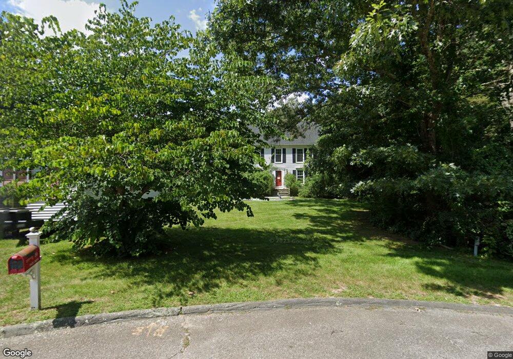
10 Daisy Dr Norfolk, MA 02056
Estimated Value: $692,000 - $833,000
3
Beds
2
Baths
1,919
Sq Ft
$386/Sq Ft
Est. Value
About This Home
This home is located at 10 Daisy Dr, Norfolk, MA 02056 and is currently estimated at $740,551, approximately $385 per square foot. 10 Daisy Dr is a home located in Norfolk County with nearby schools including H. Olive Day School, Freeman-Kennedy School, and Blessed Sacrament School.
Ownership History
Date
Name
Owned For
Owner Type
Purchase Details
Closed on
Sep 7, 1984
Bought by
Curtis Ralph W and Curtis Roberta M
Current Estimated Value
Create a Home Valuation Report for This Property
The Home Valuation Report is an in-depth analysis detailing your home's value as well as a comparison with similar homes in the area
Home Values in the Area
Average Home Value in this Area
Purchase History
| Date | Buyer | Sale Price | Title Company |
|---|---|---|---|
| Curtis Ralph W | $144,000 | -- |
Source: Public Records
Mortgage History
| Date | Status | Borrower | Loan Amount |
|---|---|---|---|
| Closed | Curtis Ralph W | $35,000 | |
| Closed | Curtis Ralph W | $129,500 | |
| Closed | Curtis Ralph W | $110,000 |
Source: Public Records
Tax History
| Year | Tax Paid | Tax Assessment Tax Assessment Total Assessment is a certain percentage of the fair market value that is determined by local assessors to be the total taxable value of land and additions on the property. | Land | Improvement |
|---|---|---|---|---|
| 2025 | $9,809 | $614,200 | $245,900 | $368,300 |
| 2024 | $4,680 | $300,600 | $245,900 | $54,700 |
| 2023 | $8,763 | $534,000 | $245,900 | $288,100 |
| 2022 | $8,376 | $460,200 | $230,500 | $229,700 |
| 2021 | $8,087 | $449,500 | $223,900 | $225,600 |
| 2020 | $7,607 | $408,100 | $204,100 | $204,000 |
| 2019 | $7,358 | $402,300 | $204,100 | $198,200 |
| 2018 | $7,165 | $384,800 | $204,100 | $180,700 |
| 2017 | $7,053 | $387,100 | $204,100 | $183,000 |
| 2016 | $7,261 | $401,600 | $211,800 | $189,800 |
| 2015 | $6,910 | $391,300 | $199,200 | $192,100 |
| 2014 | $6,789 | $389,500 | $199,200 | $190,300 |
Source: Public Records
Map
Nearby Homes
- 12 Brookside Ln
- 533 Lincoln Rd
- 27 Thomas Mann Cir Unit 18
- 1187 West St
- 26 Thomas Mann Cir Unit 37
- 37 Thomas Mann Cir Unit 23
- 92 Seekonk St
- 44 Thomas Mann Cir Unit 40
- 45 Thomas Mann Cir Unit 27
- 49 Thomas Mann Cir Unit 29
- 53 Thomas Mann Cir Unit 31
- 63 Thomas Mann Cir Unit 36
- 35 Thomas Mann Cir Unit 22
- 465 Lincoln Rd
- 10 Stop River Rd
- 4 Haydn Ln
- 195 Lincoln Rd
- 33 Boydes Crossing Unit 33
- 33 Boydes Crossing
- 30 Snyder Rd
Your Personal Tour Guide
Ask me questions while you tour the home.