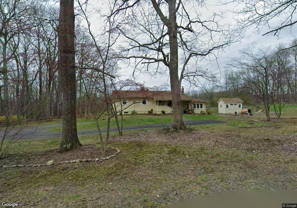
10 Dalrymple Rd Branchville, NJ 07826
Estimated Value: $337,000 - $403,000
--
Bed
--
Bath
1,104
Sq Ft
$334/Sq Ft
Est. Value
About This Home
This home is located at 10 Dalrymple Rd, Branchville, NJ 07826 and is currently estimated at $368,456, approximately $333 per square foot. 10 Dalrymple Rd is a home located in Sussex County with nearby schools including Frankford Township School and High Point Regional High School.
Ownership History
Date
Name
Owned For
Owner Type
Purchase Details
Closed on
Oct 7, 2010
Sold by
Paulison Muriel
Bought by
Sapio Stephanie
Current Estimated Value
Home Financials for this Owner
Home Financials are based on the most recent Mortgage that was taken out on this home.
Original Mortgage
$136,000
Outstanding Balance
$89,837
Interest Rate
4.37%
Mortgage Type
New Conventional
Estimated Equity
$278,619
Purchase Details
Closed on
Apr 10, 2002
Sold by
Paulison Muriel
Bought by
Paulison Muriel
Create a Home Valuation Report for This Property
The Home Valuation Report is an in-depth analysis detailing your home's value as well as a comparison with similar homes in the area
Home Values in the Area
Average Home Value in this Area
Purchase History
| Date | Buyer | Sale Price | Title Company |
|---|---|---|---|
| Sapio Stephanie | $170,000 | Fidelity Natl Title Ins Co | |
| Paulison Muriel | -- | -- |
Source: Public Records
Mortgage History
| Date | Status | Borrower | Loan Amount |
|---|---|---|---|
| Open | Sapio Stephanie | $136,000 |
Source: Public Records
Tax History Compared to Growth
Tax History
| Year | Tax Paid | Tax Assessment Tax Assessment Total Assessment is a certain percentage of the fair market value that is determined by local assessors to be the total taxable value of land and additions on the property. | Land | Improvement |
|---|---|---|---|---|
| 2025 | $5,306 | $178,400 | $90,300 | $88,100 |
| 2024 | $5,147 | $178,400 | $90,300 | $88,100 |
| 2023 | $5,147 | $178,400 | $90,300 | $88,100 |
| 2022 | $5,022 | $178,400 | $90,300 | $88,100 |
| 2021 | $4,870 | $178,400 | $90,300 | $88,100 |
| 2020 | $4,731 | $178,400 | $90,300 | $88,100 |
| 2019 | $4,597 | $178,400 | $90,300 | $88,100 |
| 2018 | $4,555 | $178,400 | $90,300 | $88,100 |
| 2017 | $4,539 | $178,400 | $90,300 | $88,100 |
| 2016 | $4,596 | $178,400 | $90,300 | $88,100 |
| 2015 | $4,572 | $178,400 | $90,300 | $88,100 |
| 2014 | $4,678 | $178,400 | $90,300 | $88,100 |
Source: Public Records
Map
Nearby Homes
- 19 Dalrymple Rd
- 83 Hyatt Rd
- 305 Wykertown Rd
- 10 Pidgeon Hill Rd
- 2 Estate Dr
- 51 Pidgeon Hill Rd
- 18 High Ridge Ln
- 99 Phillips Rd
- 00 Pidgeon Hill Rd
- 80, 82 George Hill Rd
- 216 Mattison Reservoir Ave
- 220 Mattison Reservoir Ave
- 333 County Rd 565
- 19 Card Rd
- 605 County Road 565
- 26 Dickerson Rd
- 0 Beaver Run Rd
- 64 Mattison Rd
- 00 University Ln
- 7 Newman Rd
- 6 Dalrymple Rd
- 5 Dalrymple Rd
- 11 Dalrymple Rd
- 13 Dalrymple Rd
- 3 Dalrymple Rd
- 15 Dalrymple Rd
- 36 Haggerty Rd
- 17 Dalrymple Rd
- 38 Haggerty Rd
- 27 Haggerty Rd
- 42 Haggerty Rd
- 40 Haggerty Rd
- 18 Dalrymple Rd
- 20 Dalrymple Rd
- 21 Dalrymple Rd
- 23 Dalrymple Rd
- 46 Haggerty Rd
- 25 Dalrymple Rd
- 26 Dalrymple Rd
- 8 Little Rd