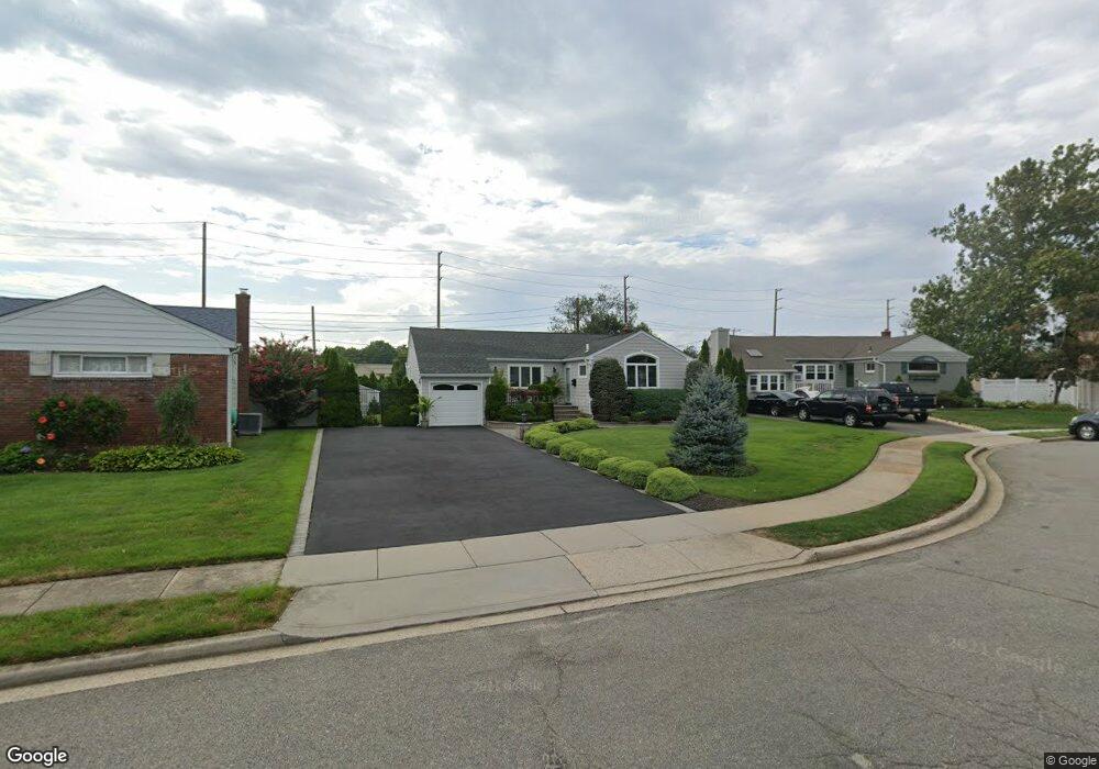
10 Daniel Rd N Massapequa, NY 11758
Estimated Value: $712,000 - $736,438
3
Beds
2
Baths
1,213
Sq Ft
$597/Sq Ft
Est. Value
About This Home
This home is located at 10 Daniel Rd N, Massapequa, NY 11758 and is currently estimated at $724,219, approximately $597 per square foot. 10 Daniel Rd N is a home located in Nassau County with nearby schools including Eastplain School, Plainedge Middle School, and Plainedge Senior High School.
Ownership History
Date
Name
Owned For
Owner Type
Purchase Details
Closed on
Jan 29, 2020
Sold by
Kane Daniel D
Bought by
Timpano Marc Eamon and Perone Gabrielle Dawn
Current Estimated Value
Home Financials for this Owner
Home Financials are based on the most recent Mortgage that was taken out on this home.
Original Mortgage
$400,000
Outstanding Balance
$354,172
Interest Rate
3.6%
Mortgage Type
New Conventional
Estimated Equity
$370,047
Purchase Details
Closed on
Sep 14, 2006
Sold by
Finocchio Joseph P
Purchase Details
Closed on
Dec 16, 1996
Create a Home Valuation Report for This Property
The Home Valuation Report is an in-depth analysis detailing your home's value as well as a comparison with similar homes in the area
Home Values in the Area
Average Home Value in this Area
Purchase History
| Date | Buyer | Sale Price | Title Company |
|---|---|---|---|
| Timpano Marc Eamon | $540,000 | Stewart Title | |
| -- | $410,000 | -- | |
| -- | -- | -- |
Source: Public Records
Mortgage History
| Date | Status | Borrower | Loan Amount |
|---|---|---|---|
| Open | Timpano Marc Eamon | $400,000 |
Source: Public Records
Tax History Compared to Growth
Tax History
| Year | Tax Paid | Tax Assessment Tax Assessment Total Assessment is a certain percentage of the fair market value that is determined by local assessors to be the total taxable value of land and additions on the property. | Land | Improvement |
|---|---|---|---|---|
| 2025 | $11,862 | $430 | $263 | $167 |
| 2024 | $3,381 | $449 | $275 | $174 |
| 2023 | $11,694 | $471 | $301 | $170 |
| 2022 | $11,694 | $471 | $301 | $170 |
| 2021 | $10,970 | $451 | $288 | $163 |
| 2020 | $11,664 | $473 | $421 | $52 |
| 2019 | $2,913 | $506 | $422 | $84 |
| 2018 | $5,861 | $540 | $0 | $0 |
| 2017 | $5,861 | $574 | $425 | $149 |
| 2016 | $8,814 | $608 | $407 | $201 |
| 2015 | $2,927 | $642 | $430 | $212 |
| 2014 | $2,927 | $642 | $430 | $212 |
| 2013 | $2,792 | $672 | $450 | $222 |
Source: Public Records
Map
Nearby Homes
- 68 Thorne Ave
- 4129 Duff Place
- 3 Brewster Gate
- 408 Briarwood Rd
- 580 Heathcliff Dr
- 4042 Old Post Rd
- 31 Poplar St
- 41 Poplar St
- 3 Rutland Rd
- 3980 Kingsberry Rd
- 647 Seamans Neck Rd
- 6 Regal Ln
- 3805 Colonial Ct
- 2 Rose Dr
- 17 Rural Ln
- 345 N Wisconsin Ave
- 3977 Wellwood Rd
- 4195 Florence Rd
- 331 N Michigan Ave
- 9 Redwood Ln