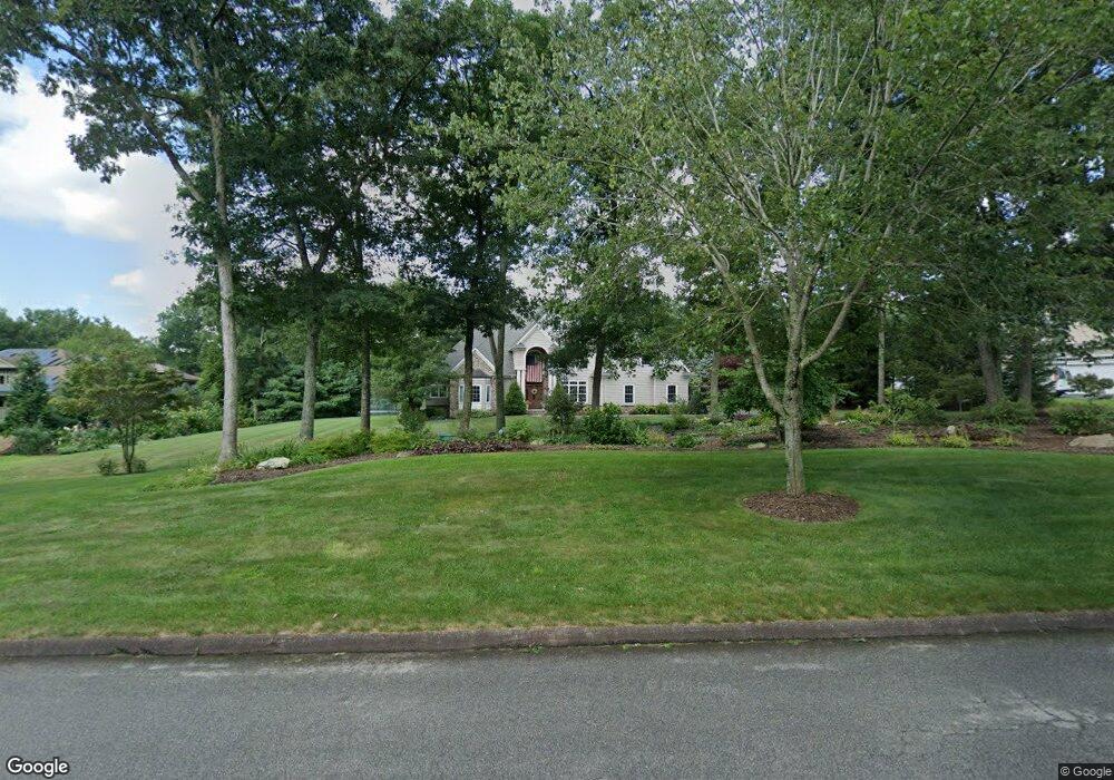
10 Darrows Ridge East Lyme, CT 06333
Estimated Value: $837,000 - $1,203,000
4
Beds
4
Baths
3,715
Sq Ft
$284/Sq Ft
Est. Value
About This Home
This home is located at 10 Darrows Ridge, East Lyme, CT 06333 and is currently estimated at $1,056,698, approximately $284 per square foot. 10 Darrows Ridge is a home located in New London County with nearby schools including East Lyme Middle School, East Lyme High School, and Carelot Children's Center - East Lyme.
Ownership History
Date
Name
Owned For
Owner Type
Purchase Details
Closed on
Feb 17, 2011
Sold by
Walker Wayne C
Bought by
Walker Olga G
Current Estimated Value
Purchase Details
Closed on
Jun 24, 2005
Sold by
Niantic Re Llc
Bought by
Walker Wayne and Walker Olga
Create a Home Valuation Report for This Property
The Home Valuation Report is an in-depth analysis detailing your home's value as well as a comparison with similar homes in the area
Home Values in the Area
Average Home Value in this Area
Purchase History
| Date | Buyer | Sale Price | Title Company |
|---|---|---|---|
| Walker Olga G | -- | -- | |
| Walker Wayne | $250,000 | -- |
Source: Public Records
Mortgage History
| Date | Status | Borrower | Loan Amount |
|---|---|---|---|
| Closed | Walker Wayne | $581,000 | |
| Closed | Walker Wayne | $175,000 | |
| Previous Owner | Walker Wayne | $230,000 |
Source: Public Records
Tax History Compared to Growth
Tax History
| Year | Tax Paid | Tax Assessment Tax Assessment Total Assessment is a certain percentage of the fair market value that is determined by local assessors to be the total taxable value of land and additions on the property. | Land | Improvement |
|---|---|---|---|---|
| 2025 | $17,064 | $609,210 | $184,380 | $424,830 |
| 2024 | $16,053 | $609,210 | $184,380 | $424,830 |
| 2023 | $15,157 | $609,210 | $184,380 | $424,830 |
| 2022 | $14,524 | $609,210 | $184,380 | $424,830 |
| 2021 | $14,471 | $507,570 | $178,010 | $329,560 |
| 2020 | $14,395 | $507,570 | $178,010 | $329,560 |
| 2019 | $14,308 | $507,570 | $178,010 | $329,560 |
| 2018 | $13,882 | $507,570 | $178,010 | $329,560 |
| 2017 | $13,278 | $507,570 | $178,010 | $329,560 |
| 2016 | $12,297 | $484,890 | $165,270 | $319,620 |
| 2015 | $11,982 | $484,890 | $165,270 | $319,620 |
| 2014 | $11,652 | $484,890 | $165,270 | $319,620 |
Source: Public Records
Map
Nearby Homes
- 0 Chesterfield Rd
- 15 Rocco Dr
- 29 Rocco Dr
- 43 Mayfield Terrace
- 48 Quailcrest Rd
- 57 Walnut Hill Rd
- 11 Mountain View Rd
- 12 Brookfield Dr
- 1 Hathaway Rd
- 14 Irvingdell Place
- 0 Cedarbrook Ln Unit 24110327
- 5 Farm Meadow Rd
- 210 Butlertown Rd
- 10 Filosi Rd
- 18 Sandpiper Ln
- 32 Upper Pattagansett Rd Unit 8
- 3 Farm Meadow Rd
- 231 Boston Post Rd Unit 9
- 33 Arbor Crossing
- 20 Sunrise Trail
- 12 Darrows Ridge
- 8 Darrows Ridge
- 14 Darrows Ridge Rd
- 14 Darrows Ridge
- 3 Darrows Ridge
- 16 Darrows Ridge
- 16 Darrows Ridge Rd
- 5 Darrows Ridge
- 1 Darrows Ridge
- 4 Darrows Ridge
- 18 Darrows Ridge
- 7 Darrows Ridge
- 20 Darrows Ridge
- 70 Mostowy Rd
- 248 Chesterfield Rd
- 22 Darrows Ridge
- 9 Darrows Ridge
- 9 Darrows Ridge Rd
- 252 Chesterfield Rd
- 1 Darrows Ct