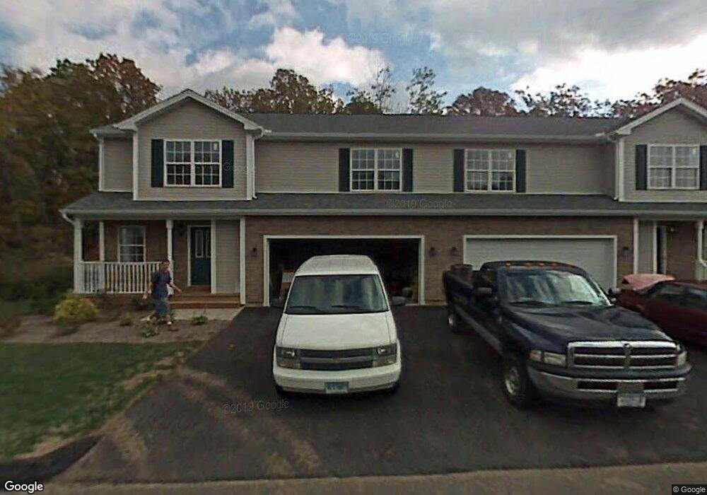
10 Deer Path Rocky Hill, CT 06067
Estimated Value: $497,000 - $552,000
3
Beds
3
Baths
1,690
Sq Ft
$310/Sq Ft
Est. Value
About This Home
This home is located at 10 Deer Path, Rocky Hill, CT 06067 and is currently estimated at $524,263, approximately $310 per square foot. 10 Deer Path is a home located in Hartford County with nearby schools including Albert D. Griswold Middle School and Rocky Hill High School.
Ownership History
Date
Name
Owned For
Owner Type
Purchase Details
Closed on
Dec 7, 2007
Sold by
Lgm Bt Rocky Hill Lp
Bought by
Ravat Rupal B and Ravat Bhaskar
Current Estimated Value
Home Financials for this Owner
Home Financials are based on the most recent Mortgage that was taken out on this home.
Original Mortgage
$273,600
Interest Rate
6.37%
Create a Home Valuation Report for This Property
The Home Valuation Report is an in-depth analysis detailing your home's value as well as a comparison with similar homes in the area
Home Values in the Area
Average Home Value in this Area
Purchase History
| Date | Buyer | Sale Price | Title Company |
|---|---|---|---|
| Ravat Rupal B | $342,000 | -- | |
| Ravat Rupal B | $342,000 | -- |
Source: Public Records
Mortgage History
| Date | Status | Borrower | Loan Amount |
|---|---|---|---|
| Open | Ravat Rupal B | $54,000 | |
| Open | Ravat Rupal B | $267,600 | |
| Closed | Ravat Rupal B | $273,600 | |
| Closed | Ravat Rupal B | $25,000 |
Source: Public Records
Tax History
| Year | Tax Paid | Tax Assessment Tax Assessment Total Assessment is a certain percentage of the fair market value that is determined by local assessors to be the total taxable value of land and additions on the property. | Land | Improvement |
|---|---|---|---|---|
| 2025 | $8,884 | $293,790 | $0 | $293,790 |
| 2024 | $8,570 | $293,790 | $0 | $293,790 |
| 2023 | $7,458 | $207,620 | $0 | $207,620 |
| 2022 | $7,167 | $207,620 | $0 | $207,620 |
| 2021 | $7,080 | $207,620 | $0 | $207,620 |
| 2020 | $6,976 | $207,620 | $0 | $207,620 |
| 2019 | $6,748 | $207,620 | $0 | $207,620 |
| 2018 | $6,727 | $207,620 | $0 | $207,620 |
| 2017 | $6,561 | $207,620 | $0 | $207,620 |
| 2016 | $6,436 | $207,620 | $0 | $207,620 |
| 2015 | $6,166 | $207,620 | $0 | $207,620 |
| 2014 | $6,166 | $207,620 | $0 | $207,620 |
Source: Public Records
Map
Nearby Homes
- 302 Limner Cir Unit 302
- 124 Speno Ridge
- 163 Speno Ridge
- 583 France St
- 214 Woodfield Crossing
- 104 North Rd
- 395 France St
- 254 Sunset Ridge
- 0 Country Ct Unit 137 24077628
- 634 New Britain Ave
- 110 Coles Rd
- 39 Denyelle Dr Unit 39
- 4 N Ridge Dr
- 9 Dogwood Ct
- 159 Evergreen Rd
- 127 Woodland Dr
- 92 Woodland Dr Unit 92
- 34 Woodsboro Cir Unit 34
- 55 Cortland Way Unit 55
- 43 Sunridge Ln
Your Personal Tour Guide
Ask me questions while you tour the home.