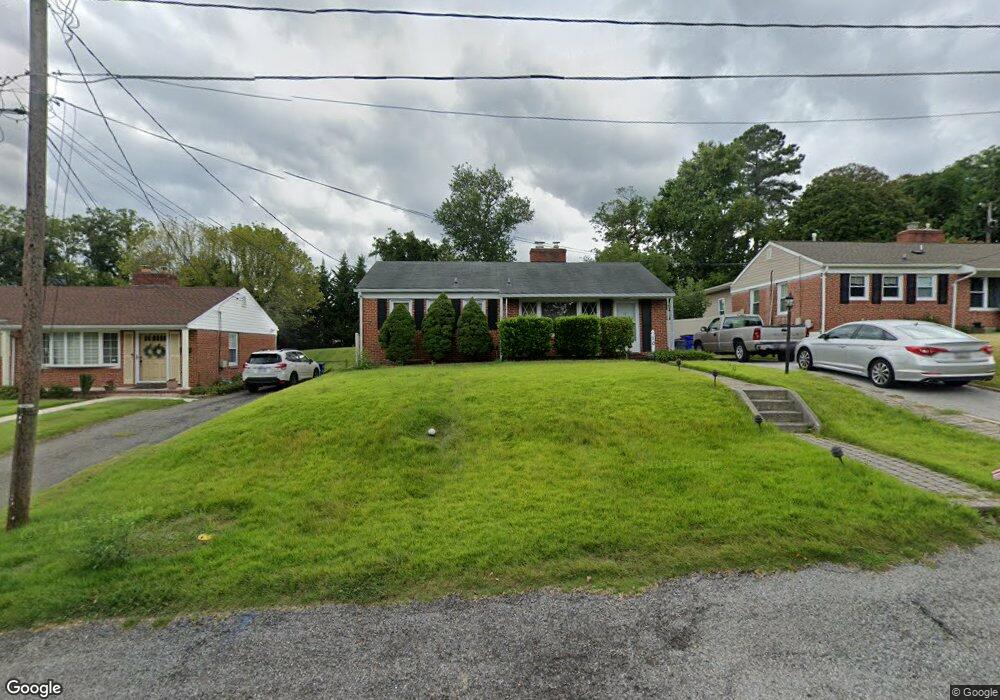
10 Delrey Ave Catonsville, MD 21228
Estimated Value: $363,000 - $404,000
--
Bed
1
Bath
960
Sq Ft
$392/Sq Ft
Est. Value
About This Home
This home is located at 10 Delrey Ave, Catonsville, MD 21228 and is currently estimated at $376,297, approximately $391 per square foot. 10 Delrey Ave is a home located in Baltimore County with nearby schools including Catonsville Elementary School, Arbutus Middle School, and Catonsville High School.
Ownership History
Date
Name
Owned For
Owner Type
Purchase Details
Closed on
Dec 28, 2007
Sold by
Tier Rose G
Bought by
Grochmal Paul J and Lancelotta Katherine E
Current Estimated Value
Home Financials for this Owner
Home Financials are based on the most recent Mortgage that was taken out on this home.
Original Mortgage
$204,000
Outstanding Balance
$129,505
Interest Rate
6.27%
Mortgage Type
Purchase Money Mortgage
Estimated Equity
$246,792
Purchase Details
Closed on
Dec 14, 2007
Sold by
Tier Rose G
Bought by
Grochmal Paul J and Lancelotta Katherine E
Home Financials for this Owner
Home Financials are based on the most recent Mortgage that was taken out on this home.
Original Mortgage
$204,000
Outstanding Balance
$129,505
Interest Rate
6.27%
Mortgage Type
Purchase Money Mortgage
Estimated Equity
$246,792
Create a Home Valuation Report for This Property
The Home Valuation Report is an in-depth analysis detailing your home's value as well as a comparison with similar homes in the area
Home Values in the Area
Average Home Value in this Area
Purchase History
| Date | Buyer | Sale Price | Title Company |
|---|---|---|---|
| Grochmal Paul J | $255,000 | -- | |
| Grochmal Paul J | $255,000 | -- |
Source: Public Records
Mortgage History
| Date | Status | Borrower | Loan Amount |
|---|---|---|---|
| Open | Grochmal Paul J | $204,000 | |
| Closed | Grochmal Paul J | $204,000 |
Source: Public Records
Tax History Compared to Growth
Tax History
| Year | Tax Paid | Tax Assessment Tax Assessment Total Assessment is a certain percentage of the fair market value that is determined by local assessors to be the total taxable value of land and additions on the property. | Land | Improvement |
|---|---|---|---|---|
| 2025 | $3,787 | $288,267 | -- | -- |
| 2024 | $3,787 | $271,000 | $92,200 | $178,800 |
| 2023 | $1,859 | $268,500 | $0 | $0 |
| 2022 | $3,639 | $266,000 | $0 | $0 |
| 2021 | $3,433 | $263,500 | $92,200 | $171,300 |
| 2020 | $3,607 | $253,367 | $0 | $0 |
| 2019 | $3,528 | $243,233 | $0 | $0 |
| 2018 | $3,390 | $233,100 | $92,200 | $140,900 |
| 2017 | $2,964 | $221,100 | $0 | $0 |
| 2016 | $3,119 | $209,100 | $0 | $0 |
| 2015 | $3,119 | $197,100 | $0 | $0 |
| 2014 | $3,119 | $197,100 | $0 | $0 |
Source: Public Records
Map
Nearby Homes
- 14 Glenwood Ave
- 36 Darrow Dr
- 214 Shady Nook Ct
- 19 Dunmore Rd
- 72 N Prospect Ave
- 6618 Altamont Ave
- 38A Winters Ln
- 42 Winters Ln
- 518 Ingleside Ave
- 3 Arthur Ave
- 19 Somerset Rd
- 312 Small Ct
- 509 Valcour Rd
- 49 Briarwood Rd
- 322 Whitfield Rd
- 429 Lafayette Ave
- 6142 Regent Park Rd
- 325 Whitfield Rd
- 905 Woodsdale Rd
- 16 Locust Dr
- 12 Delrey Ave
- 8 Delrey Ave
- 14H Delrey Ave
- 14 Delrey Ave Unit H
- 14 Delrey Ave
- 5 Delrey Ave
- 6 Delrey Ave
- 3 Delrey Ave
- 9A Delrey Ave
- 11 Saint Timothys Ln
- 16 Glenwood Ave
- 13 Saint Timothys Ln
- 18 Glenwood Ave
- 16 Delrey Ave
- 12 Glenwood Ave
- 9 Delrey Ave
- 2 Delrey Ave
- 500 Frederick Rd
- 7 Saint Timothys Ln
- 15 Saint Timothys Ln