10 Depot Rd Bourne, MA 2532
Cataumet NeighborhoodEstimated Value: $1,391,000 - $1,579,000
5
Beds
6
Baths
4,223
Sq Ft
$352/Sq Ft
Est. Value
About This Home
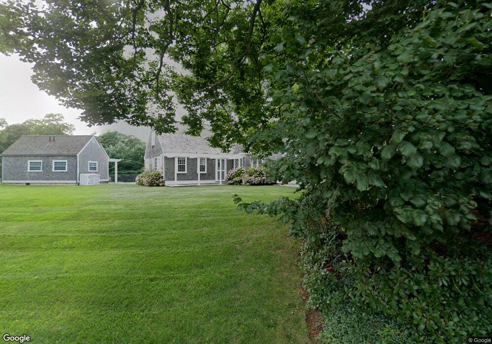
This home is located at 10 Depot Rd, Bourne, MA 2532 and is currently estimated at $1,485,000, approximately $351 per square foot. 10 Depot Rd is a home located in Barnstable County with nearby schools including Bourne High School, Cadence Academy Preschool - Bourne, and Heritage Christian Academy.
Create a Home Valuation Report for This Property
The Home Valuation Report is an in-depth analysis detailing your home's value as well as a comparison with similar homes in the area
Home Values in the Area
Average Home Value in this Area
Tax History
| Year | Tax Paid | Tax Assessment Tax Assessment Total Assessment is a certain percentage of the fair market value that is determined by local assessors to be the total taxable value of land and additions on the property. | Land | Improvement |
|---|---|---|---|---|
| 2025 | $13,352 | $1,709,600 | $526,700 | $1,182,900 |
| 2024 | $13,797 | $1,720,300 | $501,600 | $1,218,700 |
| 2023 | $13,430 | $1,524,400 | $444,000 | $1,080,400 |
| 2022 | $14,841 | $1,470,900 | $471,500 | $999,400 |
| 2021 | $14,436 | $1,340,400 | $428,800 | $911,600 |
| 2020 | $14,196 | $1,321,800 | $424,900 | $896,900 |
| 2019 | $13,375 | $1,272,600 | $424,900 | $847,700 |
| 2018 | $12,870 | $1,221,100 | $404,900 | $816,200 |
| 2017 | $12,593 | $1,222,600 | $414,400 | $808,200 |
| 2016 | $12,045 | $1,185,500 | $414,400 | $771,100 |
| 2015 | $11,669 | $1,158,800 | $387,700 | $771,100 |
Source: Public Records
Map
Nearby Homes
- 48 Red Brook Harbor Rd
- 1234 Route 28a
- 1234 Route 28a
- 15 Oak Ave
- 31 Baxendale Rd
- 75 Winsor Rd
- 16 Michael Rd
- 289 Old Main Rd
- 254 Barlows Landing Rd
- 3 4th Ave
- 7 4th Ave
- 709 County Rd
- 28 Nathan Ellis Hwy
- 3 1st St
- 14 Navajo Rd
- 14 Ryder Rd
- 393 N Falmouth Hwy Unit 8
- 209 Waterside Dr
- 91 Wickertree Rd
- 10 Rockledge Dr
Your Personal Tour Guide
Ask me questions while you tour the home.