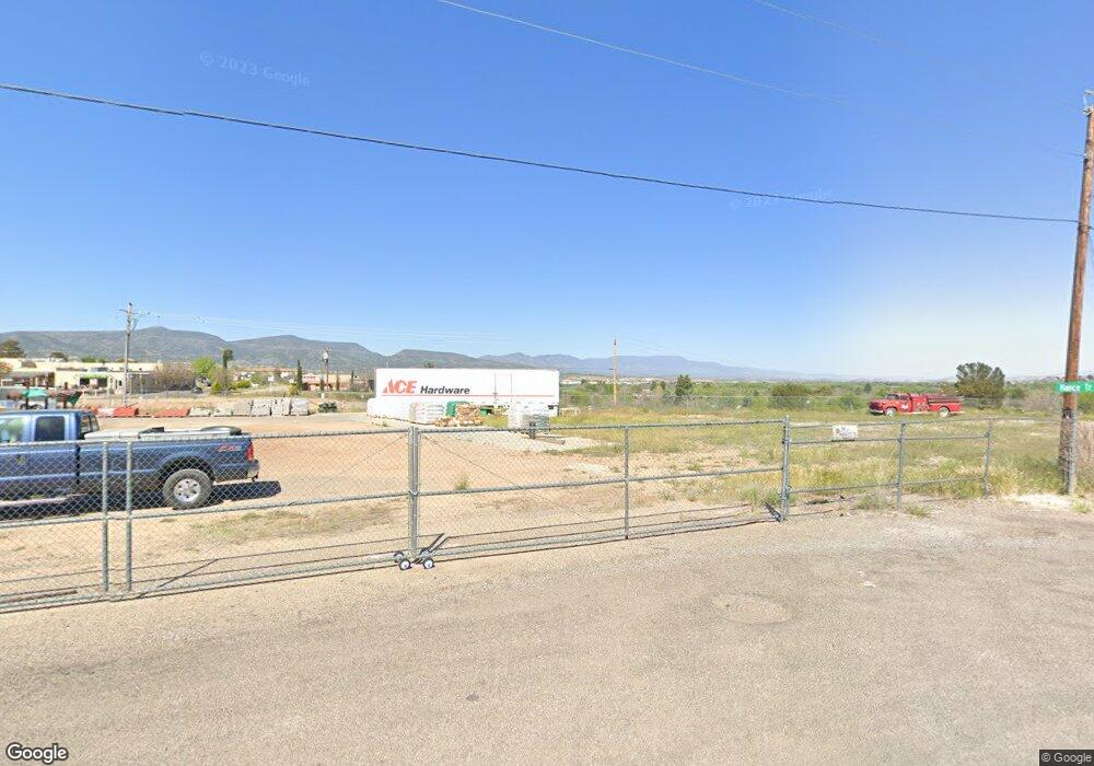
10 E Hance St Camp Verde, AZ 86322
Estimated Value: $175,000
Studio
--
Bath
--
Sq Ft
22,216
Sq Ft
About This Home
This home is located at 10 E Hance St, Camp Verde, AZ 86322 and is currently priced at $175,000. 10 E Hance St is a home located in Yavapai County with nearby schools including Camp Verde Elementary School, Camp Verde Middle School, and Camp Verde High School.
Ownership History
Date
Name
Owned For
Owner Type
Purchase Details
Closed on
Oct 31, 2018
Sold by
Mcreynolds John and Mcreynolds Margaret
Bought by
Land Of The Rottens Llc
Current Estimated Value
Home Financials for this Owner
Home Financials are based on the most recent Mortgage that was taken out on this home.
Original Mortgage
$87,750
Outstanding Balance
$77,007
Interest Rate
4.8%
Mortgage Type
Commercial
Purchase Details
Closed on
Sep 2, 2009
Sold by
Stanleys Farm & Home Supply Incorporated
Bought by
James A Stanley Family Revocable Trust
Purchase Details
Closed on
Aug 16, 2002
Sold by
Farman Joan and The Farman Family Trust
Bought by
Stanleys Farm & Home Supply Inc
Purchase Details
Closed on
May 15, 1995
Sold by
Farman Joan
Bought by
Farman Philip Charles and Farman Joan
Create a Home Valuation Report for This Property
The Home Valuation Report is an in-depth analysis detailing your home's value as well as a comparison with similar homes in the area
Home Values in the Area
Average Home Value in this Area
Purchase History
| Date | Buyer | Sale Price | Title Company |
|---|---|---|---|
| Land Of The Rottens Llc | $135,000 | Yavapai Title | |
| James A Stanley Family Revocable Trust | $66,887 | None Available | |
| Stanleys Farm & Home Supply Inc | $70,000 | Chicago Title Insurance Co | |
| Farman Philip Charles | -- | -- |
Source: Public Records
Mortgage History
| Date | Status | Borrower | Loan Amount |
|---|---|---|---|
| Open | Land Of The Rottens Llc | $87,750 |
Source: Public Records
Tax History
| Year | Tax Paid | Tax Assessment Tax Assessment Total Assessment is a certain percentage of the fair market value that is determined by local assessors to be the total taxable value of land and additions on the property. | Land | Improvement |
|---|---|---|---|---|
| 2026 | $775 | -- | -- | -- |
| 2024 | $789 | -- | -- | -- |
| 2023 | $789 | $12,758 | $12,758 | $0 |
| 2022 | $783 | $7,574 | $7,574 | $0 |
| 2021 | $820 | $7,574 | $7,574 | $0 |
| 2020 | $801 | $0 | $0 | $0 |
| 2019 | $792 | $0 | $0 | $0 |
| 2018 | $796 | $0 | $0 | $0 |
| 2017 | $930 | $0 | $0 | $0 |
| 2016 | $949 | $0 | $0 | $0 |
| 2015 | -- | $0 | $0 | $0 |
| 2014 | -- | $0 | $0 | $0 |
Source: Public Records
Map
Nearby Homes
- 102 W Arnold St
- 0 N Montezuma Heights Rd Unit 6934514
- 297 E Parade Ground Cir
- 0 Finnie Flat Rd Unit 532826
- 485 S Nichols St Unit 107
- 485 S Nichols St Unit 104
- 485 S Nichols St Unit 126
- 485 S Nichols St Unit 115
- 100 E Wee Hollow Dr
- 315 W Hereford Dr
- 103 W Head St
- 545 S Main St
- 67 E Goddard Ln
- 248 S River Cave Rd
- 621 S 1st St
- 621 S 1st St Unit 23-24
- 2375 S San Dominique Rd
- 615 S 3rd St
- 641 S 1st St
- 456 S Lone Peak Dr
Your Personal Tour Guide
Ask me questions while you tour the home.