10 E High St Franklin, NH 03235
Estimated Value: $253,000 - $276,000
About This Home
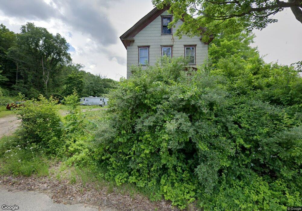
This home is located at 10 E High St, Franklin, NH 03235 and is currently estimated at $265,891, approximately $191 per square foot. 10 E High St is a home located in Merrimack County with nearby schools including Paul A. Smith School, Franklin Middle School, and Franklin High School.
Ownership History
We collect this data history from publicly available records. To have your information removed, we recommend requesting removal directly through your county’s website.
Purchase Details
Home Financials for this Owner
Home Financials are based on the most recent Mortgage that was taken out on this home.Home Values in the Area
Average Home Value in this Area
Purchase History
We collect this data history from publicly available records. To have your information removed, we recommend requesting removal directly through your county’s website.
| Date | Buyer | Sale Price | Title Company |
|---|---|---|---|
| $121,000 | -- | ||
| -- | -- |
Mortgage History
We collect this data history from publicly available records. To have your information removed, we recommend requesting removal directly through your county’s website.
| Date | Status | Borrower | Loan Amount |
|---|---|---|---|
| Open | $96,800 | ||
| Closed | $96,800 |
Tax History
We collect this data history from publicly available records. To have your information removed, we recommend requesting removal directly through your county’s website.
| Year | Tax Paid | Tax Assessment Tax Assessment Total Assessment is a certain percentage of the fair market value that is determined by local assessors to be the total taxable value of land and additions on the property. | Land | Improvement |
|---|---|---|---|---|
| 2025 | $2,794 | $158,500 | $72,700 | $85,800 |
| 2024 | $2,718 | $158,500 | $72,700 | $85,800 |
| 2023 | $2,577 | $158,500 | $72,700 | $85,800 |
| 2022 | $2,339 | $95,900 | $58,500 | $37,400 |
| 2021 | $2,226 | $95,900 | $58,500 | $37,400 |
| 2020 | $2,190 | $95,900 | $58,500 | $37,400 |
| 2019 | $2,155 | $95,900 | $58,500 | $37,400 |
| 2018 | $1,722 | $78,400 | $58,500 | $19,900 |
| 2017 | $1,646 | $64,400 | $23,100 | $41,300 |
| 2016 | $1,625 | $64,400 | $23,100 | $41,300 |
| 2015 | $1,589 | $63,700 | $16,170 | $47,530 |
| 2011 | $2,326 | $108,100 | $26,700 | $81,400 |
Map
- 43 Elkins St
- 29 Elkins St
- 11 Pine St
- 10 Beech St
- 29 Ayles Ct
- 359 Central St Unit 3
- 416 Central St
- 73 Evergreen Ave
- 107 W Bow St
- 62 Park St
- 69 Cheney St
- 160 S Main St
- 00 Terrace Rd Unit 6
- 12 Piper St
- 721 Central St
- 30 Cricket Hill Way
- 0 Rowell Dr Unit 406 5043422
- lot 24 Route 11
- 24 Munroe St Unit 1&2
- 324 Prospect St
Ask me questions while you tour the home.