10 Eastpoint Dr Hooksett, NH 03106
Estimated Value: $2,112,483
Studio
--
Bath
--
Sq Ft
3,263,080
Sq Ft Lot
About This Home
This home is located at 10 Eastpoint Dr, Hooksett, NH 03106 and is currently estimated at $2,112,483. 10 Eastpoint Dr is a home located in Merrimack County with nearby schools including Fred C. Underhill School, Hooksett Memorial School, and David R. Cawley Middle School.
Ownership History
Date
Name
Owned For
Owner Type
Purchase Details
Closed on
Nov 3, 2022
Sold by
Eastpoint Mzl Llc
Bought by
Thibodeau Enterprises Llc
Current Estimated Value
Home Financials for this Owner
Home Financials are based on the most recent Mortgage that was taken out on this home.
Original Mortgage
$1,056,250
Outstanding Balance
$1,018,623
Interest Rate
6.7%
Mortgage Type
Purchase Money Mortgage
Estimated Equity
$1,093,860
Purchase Details
Closed on
Jan 30, 2008
Sold by
Snopl Inc
Bought by
Ravinia Cold Storage L
Create a Home Valuation Report for This Property
The Home Valuation Report is an in-depth analysis detailing your home's value as well as a comparison with similar homes in the area
Home Values in the Area
Average Home Value in this Area
Purchase History
| Date | Buyer | Sale Price | Title Company |
|---|---|---|---|
| Thibodeau Enterprises Llc | $1,625,000 | None Available | |
| Ravinia Cold Storage L | $1,350,000 | -- |
Source: Public Records
Mortgage History
| Date | Status | Borrower | Loan Amount |
|---|---|---|---|
| Open | Thibodeau Enterprises Llc | $1,056,250 |
Source: Public Records
Tax History
| Year | Tax Paid | Tax Assessment Tax Assessment Total Assessment is a certain percentage of the fair market value that is determined by local assessors to be the total taxable value of land and additions on the property. | Land | Improvement |
|---|---|---|---|---|
| 2024 | $27,843 | $1,641,700 | $1,641,700 | $0 |
| 2023 | $26,234 | $1,641,700 | $1,641,700 | $0 |
| 2022 | $32,085 | $1,334,100 | $1,334,100 | $0 |
| 2021 | $29,644 | $1,334,100 | $1,334,100 | $0 |
| 2020 | $30,031 | $1,334,100 | $1,334,100 | $0 |
| 2019 | $28,750 | $1,334,100 | $1,334,100 | $0 |
| 2018 | $29,510 | $1,334,100 | $1,334,100 | $0 |
| 2017 | $31,149 | $1,164,900 | $1,164,900 | $0 |
| 2016 | $30,742 | $1,164,900 | $1,164,900 | $0 |
| 2015 | $28,796 | $1,164,900 | $1,164,900 | $0 |
| 2014 | $28,924 | $1,164,900 | $1,164,900 | $0 |
| 2013 | $27,352 | $1,164,900 | $1,164,900 | $0 |
Source: Public Records
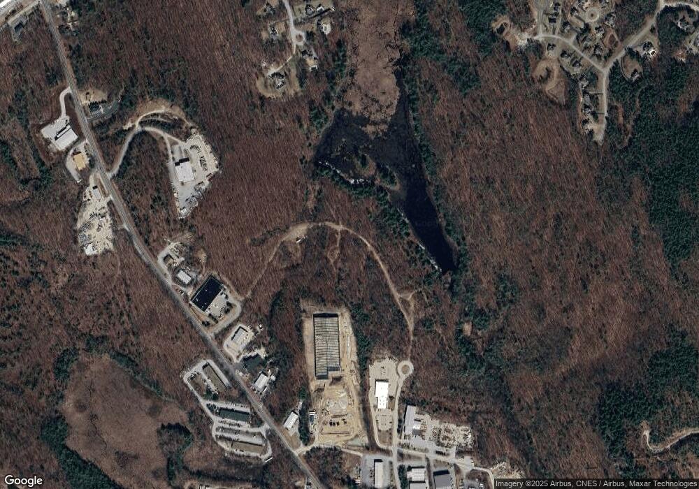
Map
Nearby Homes
- 15 Joanne Dr
- 14 Overlook Cir
- 146 Brookview Dr
- 191 Brookview Dr
- 135 Brookview Dr
- 22 Sunrise Cir
- 36 Prescott Heights Rd
- 13 Johns Dr
- 10 Harvard Ave
- 100 Dartmouth Dr
- 192 Londonderry Turnpike
- 80 Dartmouth Dr
- 41 Golden Gate Dr
- 1409 Wellington Rd
- 2079 Wellington Rd
- 543 Fox Hollow Way
- 6 Golden Gate Dr
- 408 Manchester Rd
- 50 Edward J Roy Dr Unit 10
- 66 Sunset Way
- 10 E Point Dr
- 108 Londonderry Turnpike
- 27 Cindy Dr
- 114 Londonderry Turnpike
- 114 Londonderry Turnpike Unit 5
- 114 Londonderry Turnpike Unit 4
- 125 Londonderry Turnpike
- 127 Londonderry Turnpike
- 28 Cindy Dr
- 25 Cindy Dr
- 131 Londonderry Turnpike
- 23 Cindy Dr
- 21 Cindy Dr
- 26 Cindy Dr
- 24 Cindy Dr
- 78 Londonderry Turnpike
- 135 Londonderry Turnpike
- 22 Cindy Dr
- 20 Cindy Dr
- 5 Joanne Dr
Your Personal Tour Guide
Ask me questions while you tour the home.