10 Elm Rd Fairmont, MN 56031
Estimated Value: $194,000 - $292,896
4
Beds
1
Bath
2,768
Sq Ft
$90/Sq Ft
Est. Value
About This Home
This home is located at 10 Elm Rd, Fairmont, MN 56031 and is currently estimated at $247,974, approximately $89 per square foot. 10 Elm Rd is a home located in Martin County with nearby schools including Granada Huntley East Chain Elementary School and Granada-Huntley East Chain Secondary School.
Ownership History
Date
Name
Owned For
Owner Type
Purchase Details
Closed on
Jul 26, 2012
Sold by
Mcconnell Glenndon R and Mcconnell David W
Bought by
Dallager James L
Current Estimated Value
Home Financials for this Owner
Home Financials are based on the most recent Mortgage that was taken out on this home.
Original Mortgage
$63,000
Outstanding Balance
$43,500
Interest Rate
3.6%
Mortgage Type
New Conventional
Estimated Equity
$204,474
Create a Home Valuation Report for This Property
The Home Valuation Report is an in-depth analysis detailing your home's value as well as a comparison with similar homes in the area
Home Values in the Area
Average Home Value in this Area
Purchase History
| Date | Buyer | Sale Price | Title Company |
|---|---|---|---|
| Dallager James L | $60,000 | None Available |
Source: Public Records
Mortgage History
| Date | Status | Borrower | Loan Amount |
|---|---|---|---|
| Open | Dallager James L | $63,000 |
Source: Public Records
Tax History Compared to Growth
Tax History
| Year | Tax Paid | Tax Assessment Tax Assessment Total Assessment is a certain percentage of the fair market value that is determined by local assessors to be the total taxable value of land and additions on the property. | Land | Improvement |
|---|---|---|---|---|
| 2025 | $3,772 | $270,800 | $38,900 | $231,900 |
| 2024 | $1,326 | $358,800 | $31,400 | $327,400 |
| 2023 | $1,186 | $133,100 | $31,400 | $101,700 |
| 2022 | $788 | $111,400 | $28,800 | $82,600 |
| 2021 | $882 | $71,400 | $17,200 | $54,200 |
| 2020 | $886 | $80,800 | $17,200 | $63,600 |
| 2019 | $1,004 | $71,400 | $14,000 | $57,400 |
| 2018 | $1,086 | $77,400 | $20,000 | $57,400 |
| 2017 | $856 | $41,600 | $9,905 | $31,695 |
| 2016 | $728 | $41,300 | $9,890 | $31,410 |
| 2015 | $691 | $41,300 | $9,890 | $31,410 |
| 2013 | $795 | $42,000 | $8,760 | $33,240 |
Source: Public Records
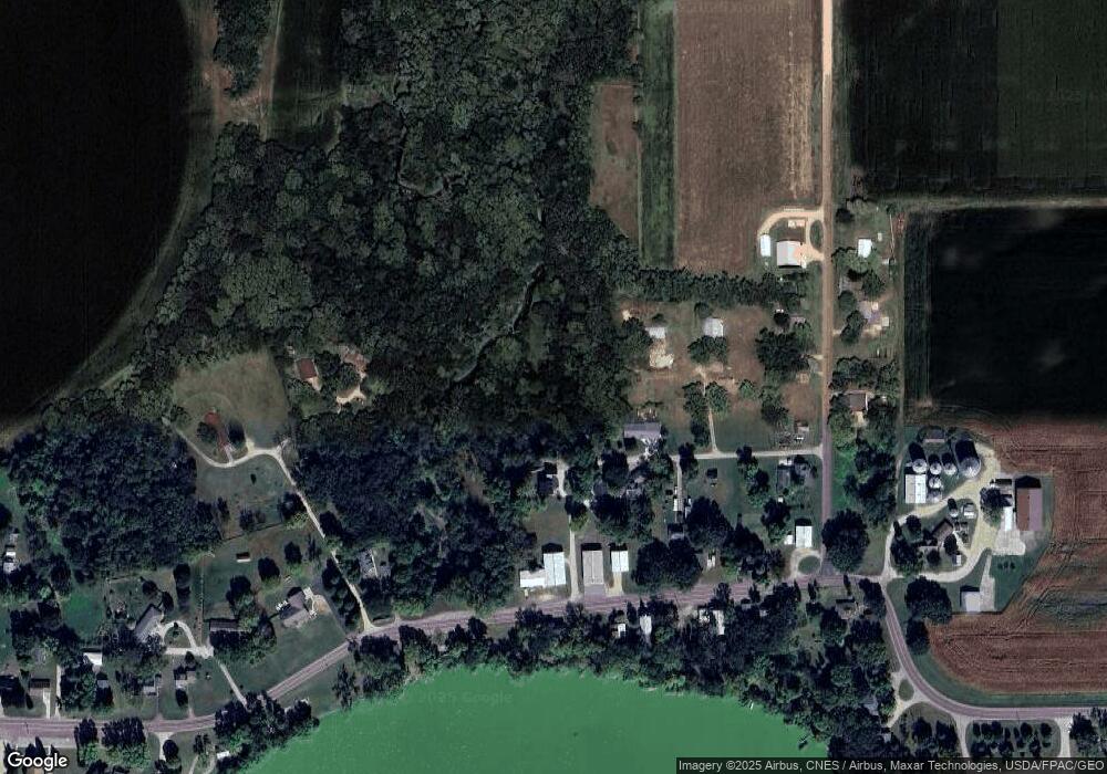
Map
Nearby Homes
- TBD 60th St
- 0 Xxx 60th St Unit LotWP001
- 775 200th Ave
- Lot 5 200th Ave
- Lot 1 200th Ave
- Lot 2 200th Ave
- Lot 3 200th Ave
- Lot 4 200th Ave
- Lot 6 200th Ave
- 1011 Iowa 15
- 2109 95th St
- 2214 Red Bird Ln
- 2218 Red Bird Ln
- 2224 Red Bird Ln
- 1581 Meadowlark Ln
- 2413 Albion Ave
- 1600 S Prairie Ave
- 1145 Horatio St
- 1315 Adams Ave
- 1108 1108 S State St