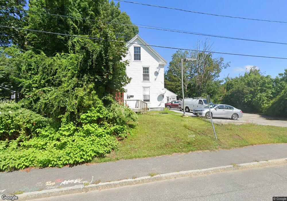
10 Elm St Freeport, ME 04032
Estimated Value: $587,000 - $715,000
2
Beds
2
Baths
2,061
Sq Ft
$306/Sq Ft
Est. Value
About This Home
This home is located at 10 Elm St, Freeport, ME 04032 and is currently estimated at $630,000, approximately $305 per square foot. 10 Elm St is a home with nearby schools including Morse Street School, Mast Landing School, and Freeport Middle School.
Create a Home Valuation Report for This Property
The Home Valuation Report is an in-depth analysis detailing your home's value as well as a comparison with similar homes in the area
Home Values in the Area
Average Home Value in this Area
Tax History Compared to Growth
Tax History
| Year | Tax Paid | Tax Assessment Tax Assessment Total Assessment is a certain percentage of the fair market value that is determined by local assessors to be the total taxable value of land and additions on the property. | Land | Improvement |
|---|---|---|---|---|
| 2024 | $4,698 | $351,900 | $189,800 | $162,100 |
| 2023 | $4,330 | $314,900 | $174,200 | $140,700 |
| 2022 | $4,044 | $296,300 | $155,600 | $140,700 |
| 2021 | $3,956 | $296,300 | $155,600 | $140,700 |
| 2020 | $24,210 | $272,100 | $144,000 | $128,100 |
| 2019 | $24,146 | $255,100 | $135,900 | $119,200 |
| 2018 | $22,330 | $226,900 | $122,100 | $104,800 |
| 2017 | $3,758 | $251,400 | $119,700 | $131,700 |
| 2016 | $3,626 | $229,500 | $104,200 | $125,300 |
| 2015 | $3,508 | $208,800 | $93,100 | $115,700 |
| 2014 | $3,233 | $204,600 | $93,100 | $111,500 |
| 2013 | $3,501 | $220,900 | $103,400 | $117,500 |
Source: Public Records
Map
Nearby Homes
- 1612 U S Route 1
- 212 Main St
- 15 Percy St
- 10 Durham Rd
- 11 Orchard Hill Rd
- 42 Durham Rd
- 26 Harvest Ridge Rd Unit 24
- 8 Statler Ln
- 304 Pownal Rd
- 1260 Us Route 1
- 15 Tinkers Way
- 143 Bragdon Rd
- 0 Prout Rd
- 4 Harper's Trail
- 137 Durham Rd
- 31 Allen Range Rd
- 34 Newfield Rd
- 1595 U S Route 1
- 42A Wardtown Rd
- 31 Sequoia Dr