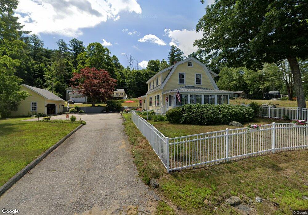
10 Fire Road 9 Strafford, NH 03884
Estimated Value: $470,392 - $616,000
2
Beds
1
Bath
1,040
Sq Ft
$534/Sq Ft
Est. Value
About This Home
This home is located at 10 Fire Road 9, Strafford, NH 03884 and is currently estimated at $555,098, approximately $533 per square foot. 10 Fire Road 9 is a home located in Strafford County with nearby schools including Strafford School and Coe-Brown Northwood Academy.
Ownership History
Date
Name
Owned For
Owner Type
Purchase Details
Closed on
Nov 24, 2008
Sold by
Roberto Joseph and Roberto Clara Jane
Bought by
Hale Robert C and Hale Madeline E
Current Estimated Value
Home Financials for this Owner
Home Financials are based on the most recent Mortgage that was taken out on this home.
Original Mortgage
$142,400
Outstanding Balance
$91,680
Interest Rate
6.03%
Mortgage Type
Purchase Money Mortgage
Estimated Equity
$463,418
Create a Home Valuation Report for This Property
The Home Valuation Report is an in-depth analysis detailing your home's value as well as a comparison with similar homes in the area
Home Values in the Area
Average Home Value in this Area
Purchase History
| Date | Buyer | Sale Price | Title Company |
|---|---|---|---|
| Hale Robert C | $178,000 | -- | |
| Hale Robert C | $178,000 | -- |
Source: Public Records
Mortgage History
| Date | Status | Borrower | Loan Amount |
|---|---|---|---|
| Open | Hale Robert C | $142,400 | |
| Closed | Hale Robert C | $142,400 |
Source: Public Records
Tax History
| Year | Tax Paid | Tax Assessment Tax Assessment Total Assessment is a certain percentage of the fair market value that is determined by local assessors to be the total taxable value of land and additions on the property. | Land | Improvement |
|---|---|---|---|---|
| 2024 | $6,825 | $345,400 | $107,000 | $238,400 |
| 2023 | $6,438 | $345,400 | $107,000 | $238,400 |
| 2022 | $5,917 | $345,400 | $107,000 | $238,400 |
| 2021 | $6,376 | $345,400 | $107,000 | $238,400 |
| 2020 | $5,943 | $231,700 | $84,500 | $147,200 |
| 2019 | $5,438 | $231,700 | $84,500 | $147,200 |
| 2018 | $5,475 | $231,700 | $84,500 | $147,200 |
| 2016 | $4,924 | $231,700 | $84,500 | $147,200 |
| 2015 | $5,418 | $248,400 | $102,500 | $145,900 |
| 2014 | $5,753 | $248,400 | $102,500 | $145,900 |
| 2013 | $5,634 | $248,400 | $102,500 | $145,900 |
| 2012 | $5,526 | $246,900 | $102,500 | $144,400 |
Source: Public Records
Map
Nearby Homes
- Map 3 Lot 18-2b and 18-2c Water St
- 133 & 137 Browns Pasture Rd
- M37 L40 Beaver Rd
- 8 Byrne Rd
- 16 Fox Cross Ln
- 360 1st New Hampshire Turnpike
- 641 & 647 First nh Turnpike
- 617 1st New Hampshire Turnpike Unit 9
- Map 219 Lot 6-8 Ridge Rd
- 295 1st New Hampshire Turnpike
- 150A 1st New Hampshire Turnpike
- 0 1st New Hampshire Turnpike Unit 5013320
- 26 Harmony Rd
- 147 Boulder Dr
- 2 Oak Ct
- 2 Yearling Dr Unit 1
- 248 Cooper Hill Rd
- 11 Ash St
- 73 Harvey Lake Rd
- 246 Cooper Hill Rd
Your Personal Tour Guide
Ask me questions while you tour the home.