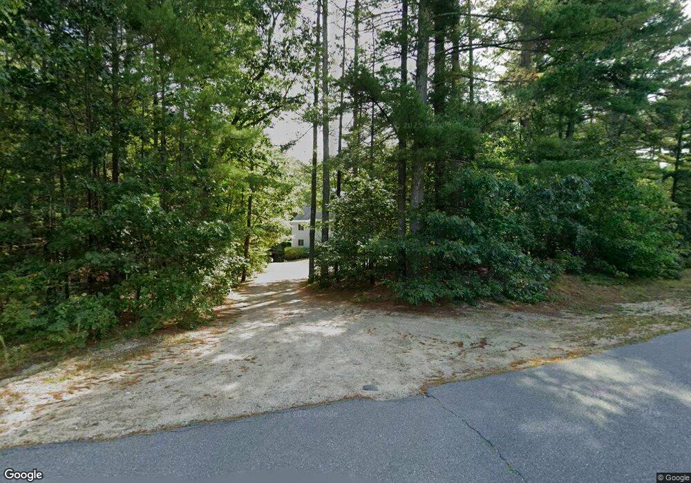
10 Flint Meadow Dr Brookline, NH 03033
Estimated Value: $500,000 - $577,000
4
Beds
2
Baths
2,059
Sq Ft
$264/Sq Ft
Est. Value
About This Home
This home is located at 10 Flint Meadow Dr, Brookline, NH 03033 and is currently estimated at $542,793, approximately $263 per square foot. 10 Flint Meadow Dr is a home with nearby schools including Richard Maghakian Memorial School, Captain Samuel Douglass Academy, and Hollis-Brookline Middle School.
Ownership History
Date
Name
Owned For
Owner Type
Purchase Details
Closed on
Jan 3, 2000
Sold by
Frechette David W
Bought by
Karlsson Joakim and Karlsson Nicole D
Current Estimated Value
Home Financials for this Owner
Home Financials are based on the most recent Mortgage that was taken out on this home.
Original Mortgage
$127,900
Outstanding Balance
$40,240
Interest Rate
7.71%
Estimated Equity
$502,553
Create a Home Valuation Report for This Property
The Home Valuation Report is an in-depth analysis detailing your home's value as well as a comparison with similar homes in the area
Home Values in the Area
Average Home Value in this Area
Purchase History
| Date | Buyer | Sale Price | Title Company |
|---|---|---|---|
| Karlsson Joakim | $159,900 | -- |
Source: Public Records
Mortgage History
| Date | Status | Borrower | Loan Amount |
|---|---|---|---|
| Open | Karlsson Joakim | $127,900 |
Source: Public Records
Tax History Compared to Growth
Tax History
| Year | Tax Paid | Tax Assessment Tax Assessment Total Assessment is a certain percentage of the fair market value that is determined by local assessors to be the total taxable value of land and additions on the property. | Land | Improvement |
|---|---|---|---|---|
| 2024 | $10,509 | $464,800 | $197,800 | $267,000 |
| 2023 | $9,659 | $464,800 | $197,800 | $267,000 |
| 2022 | $8,824 | $296,900 | $140,800 | $156,100 |
| 2021 | $8,485 | $296,900 | $140,800 | $156,100 |
| 2020 | $8,254 | $296,900 | $140,800 | $156,100 |
| 2019 | $8,868 | $296,900 | $140,800 | $156,100 |
| 2018 | $8,776 | $296,900 | $140,800 | $156,100 |
| 2017 | $7,728 | $234,600 | $105,100 | $129,500 |
| 2016 | $7,639 | $234,600 | $105,100 | $129,500 |
| 2015 | $7,284 | $234,600 | $105,100 | $129,500 |
| 2014 | $7,707 | $234,600 | $105,100 | $129,500 |
| 2013 | $7,420 | $234,600 | $105,100 | $129,500 |
Source: Public Records
Map
Nearby Homes
- 6 Flint Meadow Dr
- 46 Oak Hill Rd
- 55 Oak Hill Rd
- 22 Austin Ln
- 22 Hobart Hill Rd
- 6 High Oaks Path
- 143 Worcester Rd
- 28A Rocky Pond Rd
- 179 Brookline St
- 5 Carons Way
- 21 Cranberry St
- 167 Route 13
- 10 Boynton St
- 93 Old Milford Rd
- 7 Winterberry Rd
- 9 Winterberry Rd
- 364 Townsend Hill Rd
- 15 N End Rd
- 3 Wood Ln
- 102 Silver Lake Rd
- 9 Flint Meadow Dr
- 8 Flint Meadow Dr
- 11 Flint Meadow Dr
- 13 Flint Meadow Dr
- 7 Flint Meadow Dr Unit 94
- 12 Flint Meadow Dr
- 5 Flint Meadow Dr Unit K94-5
- 5 Flint Meadow Dr
- 15 Flint Meadow Dr
- 14 Flint Meadow Dr
- 16 Flint Meadow Dr
- 20 Flint Meadow Dr
- 66 Pepperell Rd
- 11 Proctor Hill Rd
- 17 Flint Meadow Dr
- 19 Flint Meadow Dr
- 3 Flint Meadow Dr
- 59 Pepperell Rd
- 55 Pepperell Rd
- 78 Pepperell Rd