10 Forest Ln Cumberland Center, ME 04021
West Cumberland NeighborhoodEstimated Value: $355,000 - $447,734
3
Beds
1
Bath
960
Sq Ft
$421/Sq Ft
Est. Value
About This Home
This home is located at 10 Forest Ln, Cumberland Center, ME 04021 and is currently estimated at $403,934, approximately $420 per square foot. 10 Forest Ln is a home located in Cumberland County with nearby schools including Mabel I. Wilson School, Greely Middle School 4-5, and Greely Middle School.
Ownership History
Date
Name
Owned For
Owner Type
Purchase Details
Closed on
Dec 26, 2024
Sold by
Gagne Brian E and Gagne Laura L
Bought by
Gagne Brian E
Current Estimated Value
Create a Home Valuation Report for This Property
The Home Valuation Report is an in-depth analysis detailing your home's value as well as a comparison with similar homes in the area
Home Values in the Area
Average Home Value in this Area
Purchase History
| Date | Buyer | Sale Price | Title Company |
|---|---|---|---|
| Gagne Brian E | -- | None Available | |
| Gagne Brian E | -- | None Available |
Source: Public Records
Tax History Compared to Growth
Tax History
| Year | Tax Paid | Tax Assessment Tax Assessment Total Assessment is a certain percentage of the fair market value that is determined by local assessors to be the total taxable value of land and additions on the property. | Land | Improvement |
|---|---|---|---|---|
| 2025 | $5,973 | $237,200 | $106,500 | $130,700 |
| 2024 | $5,515 | $237,200 | $106,500 | $130,700 |
| 2023 | $5,254 | $237,200 | $106,500 | $130,700 |
| 2022 | $5,029 | $237,200 | $106,500 | $130,700 |
| 2021 | $4,874 | $237,200 | $106,500 | $130,700 |
| 2020 | $4,827 | $237,200 | $106,500 | $130,700 |
| 2019 | $4,708 | $237,200 | $106,500 | $130,700 |
| 2018 | $4,600 | $233,500 | $106,500 | $127,000 |
| 2017 | $4,390 | $233,500 | $106,500 | $127,000 |
| 2016 | $4,261 | $233,500 | $106,500 | $127,000 |
| 2015 | $4,226 | $233,500 | $106,500 | $127,000 |
| 2014 | $4,063 | $233,500 | $106,500 | $127,000 |
| 2013 | $3,970 | $233,500 | $106,500 | $127,000 |
Source: Public Records
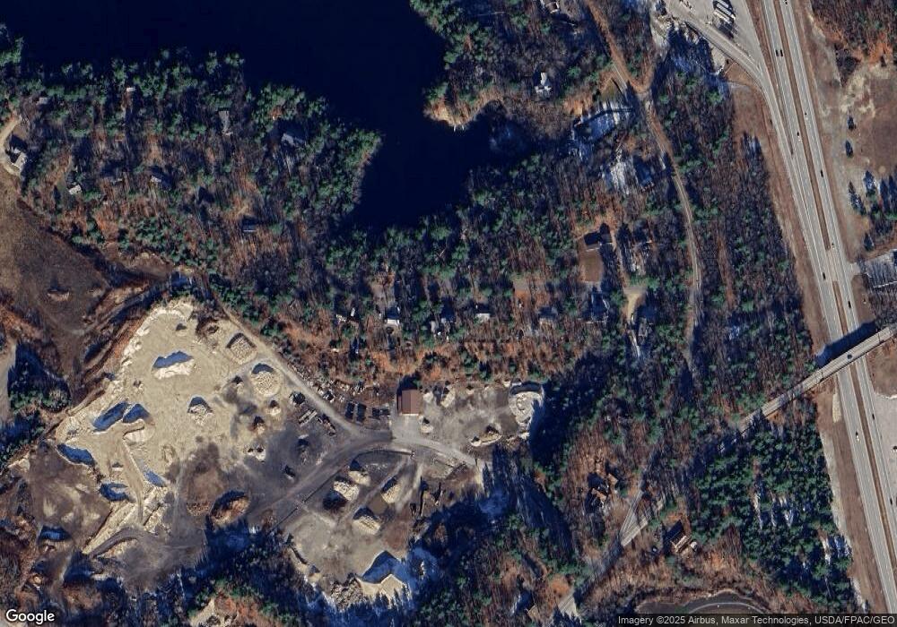
Map
Nearby Homes
- 8 Feldspar Ln Unit 29
- 25 Feldspar Ln Unit 13
- 5 Feldspar Ln Unit 3
- 1 Feldspar Ln Unit 1
- 27 Feldspar Ln Unit 14
- 13 Feldspar Ln Unit 7
- 30 Feldspar Ln Unit 21
- 24 Feldspar Ln Unit 23
- 21 Feldspar Ln Unit 11
- 31 Feldspar Ln Unit 16
- 23 Feldspar Ln Unit 12
- 26 Feldspar Ln Unit 22
- 5 Skillin Rd
- 0 Tinker Ln Unit 57D
- 53 Old Colony Ln
- 57&57D Tinker Ln and Pointer Way
- 43 Skillin Rd
- 8 Castle Rock
- 7 Castle Rock Dr
- 0 Pointer Way Unit LOT 57