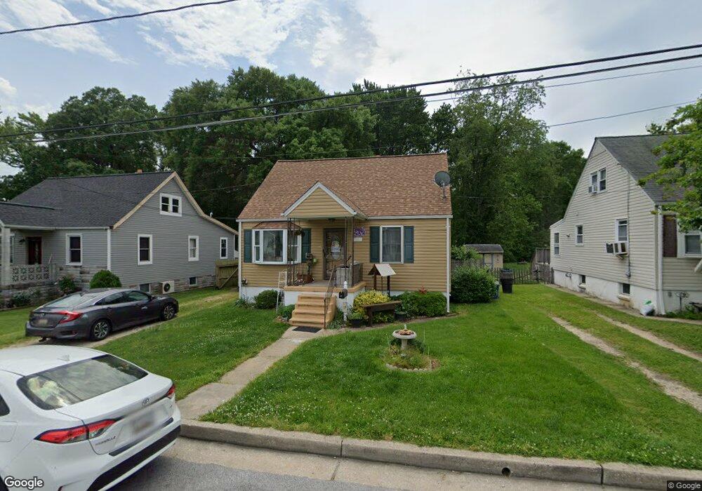
10 Forest Rd Middle River, MD 21220
Estimated Value: $265,000 - $343,000
Studio
1
Bath
1,092
Sq Ft
$271/Sq Ft
Est. Value
About This Home
This home is located at 10 Forest Rd, Middle River, MD 21220 and is currently estimated at $295,587, approximately $270 per square foot. 10 Forest Rd is a home located in Baltimore County with nearby schools including Middlesex Elementary School, Stemmers Run Middle School, and Kenwood High.
Ownership History
Date
Name
Owned For
Owner Type
Purchase Details
Closed on
Jun 20, 2016
Sold by
Dehn Albert W and Dehn Roseann
Bought by
Green Kevin D and Green Lisa M
Current Estimated Value
Home Financials for this Owner
Home Financials are based on the most recent Mortgage that was taken out on this home.
Original Mortgage
$105,545
Outstanding Balance
$84,029
Interest Rate
3.58%
Mortgage Type
New Conventional
Estimated Equity
$211,558
Purchase Details
Closed on
Jan 9, 1998
Sold by
Reed Herbert
Bought by
Dehn Albert W and Dehn Roseann
Create a Home Valuation Report for This Property
The Home Valuation Report is an in-depth analysis detailing your home's value as well as a comparison with similar homes in the area
Home Values in the Area
Average Home Value in this Area
Purchase History
| Date | Buyer | Sale Price | Title Company |
|---|---|---|---|
| Green Kevin D | $111,100 | Advantage Title Company | |
| Dehn Albert W | $84,900 | -- |
Source: Public Records
Mortgage History
| Date | Status | Borrower | Loan Amount |
|---|---|---|---|
| Open | Green Kevin D | $105,545 |
Source: Public Records
Tax History
| Year | Tax Paid | Tax Assessment Tax Assessment Total Assessment is a certain percentage of the fair market value that is determined by local assessors to be the total taxable value of land and additions on the property. | Land | Improvement |
|---|---|---|---|---|
| 2025 | $2,860 | $191,700 | -- | -- |
| 2024 | $2,860 | $174,100 | $0 | $0 |
| 2023 | $1,376 | $156,500 | $62,700 | $93,800 |
| 2022 | $2,760 | $154,000 | $0 | $0 |
| 2021 | $2,646 | $151,500 | $0 | $0 |
| 2020 | $2,646 | $149,000 | $62,700 | $86,300 |
| 2019 | $2,557 | $147,733 | $0 | $0 |
| 2018 | $2,552 | $146,467 | $0 | $0 |
| 2017 | $2,431 | $145,200 | $0 | $0 |
| 2016 | $1,890 | $144,433 | $0 | $0 |
| 2015 | $1,890 | $143,667 | $0 | $0 |
| 2014 | $1,890 | $142,900 | $0 | $0 |
Source: Public Records
Map
Nearby Homes
- 24 Harrison Ave N
- 13 Harrison Ave N
- 60 S Hawthorne Rd
- 215 Seamaster Rd
- 1812 Kitty Hawk Rd
- 1100 N Marlyn Ave
- 18 Blister St
- 214 Ballard Ave
- 37 Walkern Rd
- 33 Left Wing Dr
- 1201 Fuselage Ave
- 1535 Chilworth Ave
- 236 Endsleigh Ave
- 318 Grovethorn Rd
- 2151 Coralthorn Rd
- 2203 Coralthorn Rd
- 1713 Glen Curtis Rd
- 17 Propeller Dr
- 2124 Redthorn Rd
- 1700 Old Eastern Ave
Your Personal Tour Guide
Ask me questions while you tour the home.