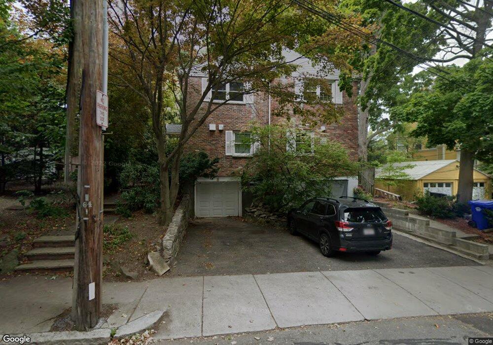
10 Francis St Unit 2 Brookline, MA 02446
Coolidge Corner NeighborhoodEstimated Value: $1,555,000 - $2,019,000
6
Beds
4
Baths
3,000
Sq Ft
$607/Sq Ft
Est. Value
About This Home
This home is located at 10 Francis St Unit 2, Brookline, MA 02446 and is currently estimated at $1,819,991, approximately $606 per square foot. 10 Francis St Unit 2 is a home located in Norfolk County with nearby schools including Amos A. Lawrence School, St. Mary of the Assumption Elementary School, and New England Hebrew Academy.
Ownership History
Date
Name
Owned For
Owner Type
Purchase Details
Closed on
Jan 14, 2011
Sold by
Gershfield Samuel and Gershfield Elizabeth A
Bought by
Zhou Jianhu and Shao Zhaohui
Current Estimated Value
Home Financials for this Owner
Home Financials are based on the most recent Mortgage that was taken out on this home.
Original Mortgage
$510,000
Outstanding Balance
$342,338
Interest Rate
4.46%
Mortgage Type
Purchase Money Mortgage
Estimated Equity
$1,477,653
Create a Home Valuation Report for This Property
The Home Valuation Report is an in-depth analysis detailing your home's value as well as a comparison with similar homes in the area
Home Values in the Area
Average Home Value in this Area
Purchase History
| Date | Buyer | Sale Price | Title Company |
|---|---|---|---|
| Zhou Jianhu | $716,500 | -- |
Source: Public Records
Mortgage History
| Date | Status | Borrower | Loan Amount |
|---|---|---|---|
| Open | Zhou Jianhu | $510,000 |
Source: Public Records
Tax History Compared to Growth
Tax History
| Year | Tax Paid | Tax Assessment Tax Assessment Total Assessment is a certain percentage of the fair market value that is determined by local assessors to be the total taxable value of land and additions on the property. | Land | Improvement |
|---|---|---|---|---|
| 2025 | $16,329 | $1,654,400 | $1,076,500 | $577,900 |
| 2024 | $15,566 | $1,593,200 | $1,035,100 | $558,100 |
| 2023 | $13,971 | $1,401,300 | $854,800 | $546,500 |
| 2022 | $13,598 | $1,334,400 | $814,000 | $520,400 |
| 2021 | $12,574 | $1,283,100 | $782,700 | $500,400 |
| 2020 | $11,390 | $1,205,300 | $711,600 | $493,700 |
| 2019 | $10,756 | $1,147,900 | $677,700 | $470,200 |
| 2018 | $9,217 | $974,300 | $527,400 | $446,900 |
| 2017 | $9,082 | $919,200 | $497,700 | $421,500 |
| 2016 | $8,952 | $859,100 | $465,100 | $394,000 |
| 2015 | $8,152 | $763,300 | $395,100 | $368,200 |
| 2014 | $8,491 | $745,500 | $359,200 | $386,300 |
Source: Public Records
Map
Nearby Homes
- 151 Longwood Ave Unit 1
- 65 Francis St Unit 65
- 65 Francis St
- 216 Aspinwall Ave
- 214 Aspinwall Ave Unit 2
- 20 Chapel St Unit APH4
- 20 Chapel St Unit B712
- 20 Chapel St Unit B811
- 57 Saint Paul St Unit 19
- 123 Sewall Ave Unit LC
- 98 Saint Paul St Unit A1
- 106 Brook St
- 60 Longwood Ave Unit 307
- 60 Longwood Ave Unit 403
- 120 Brook St Unit 1
- 30 Stearns Rd Unit 302
- 45 Longwood Ave Unit 812
- 45 Longwood Ave Unit PHA
- 50 Longwood Ave Unit 611
- 50 Longwood Ave Unit 518
- 10 Francis St
- 8 Francis St
- 7 Francis St
- 2 Francis St
- 2 Francis St Unit 1
- 2 Francis St Unit 2
- 220 Kent St
- 220 Kent St Unit 1
- 218 Kent St
- 218 Kent St Unit 4
- 218 Kent St Unit 24
- 218 Kent St Unit 21
- 218 Kent St Unit 16
- 218 Kent St
- 218 Kent St Unit 28
- 20 Francis St
- 216 Kent St
- 216 Kent St Unit 15
- 216 Kent St Unit 23
- 216 Kent St Unit 22